Gwersyllt
Located in Wrexham, Wales Coordinates: 53°04′30″ N 3°00′54″ W
- Elevation
- 86 m
- above sea level
- Local time
- UTC+00:00
- Europe/London · UTC+00:00
- Places inside
- 10
- listed under Gwersyllt
About Gwersyllt
Gwersyllt is a municipality. Location: Wrexham, Wales. Elevation: 86 m.
In comparison
- Nearest larger town: Gresford, 3 km E
- 31 sights and natural places within 10 km Wilderness Tip (Gresford), Cefn
- Listed here: Village: 6, Neighbourhood: 3, Mountain: 1
Places in Gwersyllt
10 places-
Blue Bell Estate Neighbourhood
-
Bradley Village
-
Gwersyllt Village
-
Highfield Village
-
Little Mountain Neighbourhood
-
Old Rhosrobin Village
-
Pandy Village
-
Sydallt Village
-
The W auns Neighbourhood
-
Windy Hill Mountain
Nearby attractions & nature
Everything nearby-
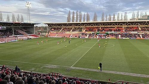 Racecourse Ground Landmark, Rhosddu2.7 km S
-
Wilderness Tip (Gresford) Mountain, Gresford1.6 km E
-
Cefn Mountain, Broughton1.7 km W
-
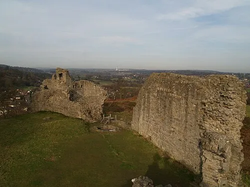 Caergwrle Castle Historic site, Hope3.9 km N
-
Caergwrle Castle Mountain, Hope3.9 km N
-
Pen-rhos Mountain, Brymbo3.9 km W
-
Roft Motte Historic site, Gresford4.5 km NE
-
Caer Estyn Mountain, Hope4 km N
Sources & licences
Data last updated: