Holt Castle
Located in Holt, Wrexham Coordinates: 53°04′41″ N 2°52′49″ W
- Local time
- UTC+00:00
- Europe/London · UTC+00:00
- Elevation
- 17 m
- above sea level
About Holt Castle
Holt Castle is a historic site. Location: Holt, Wrexham.
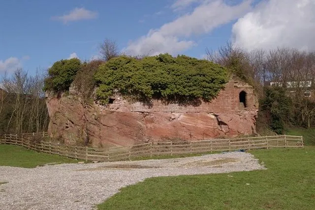
Holt Castle (Welsh: Castell Holt) was a medieval castle on the Welsh–English border, by the banks of the River Dee, in the village of Holt, Wrexham County Borough, Wales. Work began on the castle in the 13th century during the Welsh Wars. In the medieval period, the five-towered fortress was actually known as Castrum Leonis or Castle Lyons because it had a lion motif carved into the stonework above its main gate.
Read more on Wikipedia Text: Wikipedia contributors · CC BY-SA 4.0 · shortened
At a glance
- Built
- 13th century
- Heritage designation
- Grade II* listed building, scheduled monument, National Monument of Wales
- Height
- 10 m
Source: Wikidata
In comparison
- 18 sights and natural places within 10 km Farndon Mediumwave Transmitter, Shocklach Oldcastle
Nearby attractions & nature
Everything nearby-
Farndon Mediumwave Transmitter Landmark, Farndon1.7 km N
-
Shocklach Oldcastle Historic site, Church Shocklach3.7 km SE
-
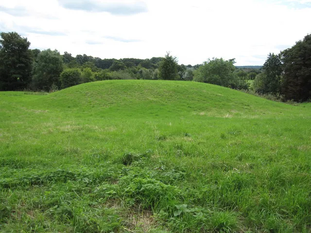 Pulford Castle Historic site, Pulford6.1 km NW
-
Coddington Mud Hill Historic site, Coddington4.3 km E
-
Poulton Abbey Historic site, Poulton4.7 km N
-
Roft Motte Historic site, Gresford5.9 km NW
-
 Racecourse Ground Landmark, Rhosddu8.8 km W
-
Aldford Blobb Hill Historic site, Aldford5.8 km N
Nearest towns and villages
-
Holt Village, Holt1.3 km S
-
Farndon Municipality, Cheshire0.9 km N
-
Farndon Village, Farndon0.7 km NE
-
Crewe-by-Farndon Municipality, Cheshire1.5 km SE
Sources & licences
Data last updated: · 2 independent sources