Rhondda Cynon Taf
Situado en Gales, Reino Unido Coordenadas: 51°40′00″ N 3°30′00″ O
El nombre de este lugar aún no se ha verificado en este idioma; se muestra en su forma original.
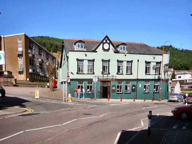
- Población
- 242.844
- 242,8 mil
- Altitud
- 314 m
- sobre el nivel del mar
- Hora local
- UTC+00:00
- Europe/London · UTC+00:00
- Lugares incluidos
- 36
- clasificados en Rhondda Cynon Taf
- Aeropuertos
- CWL Cardiff International Airport32 km
- BRS Bristol Airport63 km
Acerca de Rhondda Cynon Taf
Rhondda Cynon Taf es un distrito. Ubicación: Gales, Reino Unido. Población: 242.844. Los mejores meses para visitarlo: junio–agosto. El aeropuerto más cercano es Cardiff International Airport (32 km). Cerca se encuentran Rhondda Valley y Cefnmawr.
Clima de Rhondda Cynon Taf
Mejores meses para hacer turismoMejores meses para hacer turismo: junio–agosto.
Este mes · noviembre
Un mes lluvioso
Día 9° · Noche 4° · Lluvia 160 mm
- Mes más cálido
- Julio (día 19°)
- Mes más frío
- Febrero (noche 1°)
- Mes más lluvioso
- Diciembre (164 mm)
- Mes más seco
- Julio (80 mm)
Barras: temperatura mínima y máxima media mensual. Debajo: precipitación. Promedios mensuales de 1970–2000 con una resolución de unos 18 km, corregidos según la altitud. Los meses destacados son templados y relativamente secos. Fuente: WorldClim 2.1 (CC BY 4.0).
Ver los valores en una tabla
| Mes | ene. | feb. | mar. | abr. | may. | jun. | jul. | ago. | sep. | oct. | nov. | dic. |
|---|---|---|---|---|---|---|---|---|---|---|---|---|
| Máxima media (°C) | 6° | 6° | 8° | 11° | 14° | 17° | 19° | 19° | 16° | 12° | 9° | 7° |
| Mínima media (°C) | 1° | 1° | 2° | 3° | 6° | 9° | 11° | 11° | 9° | 7° | 4° | 2° |
| Precipitación (mm) | 162 | 115 | 122 | 88 | 84 | 87 | 80 | 107 | 122 | 142 | 160 | 164 |
Cómo llegar a Rhondda Cynon Taf
El aeropuerto más cercano es Cardiff International Airport (CWL), a 32 km en línea recta hacia el sur. La gran ciudad más cercana es Cardiff, a 30 km hacia el sureste.
Aeropuertos
- Cardiff International Airport (CWL) Cardiff 32 kmsur
- Bristol Airport (BRS) Bristol 63 kmsureste
- Exeter International Airport (EXT) Exeter, Devon 104 kmsur
Grandes ciudades cercanas
- Cardiff Población: 372,1 mil 30 kmsureste
- Swansea Población: 300,4 mil 31 kmoeste
- Newport Población: 161,5 mil 36 kmeste
- Brístol Población: 479 mil 67 kmeste
- Bath Población: 101,6 mil 85 kmeste
Distancias en línea recta; por carretera son mayores. Datos de aeropuertos: OurAirports.
Lugares en Rhondda Cynon Taf
36 lugaresCiudades y pueblos36
- Aberaman · Municipio
- Abercynon · Municipio
- Aberdare · Municipio
- Cwmbach · Municipio
- Cwm Clydach · Municipio
- Cymmer · Municipio
- Ferndale · Municipio
- Gilfach Goch · Municipio
- Hirwaun · Municipio
- Llanharan · Municipio
- Llanharry · Municipio
- Llantrisant · Municipio
- Llantwit Fardre · Municipio
- Llwydcoed · Municipio
- Llwyn-y-Pia · Municipio
- Maerdy · Municipio
- Mountain Ash · Municipio
- Penrhiwceiber · Municipio
- Pentre · Municipio
- Pen-y-Graig · Municipio
- Pen-y-Waun · Municipio
- Pont-y-Clun · Municipio
- Pontypridd · Municipio
- Porth · Municipio
- Rhigos · Municipio
- Taffs Well · Municipio
- Tonypandy · Municipio
- Tonyrefail · Municipio
- Trealaw · Municipio
- Trehafod · Municipio
- Treherbert · Municipio
- Treorchy · Municipio
- Tylorstown · Municipio
- Ynyshir · Municipio
- Ynysybwl and Coed-y-Cwm · Municipio
- Ystrad · Municipio
Atracciones y naturaleza cercanas
Todo lo cercano-
Rhondda Valley Espacio natural, Gales8 km SE
-
Cefnmawr Montaña, Glyncorrwg11 km O
-
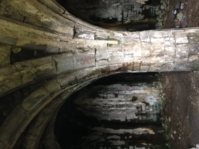 Morlais Castle Sitio histórico, Pant15 km NE
-
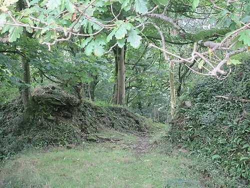 Llangynwyd Castle Sitio histórico, Llangynwyd Middle14 km SO
-
Glyn Castle Sitio histórico, Resolven14 km O
Fuentes y licencias
Datos actualizados por última vez: