St Dunstan & All Saints Church
Situado en Tower Hamlets, Londres Coordenadas: 51°31′01″ N 0°02′30″ O
El nombre de este lugar aún no se ha verificado en este idioma; se muestra en su forma original.
- Hora local
- UTC+00:00
- Europe/London · UTC+00:00
- Altitud
- 15 m
- sobre el nivel del mar
- Aeropuertos
- LCY London City Airport7 km
- LHR London Heathrow Airport29 km
Acerca de St Dunstan & All Saints Church
St Dunstan & All Saints Church es una atracción turística. Ubicación: Tower Hamlets, Londres. Los mejores meses para visitarlo: junio–agosto. El aeropuerto más cercano es London City Airport (7 km). Cerca se encuentran puente de la Torre y Torre de Londres.
Fotos de St Dunstan & All Saints Church
-
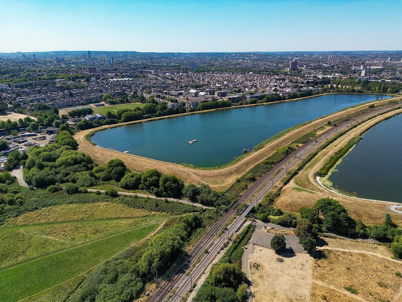
West Warwick Reservoir Russss · CC BY-SA 4.0 -
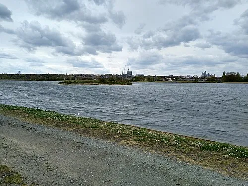
East Warwick Reservoir Mx. Granger · CC0 -
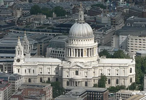
Catedral de San Pablo de Londres Mark Fosh · CC BY 2.0 -
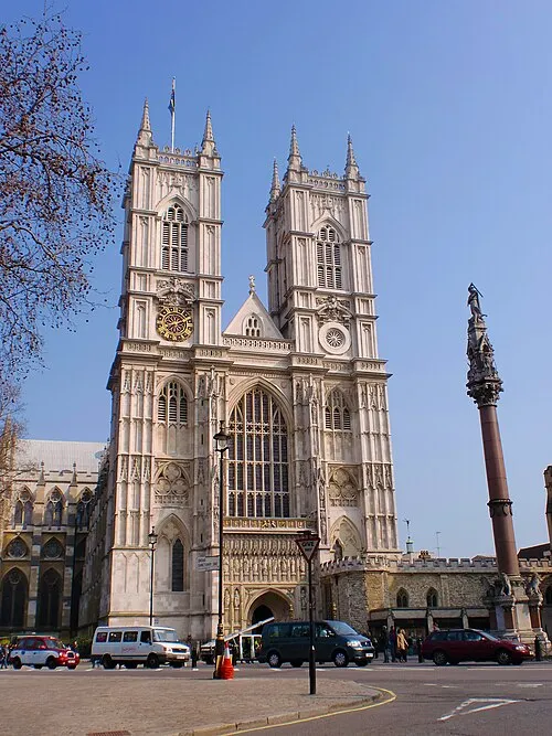
Abadía de Westminster Σπάρτακος · CC BY-SA 3.0 -
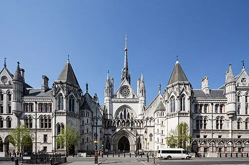
Reales Tribunales de Justicia This image was produced by me, David Castor · CC0


Clima de St Dunstan & All Saints Church
Mejores meses para hacer turismoMejores meses para hacer turismo: junio–agosto.
Este mes · noviembre
Un mes frío
Día 11° · Noche 4° · Lluvia 61 mm
- Mes más cálido
- Julio (día 23°)
- Mes más frío
- Febrero (noche 2°)
- Mes más lluvioso
- Enero (62 mm)
- Mes más seco
- Febrero (40 mm)
Barras: temperatura mínima y máxima media mensual. Debajo: precipitación. Promedios mensuales de 1970–2000 con una resolución de unos 18 km, corregidos según la altitud. Los meses destacados son templados y relativamente secos. Fuente: WorldClim 2.1 (CC BY 4.0).
Ver los valores en una tabla
| Mes | ene. | feb. | mar. | abr. | may. | jun. | jul. | ago. | sep. | oct. | nov. | dic. |
|---|---|---|---|---|---|---|---|---|---|---|---|---|
| Máxima media (°C) | 8° | 8° | 11° | 13° | 17° | 21° | 23° | 23° | 19° | 15° | 11° | 8° |
| Mínima media (°C) | 2° | 2° | 3° | 4° | 7° | 11° | 13° | 13° | 10° | 7° | 4° | 3° |
| Precipitación (mm) | 62 | 40 | 47 | 45 | 48 | 53 | 42 | 49 | 57 | 61 | 61 | 59 |
Cómo llegar a St Dunstan & All Saints Church
El aeropuerto más cercano es London City Airport (LCY), a 7 km en línea recta hacia el este. Para vuelos internacionales: London Heathrow Airport (LHR) (29 km). La gran ciudad más cercana es Islington, a 5 km hacia el noroeste.
Aeropuertos
- London City Airport (LCY) London 7 kmeste
- London Heathrow Airport (LHR) London 29 kmoeste
- London Gatwick Airport (LGW) London 42 kmsur
Grandes ciudades cercanas
- Islington Población: 319,1 mil 5 kmnoroeste
- Londres Población: 9 M 6 kmoeste
- City of Westminster Población: 247,6 mil 7 kmoeste
- Walthamstow Población: 109,4 mil 8 kmnorte
- Archway Población: 215,7 mil 9 kmnoroeste
Distancias en línea recta; por carretera son mayores. Datos de aeropuertos: OurAirports.
Excursiones desde St Dunstan & All Saints Church
A menos de 100 km: 822 sitios históricos y culturales, 581 espacios naturales, 324 lagos, ríos y costas.
0–25 km416 lugares
- White Hart Lane Monumento 10 kmN
- Lot's Ait Isla 18 kmO
- Ravens Ait Isla 23 kmSO
- Rook Island Isla 8 kmNE
25–60 km583 lugares
- Spotlites @ Kings Theatre Atracción turística 43 kmE
- Yantlet beach Playa 50 kmE
- The Lynch Isla 59 kmO
- Northey Island Isla 57 kmNE
60–100 km728 lugares
- Isle of Sheppey Isla 62 kmE
- St Nicholas Church Shoreham Atracción turística 77 kmS
- The Marlipins Museum Museo 78 kmS
- Camber Sands Playa 87 kmSE
Distancias en línea recta.
Atracciones y naturaleza cercanas
Todo lo cercano-
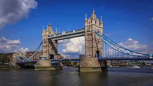 puente de la Torre Monumento, Tower Hamlets2,6 km SO
-
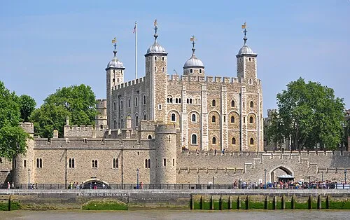 Torre de Londres Sitio histórico, Tower Hamlets2,6 km O
-
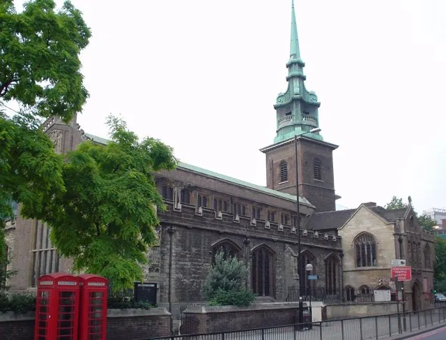 All Hallows-by-the-Tower Atracción turística, City of London2,7 km O
-
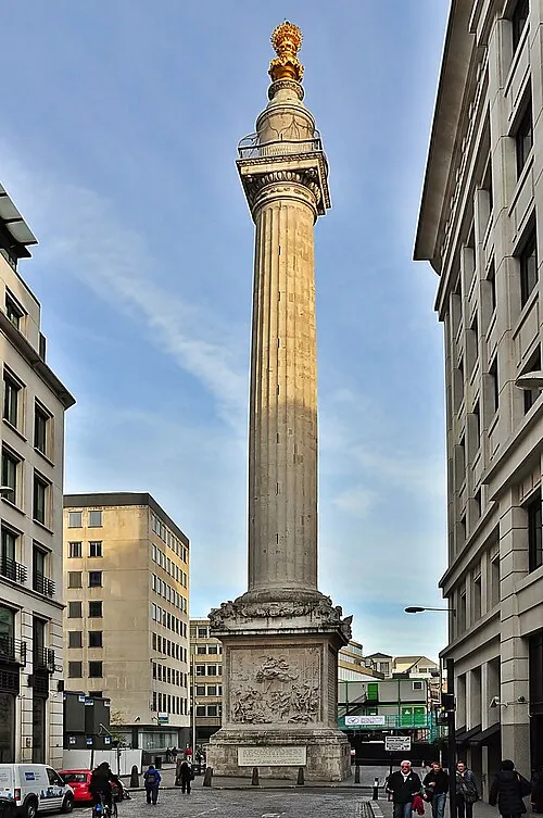 Monumento al Gran Incendio de Londres Monumento, City of London3,2 km O
-
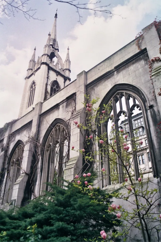 St Dunstans-in-the-East Sitio histórico, City of London2,9 km O
-
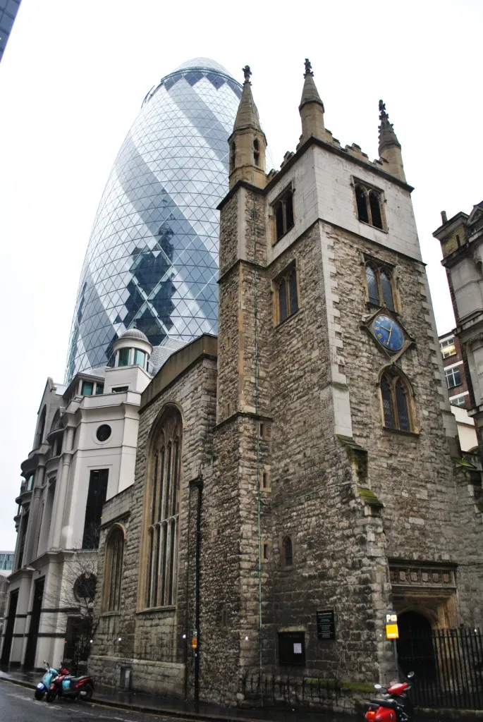 St Andrew Undershaft Atracción turística, City of London2,8 km O
-
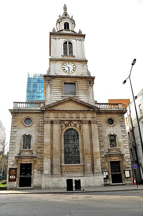 St Botolph-without-Bishopsgate Atracción turística, City of London2,8 km O
-
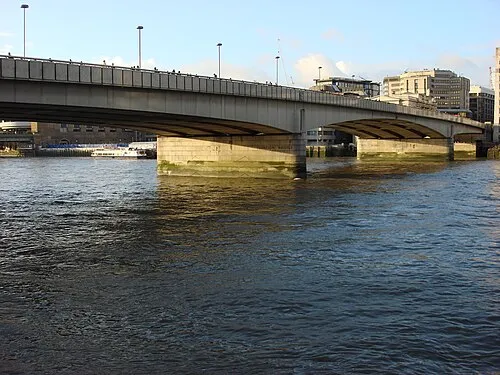 London Bridge Monumento, City of London3,3 km O
Ciudades y pueblos más cercanos
-
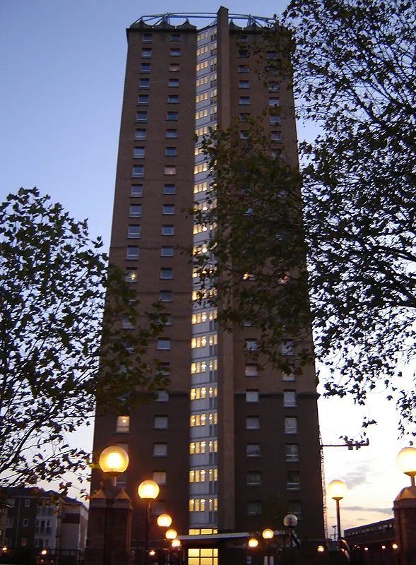 Stepney Localidad, Tower Hamlets0,1 km NO
-
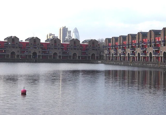 Shadwell Localidad, Tower Hamlets1,2 km SO
-
 Limehouse Barrio, Tower Hamlets0,7 km SE
-
 Canary Wharf Barrio, Tower Hamlets1,9 km SE
Fuentes y licencias
Datos actualizados por última vez: