- Höhe
- 377 m
- über dem Meeresspiegel
- Ortszeit
- UTC+01:00
- Europe/Rome · UTC+01:00
- Flughäfen
- EBA Marina di Campo Airport7 km
- BIA Bastia-Poretta International airport73 km
Über Monte Orello
Monte Orello ist ein Berg. Lage: Capoliveri, Provinz Livorno. Höhe: 377 m. Die beste Reisezeit: Juni–September. Nächster Flughafen: Marina di Campo Airport (7 km). In der Nähe: Spiaggia di Acquarilli und Monte Barbatoia.
Fotos: Monte Orello
-
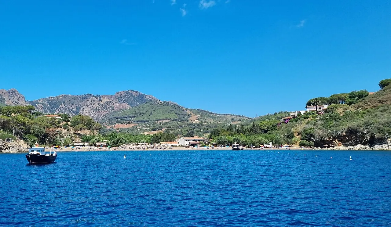
Spiaggia Di Barbarossa Robertgarrigos · CC BY-SA 3.0 -
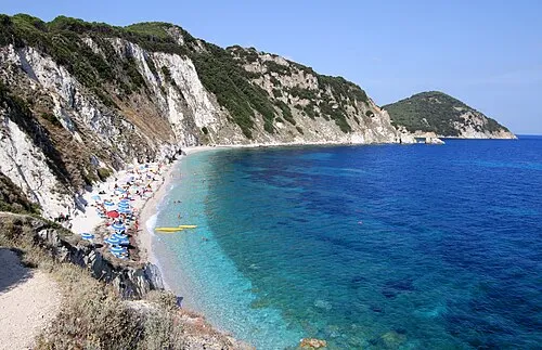
Spiaggia Di Sansone Carlo Pelagalli · CC BY-SA 3.0 -
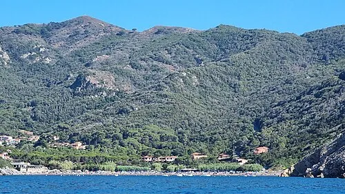
Spiaggia di Nisporto Robertgarrigos · CC BY-SA 3.0 -
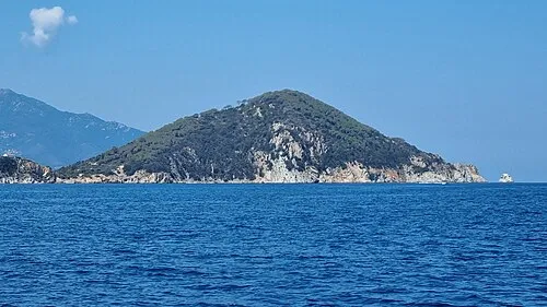
Monte Enfola Robertgarrigos · CC BY-SA 3.0 -
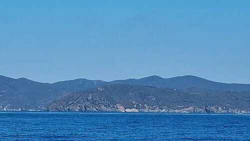
Capo Stella Robertgarrigos · CC BY-SA 3.0


Klima in Monte Orello
Beste Monate für BesichtigungenBeste Monate für Besichtigungen: Juni–September.
Dieser Monat · November
Außerhalb der besten Reisezeit
Tag 14° · Nacht 9° · Regen 76 mm
- Wärmster Monat
- August (Tag 26°)
- Kältester Monat
- Februar (Nacht 5°)
- Nassester Monat
- Oktober (79 mm)
- Trockenster Monat
- Juli (10 mm)
Balken: mittlere Monatstiefst- und -höchsttemperatur. Darunter: Niederschlag. Monatsmittel 1970–2000 bei etwa 18 km Auflösung, höhenkorrigiert. Hervorgehobene Monate sind mild und relativ trocken. Quelle: WorldClim 2.1 (CC BY 4.0).
Werte als Tabelle anzeigen
| Monat | Jan | Feb | Mär | Apr | Mai | Jun | Jul | Aug | Sep | Okt | Nov | Dez |
|---|---|---|---|---|---|---|---|---|---|---|---|---|
| Mittleres Maximum (°C) | 10° | 10° | 12° | 15° | 18° | 22° | 25° | 26° | 22° | 18° | 14° | 11° |
| Mittleres Minimum (°C) | 5° | 5° | 7° | 9° | 13° | 16° | 19° | 19° | 17° | 13° | 9° | 6° |
| Niederschlag (mm) | 52 | 51 | 50 | 46 | 35 | 23 | 10 | 27 | 53 | 79 | 76 | 61 |
Weitere Reiseziele in dieser Zeit: Juni Juli August September
Anreise nach Monte Orello
Nächster Flughafen ist Marina di Campo Airport (EBA), Luftlinie 7 km Richtung Westen. Für internationale Flüge: Bastia-Poretta International airport (BIA) (73 km). Nächste Großstadt ist Nizza, 268 km Richtung Nordwesten.
Flughäfen
- Marina di Campo Airport (EBA) Campo nell'Elba (LI) 7 kmWesten
- Bastia-Poretta International airport (BIA) Bastia 73 kmWesten
- Pisa International Airport (PSA) Pisa (PI) 101 kmNorden
Großstädte in der Nähe
- Nizza Einwohner: 342.669 268 kmNordwesten
- Toulon Einwohner: 168.701 360 kmWesten
Luftlinie; die Straßenentfernung ist länger. Flughafendaten: OurAirports.
Tagesausflüge ab Monte Orello
Im Umkreis von 100 km: 140 historische und kulturelle Stätten, 194 Naturorte, 149 Seen, Flüsse und Küsten.
0–25 km52 Orte
- Calamoresca Strand 23 kmNO
- Fosso alle Canne Strand 25 kmNO
- Strand von Marina Di Campo Strand 8 kmSW
- Spiaggia Laconella Strand 3 kmSW
25–60 km44 Orte
- Medusa Strand 56 kmO
- Oasi Strand 56 kmO
- Kite Beach Fiumara Strand 53 kmO
- Cala Civette Strand 38 kmO
60–100 km387 Orte
- Poggio Mosconcino Berg 67 kmO
- Parco della Rimembranza Naturgebiet 65 kmO
- Parco di Villa Pizzetti Naturgebiet 64 kmO
- Parco del fiume Ombrone Silvano Signori Naturgebiet 66 kmO
Luftlinie.
Nächstgelegene Städte und Dörfer
-
San Giovanni Dorf, Portoferraio1,4 km N
-
 Lacona Dorf, Capoliveri2,6 km SW
-
Valcarene Dorf, Portoferraio1,7 km W
-
Schiopparello I Dorf, Portoferraio2,1 km NO
-
Casa del Duca Dorf, Portoferraio1,9 km N
-
Le Foci Dorf, Portoferraio2,2 km NW
Sehenswertes & Natur in der Nähe
Alles in der Nähe-
Spiaggia di Acquarilli Strand, Capoliveri2,2 km SO
-
Monte Barbatoia Berg, Portoferraio3 km W
-
Spiaggia di Lacona Strand, Capoliveri2,6 km SW
-
Monte San Martino Berg, Portoferraio3,6 km W
-
Spiaggia Laconella Strand, Capoliveri3,3 km SW
-
Monte Pericoli Berg, Portoferraio4,1 km W
-
Monte Poppe Berg, Portoferraio4,2 km NW
-
Capo Stella Naturgebiet, Toskana4,8 km S
Mehr Natur in Italien
-
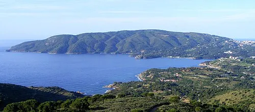 Monte Calamita Berg, Capoliveri8,2 km SO
-
Poggio Fino Berg, Capoliveri9,6 km SO
Quellen & Lizenzen
Daten zuletzt aktualisiert: · 2 unabhängige Quellen