Gmina Góra Świętej Małgorzaty
Liegt in Łęczyca County, Woiwodschaft Łódź Koordinaten: 52°03′55″ N 19°18′58″ O
Der Name dieses Ortes wurde in dieser Sprache noch nicht verifiziert und wird in der Originalform angezeigt.
- Einwohner
- 4.406
- 4406
- Höhe
- 113 m
- über dem Meeresspiegel
- Ortszeit
- UTC+01:00
- Europe/Warsaw · UTC+01:00
- Orte darin
- 2
- unter Gmina Góra Świętej Małgorzaty verzeichnet
- Flughäfen
- LCJ Łódź Władysław Reymont Airport39 km
- WMI Warsaw Modlin Airport101 km
Über Gmina Góra Świętej Małgorzaty
Gmina Góra Świętej Małgorzaty ist eine Gemeinde. Lage: Łęczyca County, Woiwodschaft Łódź. Einwohner: 4.406. Höhe: 113 m. Die beste Reisezeit: Mai–September. Nächster Flughafen: Łódź Władysław Reymont Airport (39 km). In der Nähe: Ghetto Ozorków und Ghetto Piątek.
Fotos: Gmina Góra Świętej Małgorzaty
-
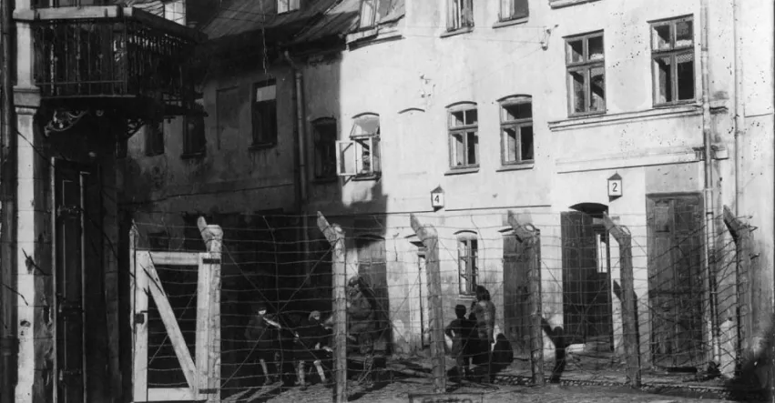
Ghetto Łęczyca Unknown author Unknown author · Public domain

Klima in Gmina Góra Świętej Małgorzaty
Beste Monate für BesichtigungenBeste Monate für Besichtigungen: Mai–September.
Dieser Monat · November
Ein kalter Monat
Tag 6° · Nacht 0° · Regen 37 mm
- Wärmster Monat
- August (Tag 24°)
- Kältester Monat
- Januar (Nacht -5°)
- Nassester Monat
- Juli (75 mm)
- Trockenster Monat
- Februar (21 mm)
Balken: mittlere Monatstiefst- und -höchsttemperatur. Darunter: Niederschlag. Monatsmittel 1970–2000 bei etwa 18 km Auflösung, höhenkorrigiert. Hervorgehobene Monate sind mild und relativ trocken. Quelle: WorldClim 2.1 (CC BY 4.0).
Werte als Tabelle anzeigen
| Monat | Jan | Feb | Mär | Apr | Mai | Jun | Jul | Aug | Sep | Okt | Nov | Dez |
|---|---|---|---|---|---|---|---|---|---|---|---|---|
| Mittleres Maximum (°C) | 0° | 1° | 8° | 14° | 19° | 22° | 24° | 24° | 19° | 13° | 6° | 1° |
| Mittleres Minimum (°C) | -5° | -5° | 0° | 4° | 8° | 11° | 13° | 13° | 9° | 5° | 0° | -3° |
| Niederschlag (mm) | 27 | 21 | 30 | 32 | 48 | 67 | 75 | 61 | 49 | 36 | 37 | 37 |
Weitere Reiseziele in dieser Zeit: Mai Juni Juli August September
Anreise nach Gmina Góra Świętej Małgorzaty
Nächster Flughafen ist Łódź Władysław Reymont Airport (LCJ), Luftlinie 39 km Richtung Süden. Nächste Großstadt ist Brünn, 372 km Richtung Südwesten.
Flughäfen
- Łódź Władysław Reymont Airport (LCJ) Łódź 39 kmSüden
- Warsaw Modlin Airport (WMI) Nowy Dwór Mazowiecki 101 kmNordosten
- Warsaw Chopin Airport (WAW) Warsaw 114 kmOsten
Großstädte in der Nähe
- Brünn Einwohner: 404.296 372 kmSüdwesten
- Košice Einwohner: 225.044 397 kmSüden
Luftlinie; die Straßenentfernung ist länger. Flughafendaten: OurAirports.
Tagesausflüge ab Gmina Góra Świętej Małgorzaty
Im Umkreis von 100 km: 71 historische und kulturelle Stätten, 2 Naturorte.
0–25 km7 Orte
- Ghetto Krośniewice Historische Stätte 22 kmNW
- Ghetto Warta Historische Stätte 21 kmNW
- Ghetto Kutno Historische Stätte 19 kmN
- Ghetto Łęczyca Historische Stätte 7 kmW
25–60 km32 Orte
- Ghetto Gąbin Historische Stätte 47 kmNO
- Ghetto Bolimów Historische Stätte 58 kmO
- Ghetto Brzeziny Historische Stätte 42 kmSO
- Ghetto Bugaj Historische Stätte 47 kmS
60–100 km34 Orte
- Złota Góra Berg 69 kmW
- Borowa Hill Berg 83 kmS
- Ghetto Piotrków Kujawski Historische Stätte 79 kmNW
- Ghetto Rawa Mazowiecka Historische Stätte 72 kmSO
Luftlinie.
Orte in Gmina Góra Świętej Małgorzaty
2 OrteGóra Świętej Małgorzaty
Einwohner: 357
-
Sehenswertes & Natur in der Nähe
Alles in der Nähe-
Ghetto Ozorków Historische Stätte, Ozorków11 km S
-
Ghetto Piątek Historische Stätte, Piątek11 km O
-
Ghetto Miłosna Historische Stätte, Krośniewice19 km NW
-
Ghetto Krośniewice Historische Stätte, Krośniewice22 km NW
-
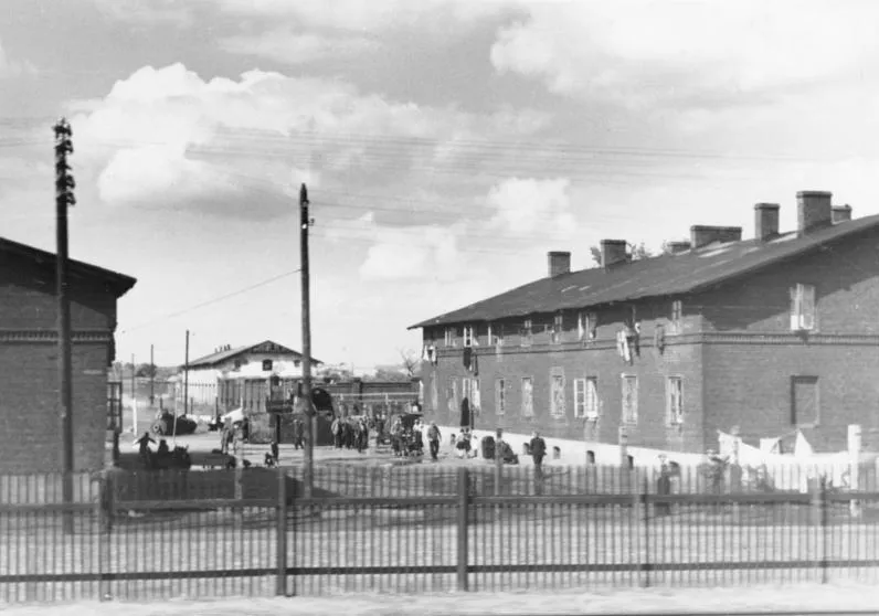 Ghetto Kutno Historische Stätte, Kutno19 km N
-
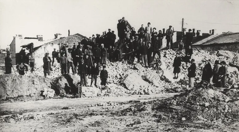 Ghetto Warta Historische Stätte, Grabów21 km NW
Quellen & Lizenzen
Daten zuletzt aktualisiert: