South Northamptonshire District
Liegt in West Northamptonshire, England Koordinaten: 52°07′05″ N 1°01′02″ W
Der Name dieses Ortes wurde in dieser Sprache noch nicht verifiziert und wird in der Originalform angezeigt.
- Einwohner
- 89.959
- 89.959
- Höhe
- 113 m
- über dem Meeresspiegel
- Ortszeit
- UTC+00:00
- Europe/London · UTC+00:00
- Orte darin
- 78
- unter South Northamptonshire District verzeichnet
- Flughäfen
- LTN London Luton Airport52 km
- BHX Birmingham Airport62 km
Über South Northamptonshire District
South Northamptonshire District ist eine Gemeinde. Lage: West Northamptonshire, England. Einwohner: 89.959. Höhe: 113 m. Die beste Reisezeit: Juni–August. Nächster Flughafen: London Luton Airport (52 km). In der Nähe: Northampton Castle und Canons Ashby Castle Hill.
Fotos: South Northamptonshire District
-
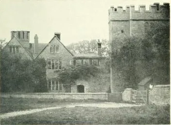
Astwell Castle Allan Fea · Public domain -
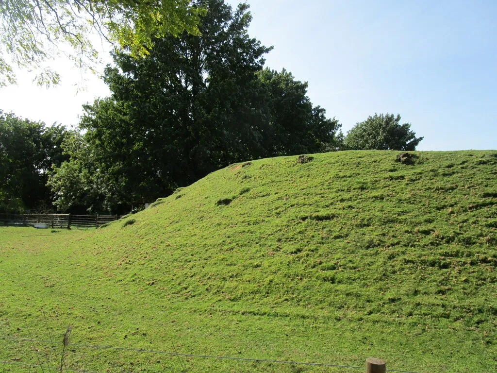
Sulgrave Castle Hill Jonathan Thacker · CC BY-SA 2.0 -
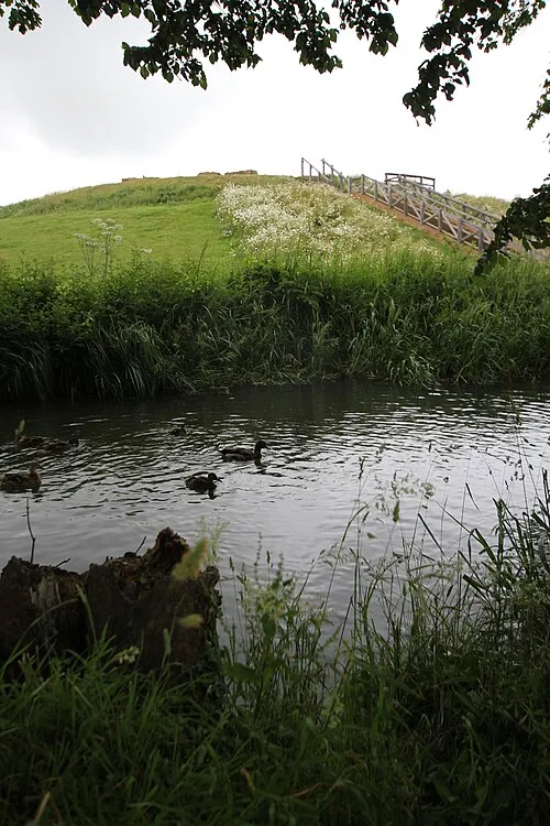
Bury Mount Cj1340 · CC BY-SA 3.0


Klima in South Northamptonshire District
Beste Monate für BesichtigungenBeste Monate für Besichtigungen: Juni–August.
Dieser Monat · November
Ein kalter Monat
Tag 10° · Nacht 4° · Regen 61 mm
- Wärmster Monat
- Juli (Tag 22°)
- Kältester Monat
- Februar (Nacht 1°)
- Nassester Monat
- Dezember (63 mm)
- Trockenster Monat
- Februar (43 mm)
Balken: mittlere Monatstiefst- und -höchsttemperatur. Darunter: Niederschlag. Monatsmittel 1970–2000 bei etwa 18 km Auflösung, höhenkorrigiert. Hervorgehobene Monate sind mild und relativ trocken. Quelle: WorldClim 2.1 (CC BY 4.0).
Werte als Tabelle anzeigen
| Monat | Jan | Feb | Mär | Apr | Mai | Jun | Jul | Aug | Sep | Okt | Nov | Dez |
|---|---|---|---|---|---|---|---|---|---|---|---|---|
| Mittleres Maximum (°C) | 7° | 7° | 10° | 12° | 16° | 19° | 22° | 21° | 18° | 14° | 10° | 7° |
| Mittleres Minimum (°C) | 1° | 1° | 2° | 4° | 6° | 9° | 12° | 11° | 9° | 7° | 4° | 2° |
| Niederschlag (mm) | 60 | 43 | 53 | 47 | 52 | 56 | 48 | 59 | 59 | 59 | 61 | 63 |
Anreise nach South Northamptonshire District
Nächster Flughafen ist London Luton Airport (LTN), Luftlinie 52 km Richtung Südosten. Nächste Großstadt ist Northampton, 17 km Richtung Nordosten.
Flughäfen
- London Luton Airport (LTN) Luton, Luton 52 kmSüdosten
- Birmingham Airport (BHX) Birmingham, West Midlands 62 kmNordwesten
- London Heathrow Airport (LHR) London 82 kmSüdosten
Großstädte in der Nähe
- Northampton Einwohner: 245.899 17 kmNordosten
- Milton Keynes Einwohner: 256.385 20 kmSüdosten
- Bedford Einwohner: 106.940 38 kmOsten
- Oxford Einwohner: 162.100 44 kmSüden
- Coventry Einwohner: 345.324 47 kmNordwesten
Luftlinie; die Straßenentfernung ist länger. Flughafendaten: OurAirports.
Tagesausflüge ab South Northamptonshire District
Im Umkreis von 100 km: 916 historische und kulturelle Stätten, 584 Naturorte, 261 Seen, Flüsse und Küsten.
0–25 km89 Orte
- Monkey Island Insel 10 kmS
- Tongwell Lake See 20 kmO
- Willen Lake See 22 kmO
- Furzton Lake See 21 kmSO
25–60 km452 Orte
- Andersey Island Insel 53 kmS
- Rose Isle Insel 47 kmS
- Lock Wood Island Insel 51 kmS
- Abbey Meadow Insel 53 kmS
60–100 km1.220 Orte
- White Hart Lane Wahrzeichen 87 kmSO
- The Lynch Insel 70 kmS
- Holm Island Insel 83 kmSO
- Sunbury Court Insel 90 kmSO
Luftlinie.
South Northamptonshire District und vergleichbare Städte
Im Vergleich mit ähnlich großen Städten im selben Land: Einwohner, Höhe und Klima.
| Kennzahl | South Northamptonshire District | Grays | Chester | Hartlepool |
|---|---|---|---|---|
| Einwohner | 89.959 | 89.755 | 90.524 | 88.855 |
| Höhe | 113 m | 13 m | 34 m | 11 m |
| Sommer Tag (wärmster Monat) | 22° | 22° | 20° | 20° |
| Winter Nacht (kältester Monat) | 1° | 2° | 1° | 2° |
| Jahresniederschlag | 660 mm | 645 mm | 695 mm | 751 mm |
| Beste Monate | Jun–Aug | Jun–Aug | Jun–Aug | Jun–Sep |
| Entfernung | — | 117 km | 174 km | 286 km |
Klimawerte: Monatsmittel 1970–2000; Entfernung in Luftlinie.
Orte in South Northamptonshire District
78 OrteStädte & Dörfer60
- Abthorpe · Dorf
- Adstone · Dorf
- Alderton · Dorf
- Ashton · Dorf
- Aston Le Walls · Dorf
- Aynho · Dorf
- Blakesley · Dorf
- Blisworth · Dorf
- Boddington · Dorf
- Brackley · Dorf
- Bradden · Dorf
- Brafield on the Green · Dorf
- Bugbrooke · Dorf
- Castle Ashby · Dorf
- Chacombe · Dorf
- Chipping Warden and Edgcote · Dorf
- Cogenhoe and Whiston · Dorf
- Cold Higham · Dorf
- Cosgrove · Dorf
- Courteenhall · Dorf
- Croughton · Dorf
- Culworth · Dorf
- Deanshanger · Dorf
- Denton · Dorf
- Easton Neston · Dorf
- Evenley · Dorf
- Eydon · Dorf
- Farthinghoe · Dorf
- Gayton · Dorf
- Grafton Regis · Dorf
- Grange Park · Dorf
- Greatworth · Dorf
- Greens Norton · Dorf
- Hackleton · Dorf
- Harpole · Dorf
- Hartwell · Dorf
- Helmdon · Dorf
- Hinton-in-the-Hedges · Dorf
- Kings Sutton · Dorf
- Kislingbury · Dorf
- Litchborough · Dorf
- Little Houghton · Dorf
- Maidford · Dorf
- Marston St. Lawrence · Dorf
- Middleton Cheney · Dorf
- Milton Malsor · Dorf
- Moreton Pinkney · Dorf
- Nether Heyford · Dorf
- Newbottle · Dorf
- Old Stratford · Dorf
- Overthorpe · Dorf
- Pattishall · Dorf
- Paulerspury · Dorf
- Potterspury · Dorf
- Quinton · Dorf
- Radstone · Dorf
- Roade · Dorf
- Rothersthorpe · Dorf
- Shutlanger · Dorf
- Silverstone · Dorf
Sehenswertes & Natur in der Nähe
Alles in der Nähe-
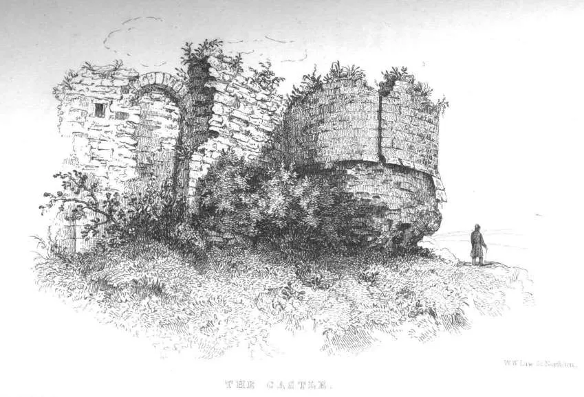 Northampton Castle Historische Stätte, Northampton15 km NO
-
Canons Ashby Castle Hill Historische Stätte, Canons Ashby11 km W
-
Farthingstone Castle Dykes Historische Stätte, Farthingstone11 km NW
-
Buckingham Castle Historische Stätte, Buckingham14 km S
-
Beaumont Castle Historische Stätte, Mixbury14 km SW
-
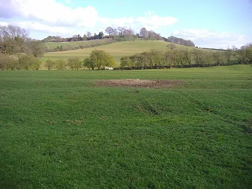 Arbury Hill Berg, Catesby18 km NW
-
Bradwell Motte Historische Stätte, Bradwell18 km SO
Quellen & Lizenzen
Daten zuletzt aktualisiert: