Frankenau-Unterpullendorf
Located in Oberpullendorf District, Burgenland Coordinates: 47°27′41″ N 16°34′22″ E
- Population
- 1,114
- 1.1K
- Elevation
- 237 m
- above sea level
- Local time
- UTC+01:00
- Europe/Vienna · UTC+01:00
- Places inside
- 4
- listed under Frankenau-Unterpullendorf
About Frankenau-Unterpullendorf
Frankenau-Unterpullendorf is a municipality. Location: Oberpullendorf District, Burgenland. Population: 1,114. Elevation: 237 m.
In comparison
- No. 17 of 28 places in Oberpullendorf District by population
- Nearest larger town: Mitterpullendorf, 5 km NW
- 7 sights and natural places within 10 km Raidingbach, Stoober Bach
- Listed here: Village: 4
Places in Frankenau-Unterpullendorf
4 places-
Unterpullendorf Village436
-
Frankenau Village415
-
Kleinmutschen Village106
-
Grossmutschen Village
Nearby attractions & nature
Everything nearby-
Raidingbach River, Lutzmannsburg3.3 km E
-
Stoober Bach River, Lutzmannsburg3.5 km E
-
Swickl Berg Mountain, Mannersdorf an der Rabnitz9.1 km W
-
Kőszeg Ghetto Historic site, Vas County8.8 km S
-
Gaberling Bach River, Oberpullendorf4.9 km NW
-
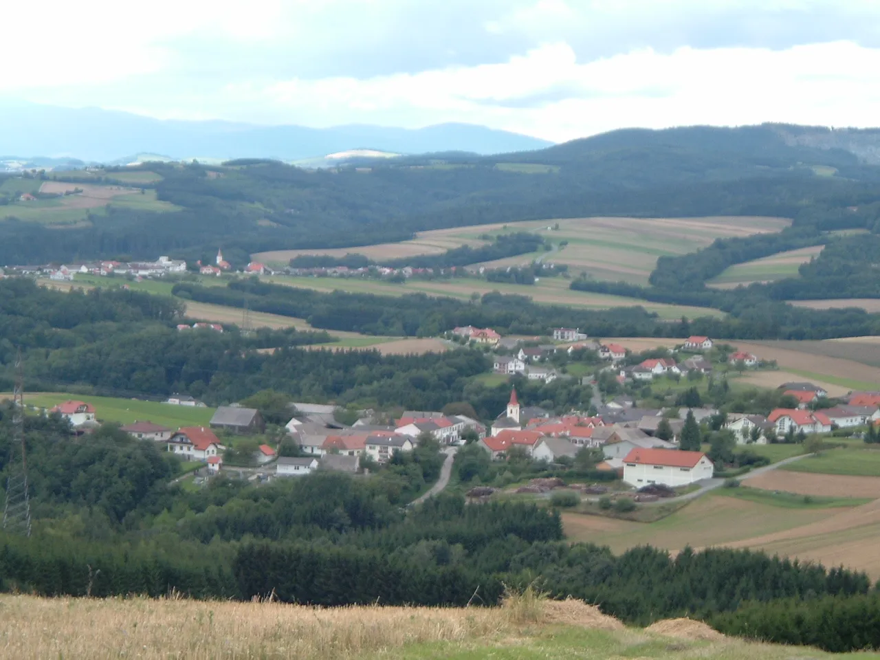 Alpokalja Mountain, Hungary11 km S
-
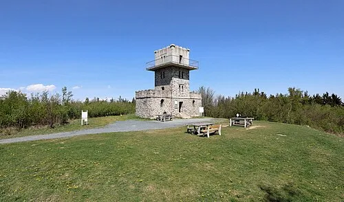 Írott-kő Mountain, Rechnitz16 km SW
-
Zaya Bach River, Lutzmannsburg6 km E
Sources & licences
Data last updated: