Glanegg
Located in Feldkirchen District, Carinthia Coordinates: 46°43′17″ N 14°12′42″ E
- Population
- 1,884
- 1.9K
- Elevation
- 524 m
- above sea level
- Local time
- UTC+01:00
- Europe/Vienna · UTC+01:00
- Places inside
- 28
- listed under Glanegg
About Glanegg
Glanegg is a municipality. Location: Feldkirchen District, Carinthia. Population: 1,884. Elevation: 524 m.
In comparison
- No. 4 of 10 places in Feldkirchen District by population
- Nearest larger town: Liebenfels, 5 km NE
- 25 sights and natural places within 10 km Veitsberg, Krobather Berg
- Listed here: Village: 26, Mountain: 2
Places in Glanegg
28 places-
Friedlach Village277
-
Glanegg Village245
-
Maria Feicht Village155
-
Tauchendorf Village150
-
Kadöll Village125
-
Sankt Leonhard Village116
-
Gramilach Village90
-
Haidach Village88
-
Schwambach Village80
-
Mautbrücken Village62
-
Besendorf Village60
-
Glantscha Village53
-
Paindorf Village53
-
Gösselsberg Village44
-
Krobathen Village34
-
Flatschach Village21
-
Grintschach Village19
-
Maria Feicht-Gegend Village19
-
Unterglanegg Village15
-
Deblach Village8
-
Kulm Village7
-
Meschkowitz Village6
-
Krobather Berg Mountain
-
Mauthbrücken Village
-
Oberhaidach Village
-
Veitsberg Mountain
-
Wasai Village
-
Zwattendorf Village
Nearby attractions & nature
Everything nearby-
Freudenberg Mountain, Moosburg2.6 km S
-
Altliebenburg Historic site, Liebenfels2.8 km N
-
Hardegg Historic site, Liebenfels3 km E
-
Gößeberg Mountain, St. Urban3.3 km N
-
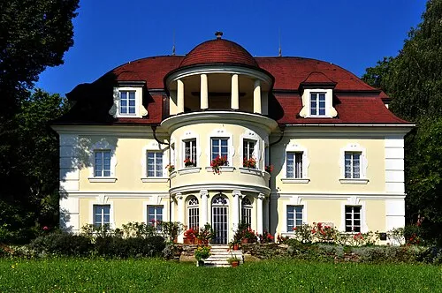 Lind Historic site, Klagenfurt6.9 km SE
-
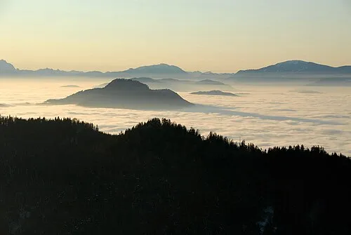 Ulrichsberg Mountain, St. Veit an der Glan7.2 km E
-
Roggbach River, Carinthia4.7 km W
-
Paulsberg Mountain, St. Urban6.1 km NW
Sources & licences
Data last updated: