Kleines Reisseck
Located in Malta, Spittal an der Drau District Coordinates: 46°57′00″ N 13°22′00″ E
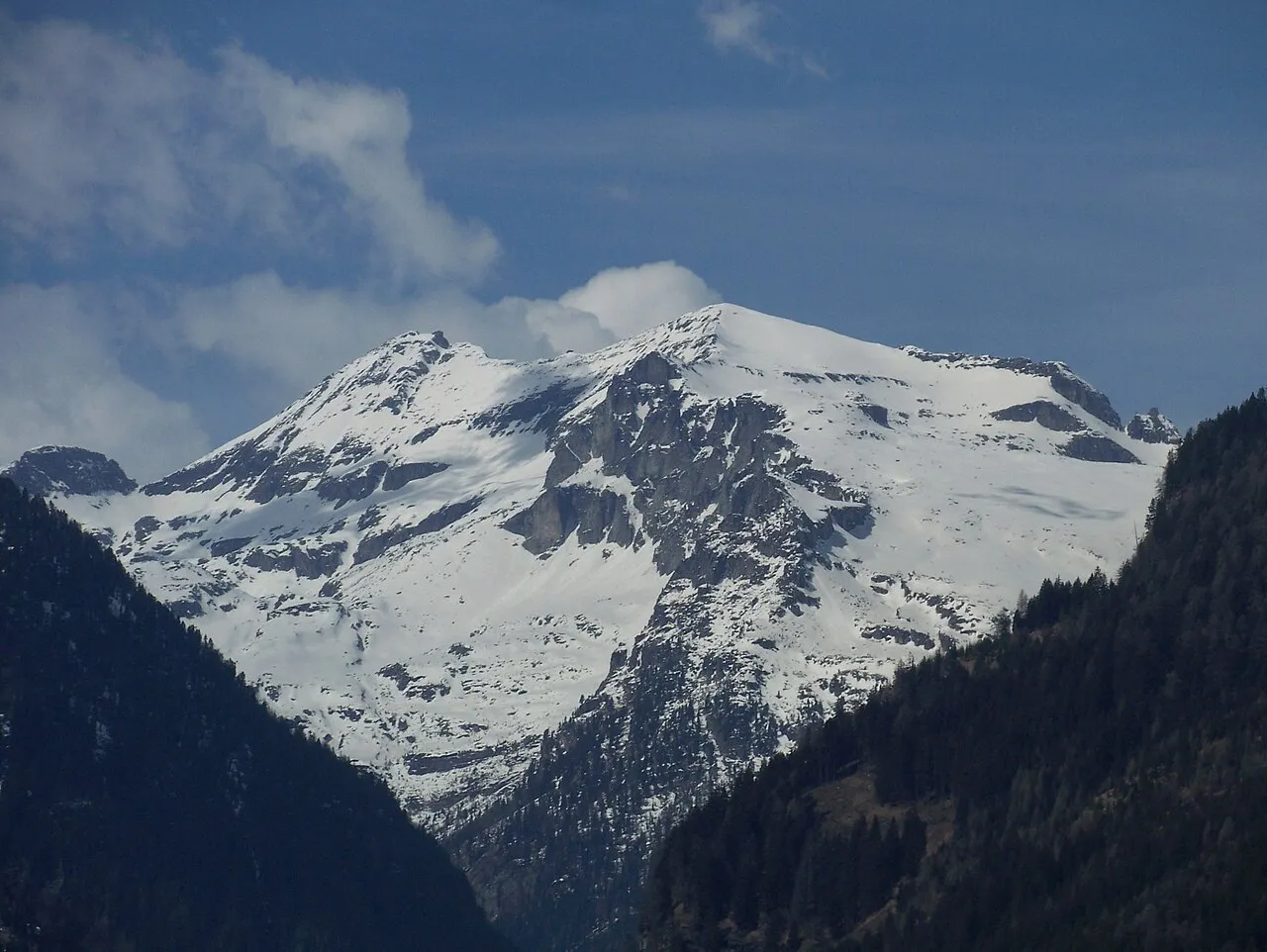
- Elevation
- 2,591 m
- above sea level
- Local time
- UTC+01:00
- Europe/Vienna · UTC+01:00
- Airports
- KLU Klagenfurt Airport82 km
- SZG Salzburg Airport98 km
About Kleines Reisseck
Kleines Reisseck is a mountain. Location: Malta, Spittal an der Drau District. Elevation: 2,591 m. The nearest airport is Klagenfurt Airport (82 km). Nearby sights include Reisseck and Lärchriegel.
Photos of Kleines Reisseck
-
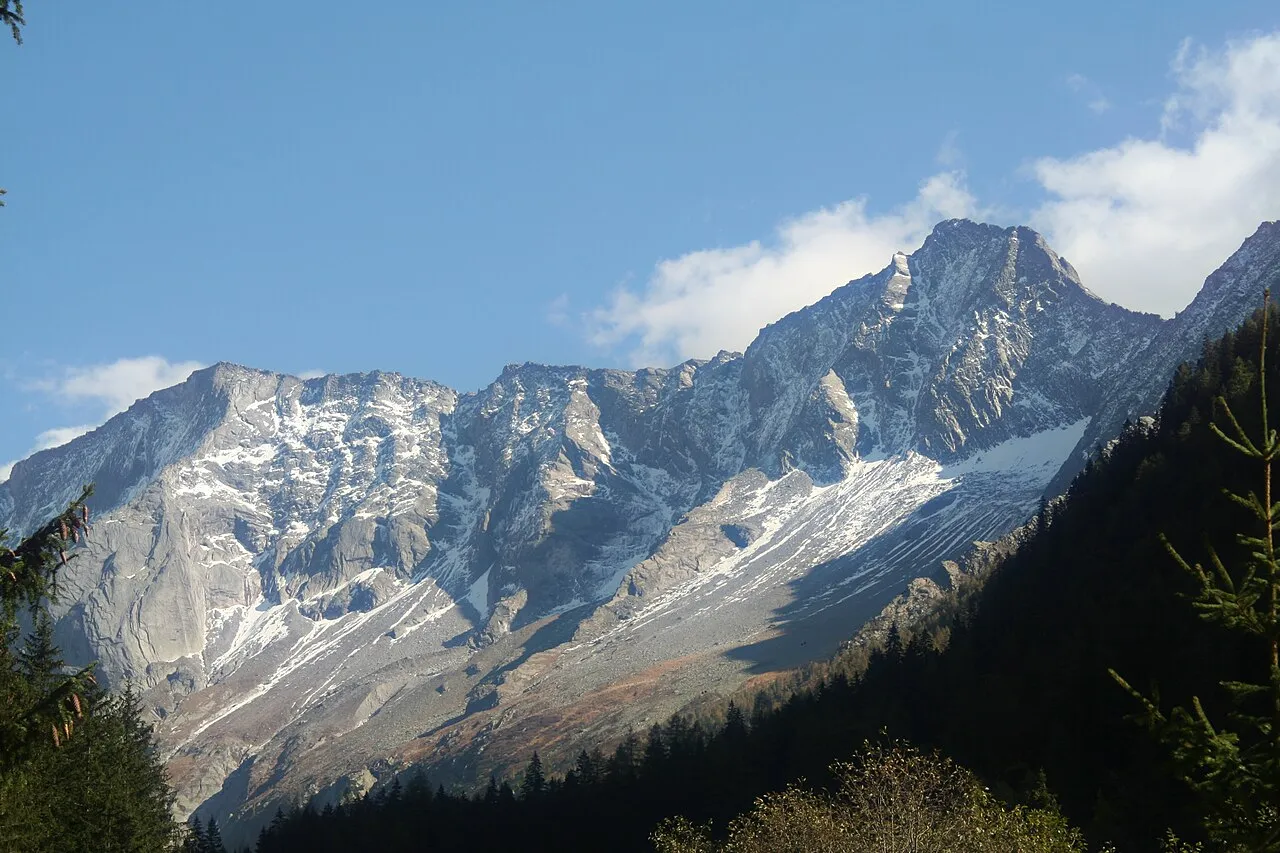
Säuleck JJ55 · Public domain -
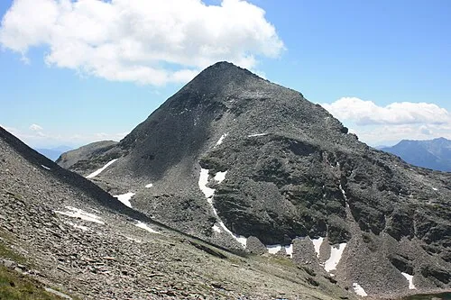
Riedbock JJ55 · Public domain -
Reisseck Peter Tritthart at de.wikipedia · Public domain -
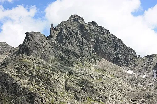
Kleine Leier JJ55 · Public domain -
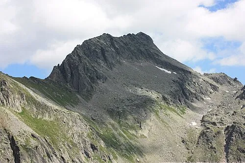
Hohe Leier JJ55 · Public domain


Climate of Kleines Reisseck
This month · November
A wet month
Day -4° · Night -11° · Rain 128 mm
- Hottest month
- July (day 10°)
- Coldest month
- January (night -15°)
- Wettest month
- July (181 mm)
- Driest month
- February (70 mm)
Bars: average monthly low and high temperature. Below: precipitation. Monthly averages for 1970–2000 at about 18 km resolution, adjusted for elevation. Highlighted months are mild and relatively dry. Source: WorldClim 2.1 (CC BY 4.0).
Show values as a table
| Month | Jan | Feb | Mar | Apr | May | Jun | Jul | Aug | Sep | Oct | Nov | Dec |
|---|---|---|---|---|---|---|---|---|---|---|---|---|
| Average high (°C) | -7° | -7° | -4° | -1° | 4° | 8° | 10° | 10° | 7° | 2° | -4° | -7° |
| Average low (°C) | -15° | -15° | -13° | -10° | -5° | -2° | 0° | 1° | -3° | -6° | -11° | -14° |
| Precipitation (mm) | 79 | 70 | 98 | 120 | 137 | 171 | 181 | 161 | 143 | 133 | 128 | 99 |
How to get to Kleines Reisseck
The nearest airport is Klagenfurt Airport (KLU), 82 km to the southeast as the crow flies. The nearest large city is Klagenfurt, 80 km to the southeast.
Airports
- Klagenfurt Airport (KLU) Klagenfurt am Wörthersee 82 kmsoutheast
- Salzburg Airport (SZG) Salzburg 98 kmnorth
- Ljubljana Jože Pučnik Airport (LJU) Zgornji Brnik 116 kmsoutheast
Nearby large cities
- Klagenfurt Population: 100.3K 80 kmsoutheast
- Salzburg Population: 157.2K 98 kmnorth
- Ljubljana Population: 272.2K 133 kmsoutheast
- Innsbruck Population: 132.5K 154 kmwest
- Graz Population: 303.3K 158 kmeast
Straight-line distances; road distances are longer. Airport data: OurAirports.
Day trips from Kleines Reisseck
Within 100 km: 276 historic and cultural sites, 3,846 natural sites, 980 lakes, rivers and coasts.
0–25 km283 places
- Unterer Zwenberger See Lake 4 kmW
- Unterer Schwarzsee Lake 18 kmN
- Unterer Schwarzhorn See Lake 14 kmNW
- Striedensee Lake 20 kmW
25–60 km1,727 places
- Planica Natural site 60 kmSE
- Vorderer Langtalsee Lake 45 kmW
- Seeriessee Lake 53 kmNE
- Untersee Lake 48 kmN
60–100 km3,092 places
- Hoher Dachstein Mountain 61 kmN
- Lake Bohinj Lake 83 kmSE
- Lake Bled Lake 86 kmSE
- Triglav Mountain 73 kmSE
Straight-line distances.
Nearest towns and villages
-
Obermentebauer Village, Malta3.8 km NE
-
Trebesing Municipality, Spittal an der Drau District8.3 km SE
-
Mühldorf Municipality, Spittal an der Drau District8.5 km S
-
Oberkolbnitz Village, Reißeck7.8 km SW
-
Hattelberg Village, Reißeck6.7 km SW
-
Brandstatt Village, Malta8.5 km NE
Nearby attractions & nature
Everything nearby-
Reisseck Mountain, Malta<0.1 km N
-
Lärchriegel Mountain, Malta1.9 km N
-
Riedbock Mountain, Reißeck2.3 km S
-
Ritterspitzen Mountain, Malta2.2 km NW
-
Radleck Mountain, Trebesing2.2 km SE
-
Säuleck Mountain, Malta2.3 km N
-
Zinkenspitzen Mountain, Tyrol2.5 km E
-
Sonnblick Mountain, Reißeck2.5 km W
More nature in Austria
-
Tandelspitz Mountain, Malta3.9 km E
-
Stipennock Mountain, Malta4.2 km NE
-
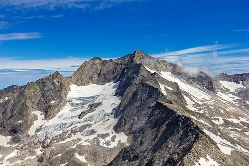 Hochalmspitze Mountain, Malta8.1 km NW
-
Schmiednock Mountain, Malta5.7 km N
-
Höhennock Mountain, Malta6.1 km NE
-
Winkel Spitze Mountain, Malta6.7 km NW
Sources & licences
Data last updated: · 2 independent sources