Trebesing
Located in Spittal an der Drau District, Carinthia Coordinates: 46°54′15″ N 13°27′08″ E
- Population
- 1,169
- 1.2K
- Elevation
- 1,812 m
- above sea level
- Local time
- UTC+01:00
- Europe/Vienna · UTC+01:00
- Places inside
- 18
- listed under Trebesing
About Trebesing
Trebesing is a municipality. Location: Spittal an der Drau District, Carinthia. Population: 1,169. Elevation: 1,812 m.
In comparison
- No. 28 of 33 places in Spittal an der Drau District by population
- Nearest larger town: Lendorf, 5 km S
- 48 sights and natural places within 10 km Stoder, Hühnersberg
- Listed here: Mountain: 11, Village: 7
Places in Trebesing
18 places-
Zlatting Village270
-
Trebesing Village174
-
Altersberg Village122
-
Zelsach Village82
-
Neuschitz Village52
-
Pirk Village29
-
Bockstein Mountain
-
Donnerschlag Mountain
-
Eckberg Mountain
-
Hohe Leier Mountain
-
Hohenkareck Mountain
-
Hühnersberg Mountain
-
Königsangerspitze Mountain
-
Radleck Mountain
-
Steinkopf Mountain
-
Stoder Mountain
-
Strasser Village
-
Vordere Leier Mountain
Nearby attractions & nature
Everything nearby-
Kirschberger Graben Natural site, Carinthia3.6 km SW
-
Dornbachalpe Mountain, Malta3.8 km N
-
Plankogel Mountain, Lendorf4.7 km SW
-
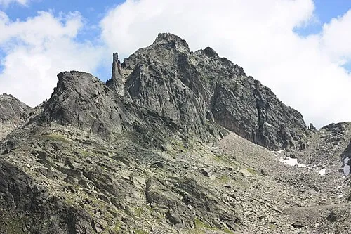 Kleine Leier Mountain, Lendorf5.3 km W
-
Böse Nase Mountain, Lendorf4.4 km SW
-
Sonnblick Mountain, Lendorf5.3 km W
-
Hochegg Mountain, Lendorf5.7 km W
-
Liesertal Natural site, Carinthia6.2 km E
Sources & licences
Data last updated: