Großer Friedrichskopf
Located in Mörtschach, Spittal an der Drau District Coordinates: 46°57′28″ N 12°49′42″ E
- Elevation
- 3,044 m
- above sea level
- Local time
- UTC+01:00
- Europe/Vienna · UTC+01:00
- Airports
- SZG Salzburg Airport94 km
- INN Innsbruck Airport118 km
About Großer Friedrichskopf
Großer Friedrichskopf is a mountain. Location: Mörtschach, Spittal an der Drau District. Elevation: 3,044 m. The nearest airport is Salzburg Airport (94 km). Nearby sights include Graskopf and Georgskopf.
Photos of Großer Friedrichskopf
-
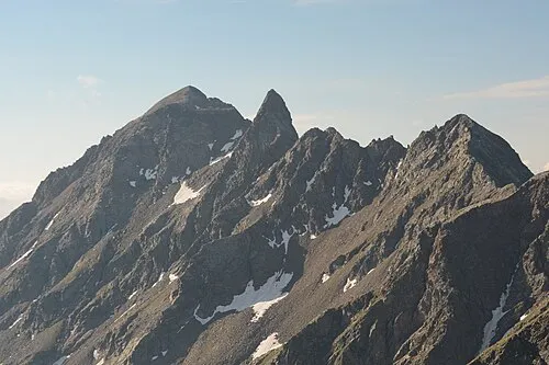
Seichenkopf Michael Kranewitter · CC BY-SA 4.0 -
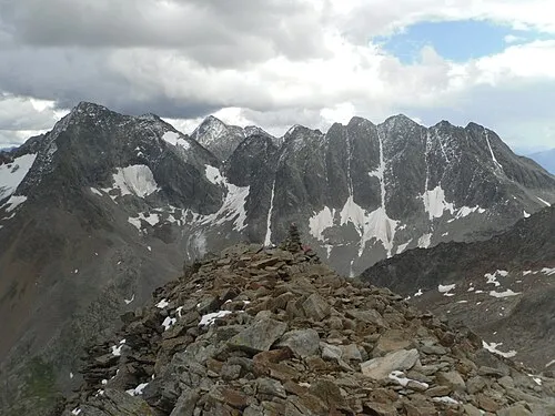
Klammerköpfe Ptolusque · CC BY-SA 4.0 -
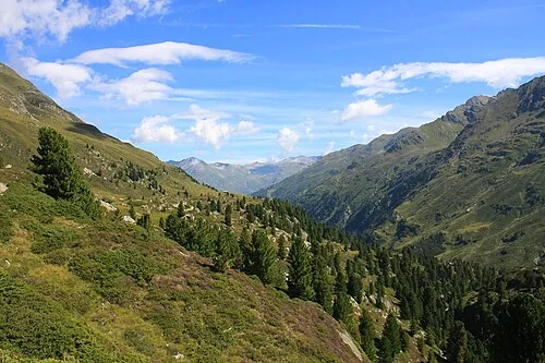
Gößnitz Antiope05411 · CC BY-SA 3.0 -
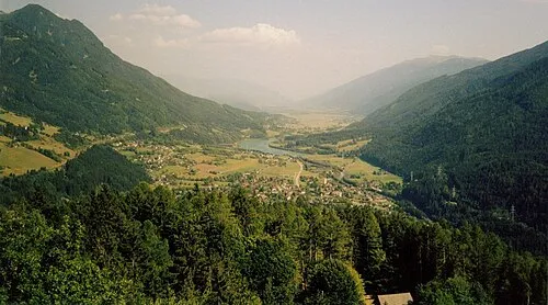
Mölltal Scanned by User:Jarlhelm · CC BY-SA 3.0


Climate of Großer Friedrichskopf
This month · November
A wet month
Day -6° · Night -12° · Rain 112 mm
- Hottest month
- July (day 7°)
- Coldest month
- January (night -16°)
- Wettest month
- July (165 mm)
- Driest month
- February (72 mm)
Bars: average monthly low and high temperature. Below: precipitation. Monthly averages for 1970–2000 at about 18 km resolution, adjusted for elevation. Highlighted months are mild and relatively dry. Source: WorldClim 2.1 (CC BY 4.0).
Show values as a table
| Month | Jan | Feb | Mar | Apr | May | Jun | Jul | Aug | Sep | Oct | Nov | Dec |
|---|---|---|---|---|---|---|---|---|---|---|---|---|
| Average high (°C) | -10° | -9° | -7° | -4° | 1° | 5° | 7° | 7° | 4° | 0° | -6° | -9° |
| Average low (°C) | -16° | -16° | -14° | -11° | -7° | -3° | -1° | -1° | -4° | -7° | -12° | -15° |
| Precipitation (mm) | 76 | 72 | 96 | 111 | 126 | 149 | 165 | 150 | 119 | 109 | 112 | 90 |
How to get to Großer Friedrichskopf
The nearest airport is Salzburg Airport (SZG), 94 km to the north as the crow flies. The nearest large city is Salzburg, 95 km to the north.
Airports
- Salzburg Airport (SZG) Salzburg 94 kmnorth
- Innsbruck Airport (INN) Innsbruck 118 kmwest
- Klagenfurt Airport (KLU) Klagenfurt am Wörthersee 120 kmeast
Nearby large cities
- Salzburg Population: 157.2K 95 kmnorth
- Innsbruck Population: 132.5K 114 kmwest
- Klagenfurt Population: 100.3K 119 kmeast
- Munich Population: 1.5M 162 kmnorthwest
- Ljubljana Population: 272.2K 163 kmsoutheast
Straight-line distances; road distances are longer. Airport data: OurAirports.
Day trips from Großer Friedrichskopf
Within 100 km: 186 historic and cultural sites, 4,047 natural sites, 857 lakes, rivers and coasts.
0–25 km543 places
- Vorderer Langtalsee Lake 6 kmNW
- Oberer Kleineisersee Lake 25 kmNW
- Unterer Kleineisersee Lake 25 kmNW
- Schwarzsee Lake 22 kmNW
25–60 km1,699 places
- Sille River 36 kmSW
- Fürlegsee Lake 25 kmNW
- Eissee Lake 36 kmW
- Brandlsee Lake 31 kmN
60–100 km2,848 places
- Hoher Dachstein Mountain 82 kmNE
- Prestreljenik Mountain 83 kmSE
- Krn Mountain 100 kmSE
- Vršič Mountain 91 kmSE
Straight-line distances.
Nearest towns and villages
-
Großkirchheim Municipality, Spittal an der Drau District5.7 km NE
-
Ranach Village, Großkirchheim4.3 km E
-
Stampfen Village, Mörtschach5.7 km E
-
Döllach Village, Großkirchheim5.5 km E
-
Egg Village, Großkirchheim4.1 km NE
-
Winklsagritz Village, Großkirchheim4.8 km E
Nearby attractions & nature
Everything nearby-
Graskopf Mountain, Großkirchheim1.1 km N
-
Georgskopf Mountain, Mörtschach0.8 km SW
-
Kreuzspitze Mountain, Großkirchheim1.9 km SE
-
Petzeck Mountain, Großkirchheim1.8 km SW
-
Wangenitz Tal Natural site, Carinthia2.8 km SE
-
Gradental Natural site, Carinthia2.9 km N
-
Kreuzkopf Mountain, Großkirchheim3.6 km W
-
Östlicher Perschitzkopf Mountain, Großkirchheim3.4 km SW
More nature in Austria
-
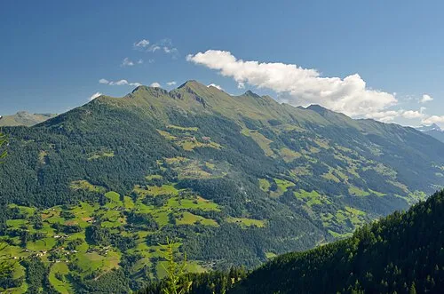 Zellinkopf Mountain, Mörtschach12 km SE
-
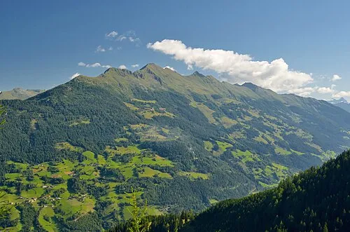 Laitenkopf Mountain, Mörtschach10 km SE
-
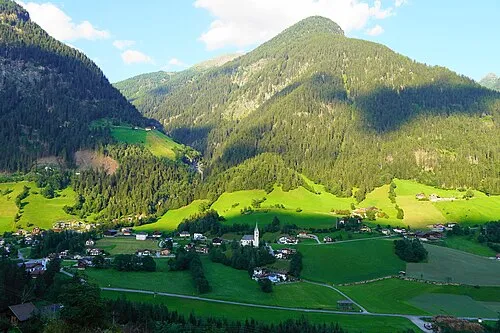 Goaschnigkogel Mountain, Mörtschach10 km E
-
Wetschkenkopf Mountain, Mörtschach7.3 km E
-
Rote Wand Mountain, Mörtschach12 km E
-
Sadnig Mountain, Mörtschach12 km E
Sources & licences
Data last updated: