Wetschkenkopf
Located in Mörtschach, Spittal an der Drau District Coordinates: 46°56′00″ N 12°55′00″ E
- Elevation
- 1,458 m
- above sea level
- Local time
- UTC+01:00
- Europe/Vienna · UTC+01:00
- Airports
- SZG Salzburg Airport96 km
- KLU Klagenfurt Airport113 km
About Wetschkenkopf
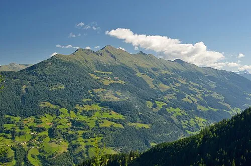
Wetschkenkopf is a mountain. Location: Mörtschach, Spittal an der Drau District. Elevation: 1,458 m. The nearest airport is Salzburg Airport (96 km). Nearby sights include Asten Tal and Astenbach.
Climate of Wetschkenkopf
This month · November
A wet month
Day 4° · Night -3° · Rain 104 mm
- Hottest month
- July (day 18°)
- Coldest month
- January (night -7°)
- Wettest month
- July (165 mm)
- Driest month
- February (62 mm)
Bars: average monthly low and high temperature. Below: precipitation. Monthly averages for 1970–2000 at about 18 km resolution, adjusted for elevation. Highlighted months are mild and relatively dry. Source: WorldClim 2.1 (CC BY 4.0).
Show values as a table
| Month | Jan | Feb | Mar | Apr | May | Jun | Jul | Aug | Sep | Oct | Nov | Dec |
|---|---|---|---|---|---|---|---|---|---|---|---|---|
| Average high (°C) | 0° | 1° | 4° | 7° | 12° | 15° | 18° | 18° | 14° | 10° | 4° | 1° |
| Average low (°C) | -7° | -7° | -5° | -2° | 3° | 6° | 9° | 9° | 5° | 2° | -3° | -6° |
| Precipitation (mm) | 66 | 62 | 83 | 100 | 121 | 152 | 165 | 150 | 121 | 109 | 104 | 80 |
How to get to Wetschkenkopf
The nearest airport is Salzburg Airport (SZG), 96 km to the north as the crow flies. The nearest large city is Salzburg, 97 km to the north.
Airports
- Salzburg Airport (SZG) Salzburg 96 kmnorth
- Klagenfurt Airport (KLU) Klagenfurt am Wörthersee 113 kmeast
- Innsbruck Airport (INN) Innsbruck 125 kmwest
Nearby large cities
- Salzburg Population: 157.2K 97 kmnorth
- Klagenfurt Population: 100.3K 111 kmeast
- Innsbruck Population: 132.5K 121 kmwest
- Munich Population: 1.5M 168 kmnorthwest
- Linz Population: 204.8K 184 kmnortheast
Straight-line distances; road distances are longer. Airport data: OurAirports.
Day trips from Wetschkenkopf
Within 100 km: 189 historic and cultural sites, 3,962 natural sites, 854 lakes, rivers and coasts.
0–25 km440 places
- Vorderer Langtalsee Lake 13 kmNW
- Brettersee Lake 18 kmN
- Sandersee Lake 20 kmNW
- Kachelsee Lake 15 kmNW
25–60 km1,714 places
- Sille River 40 kmSW
- Fürlegsee Lake 32 kmNW
- Eissee Lake 43 kmW
- Brandlsee Lake 35 kmN
60–100 km2,851 places
- Hoher Dachstein Mountain 80 kmNE
- Piz Gralba Mountain 97 kmSW
- Piz Miara Mountain 97 kmSW
- Seeriessee Lake 78 kmNE
Straight-line distances.
Nearest towns and villages
-
Mörtschach Village, Mörtschach1.1 km S
-
Stampfen Village, Mörtschach1.5 km W
-
Pirkachberg Village, Mörtschach1.3 km W
-
Stranach Village, Mörtschach2.2 km SW
-
Vordere Asten Village, Mörtschach1.8 km NE
-
Oberlassach Village, Mörtschach1.9 km S
Nearby attractions & nature
Everything nearby-
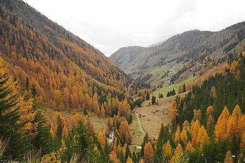 Asten Tal Natural site, Carinthia3 km NE
-
Astenbach River, Carinthia1.2 km S
-
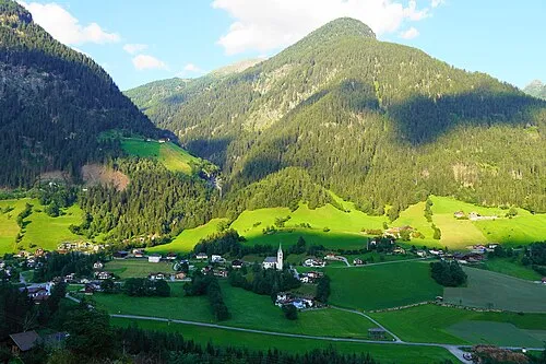 Goaschnigkogel Mountain, Mörtschach3.2 km E
-
Wangenitzbach River, Carinthia1.5 km NW
-
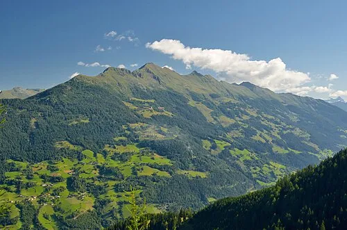 Laitenkopf Mountain, Mörtschach3.9 km S
-
Mellenbach River, Carinthia2.2 km S
-
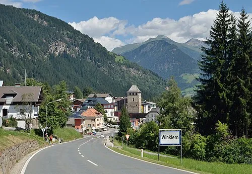 Mohar Mountain, Großkirchheim4.6 km NE
-
 Zellinkopf Mountain, Mörtschach4.9 km SE
Sources & licences
Data last updated: