Mohar
Located in Großkirchheim, Spittal an der Drau District Coordinates: 46°58′08″ N 12°56′49″ E
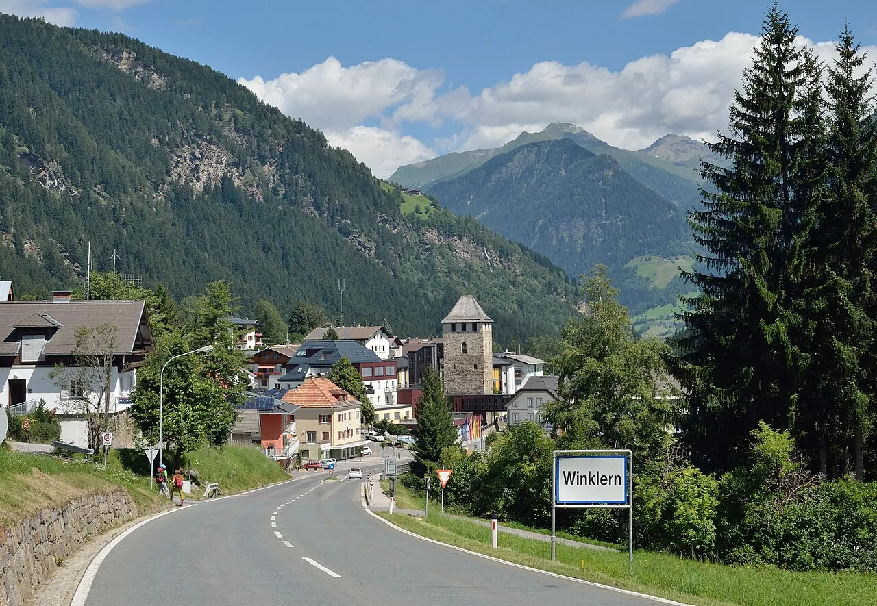
- Elevation
- 2,605 m
- above sea level
- Local time
- UTC+01:00
- Europe/Vienna · UTC+01:00
- Airports
- SZG Salzburg Airport92 km
- KLU Klagenfurt Airport112 km
About Mohar
Mohar is a mountain. Location: Großkirchheim, Spittal an der Drau District. Elevation: 2,605 m. The nearest airport is Salzburg Airport (92 km). Nearby sights include Hilmersberg and Asten Tal.
Photos of Mohar
-

Naturpuur · CC BY 4.0 -

Astenhardy · CC0 -

Astenhardy · CC0 -

Aat van den Heuvel · CC BY 3.0 -

Aat van den Heuvel · CC BY 3.0


Climate of Mohar
This month · November
A wet month
Day -3° · Night -11° · Rain 104 mm
- Hottest month
- July (day 10°)
- Coldest month
- January (night -15°)
- Wettest month
- July (165 mm)
- Driest month
- February (62 mm)
Bars: average monthly low and high temperature. Below: precipitation. Monthly averages for 1970–2000 at about 18 km resolution, adjusted for elevation. Highlighted months are mild and relatively dry. Source: WorldClim 2.1 (CC BY 4.0).
Show values as a table
| Month | Jan | Feb | Mar | Apr | May | Jun | Jul | Aug | Sep | Oct | Nov | Dec |
|---|---|---|---|---|---|---|---|---|---|---|---|---|
| Average high (°C) | -7° | -6° | -4° | 0° | 5° | 8° | 10° | 10° | 7° | 3° | -3° | -7° |
| Average low (°C) | -15° | -14° | -12° | -9° | -5° | -1° | 1° | 1° | -2° | -6° | -11° | -14° |
| Precipitation (mm) | 66 | 62 | 83 | 100 | 121 | 152 | 165 | 150 | 121 | 109 | 104 | 80 |
How to get to Mohar
The nearest airport is Salzburg Airport (SZG), 92 km to the north as the crow flies. The nearest large city is Salzburg, 93 km to the north.
Airports
- Salzburg Airport (SZG) Salzburg 92 kmnorth
- Klagenfurt Airport (KLU) Klagenfurt am Wörthersee 112 kmeast
- Innsbruck Airport (INN) Innsbruck 126 kmwest
Nearby large cities
- Salzburg Population: 157.2K 93 kmnorth
- Klagenfurt Population: 100.3K 111 kmeast
- Innsbruck Population: 132.5K 122 kmwest
- Munich Population: 1.5M 166 kmnorthwest
- Linz Population: 204.8K 180 kmnortheast
Straight-line distances; road distances are longer. Airport data: OurAirports.
Day trips from Mohar
Within 100 km: 199 historic and cultural sites, 4,009 natural sites, 912 lakes, rivers and coasts.
0–25 km453 places
- Vorderer Langtalsee Lake 13 kmW
- Brettersee Lake 15 kmNW
- Sandersee Lake 19 kmNW
- Kachelsee Lake 13 kmNW
25–60 km1,771 places
- Sille River 44 kmSW
- Fürlegsee Lake 31 kmNW
- Eissee Lake 44 kmW
- Brandlsee Lake 32 kmNW
60–100 km2,896 places
- Hoher Dachstein Mountain 75 kmNE
- Seeriessee Lake 74 kmNE
- Untersee Lake 65 kmNE
- Wildsee Lake 63 kmNE
Straight-line distances.
Nearest towns and villages
-
Sagritz Village, Großkirchheim2.8 km W
-
Döllach Village, Großkirchheim3.6 km W
-
Zirknitz Village, Großkirchheim2.9 km NW
-
Mitteldorf Village, Großkirchheim3.6 km W
-
Göritz Village, Großkirchheim3.6 km W
-
Winklsagritz Village, Großkirchheim4.3 km W
Nearby attractions & nature
Everything nearby-
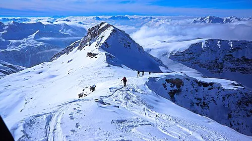 Hilmersberg Mountain, Großkirchheim1.6 km N
-
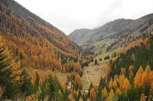 Asten Tal Natural site, Carinthia1.9 km S
-
Zirknitz Tal Natural site, Carinthia3.1 km NW
-
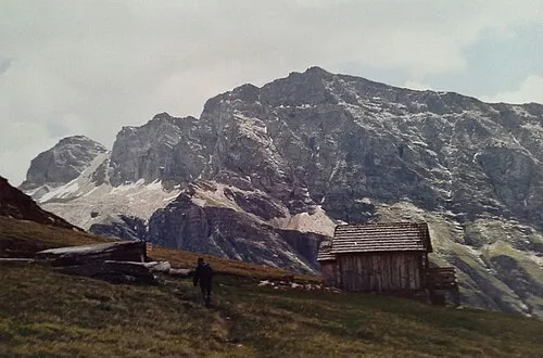 Stellkopf Mountain, Großkirchheim4.3 km NE
-
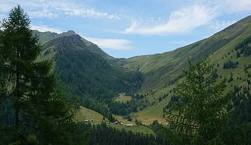 Schobertörl Mountain, Flattach4 km E
-
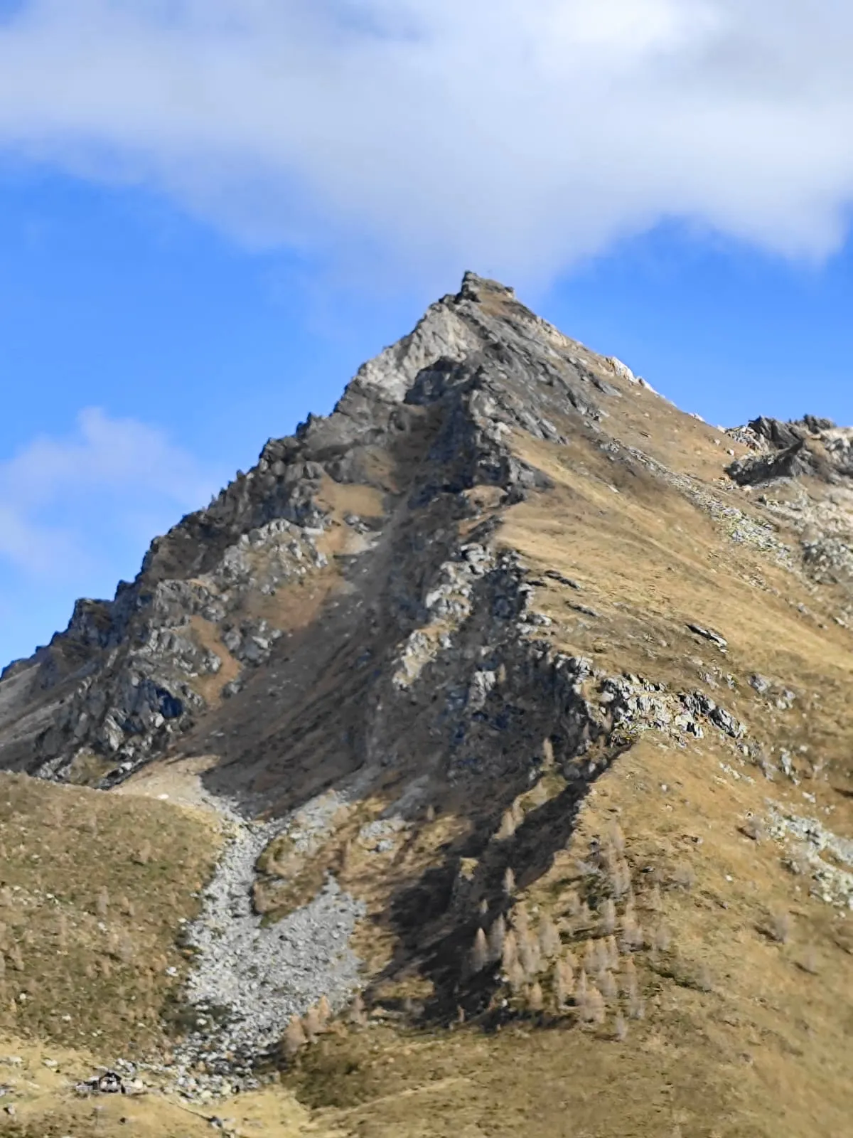 Makernispitze Mountain, Flattach4 km E
-
Rote Wand Mountain, Mörtschach3.2 km NE
-
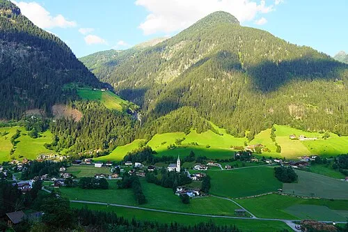 Goaschnigkogel Mountain, Mörtschach4.3 km S
More nature in Austria
-
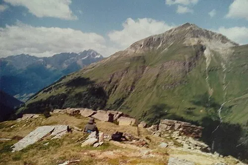 Stanziwurten Mountain, Großkirchheim5.4 km N
-
Kreuzspitze Mountain, Großkirchheim7.7 km W
-
Graskopf Mountain, Großkirchheim8.6 km W
-
Eckkopf Mountain, Großkirchheim5.9 km N
-
Kreuzkopf Mountain, Großkirchheim12 km W
-
Sandkopf Mountain, Großkirchheim7.7 km N
Sources & licences
Data last updated: · 2 independent sources