Stellkopf
Located in Großkirchheim, Spittal an der Drau District Coordinates: 46°59′27″ N 12°59′36″ E
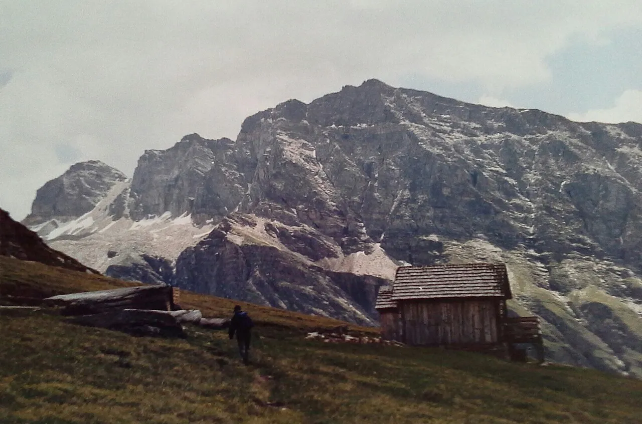
- Elevation
- 2,852 m
- above sea level
- Local time
- UTC+01:00
- Europe/Vienna · UTC+01:00
- Airports
- SZG Salzburg Airport89 km
- KLU Klagenfurt Airport110 km
About Stellkopf
Stellkopf is a mountain. Location: Großkirchheim, Spittal an der Drau District. Elevation: 2,852 m. The nearest airport is Salzburg Airport (89 km). Nearby sights include Rote Wand and Schobertörl.
Photos of Stellkopf
-
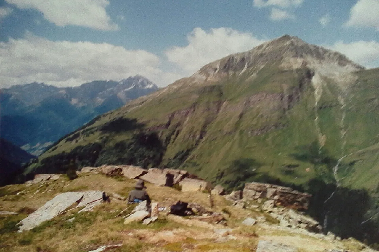
Stanziwurten F. Peter Müller · CC BY-SA 4.0 -
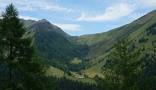
Schobertörl Naturpuur · CC BY 4.0 -
Mohar Herzi Pinki · CC BY-SA 4.0 -
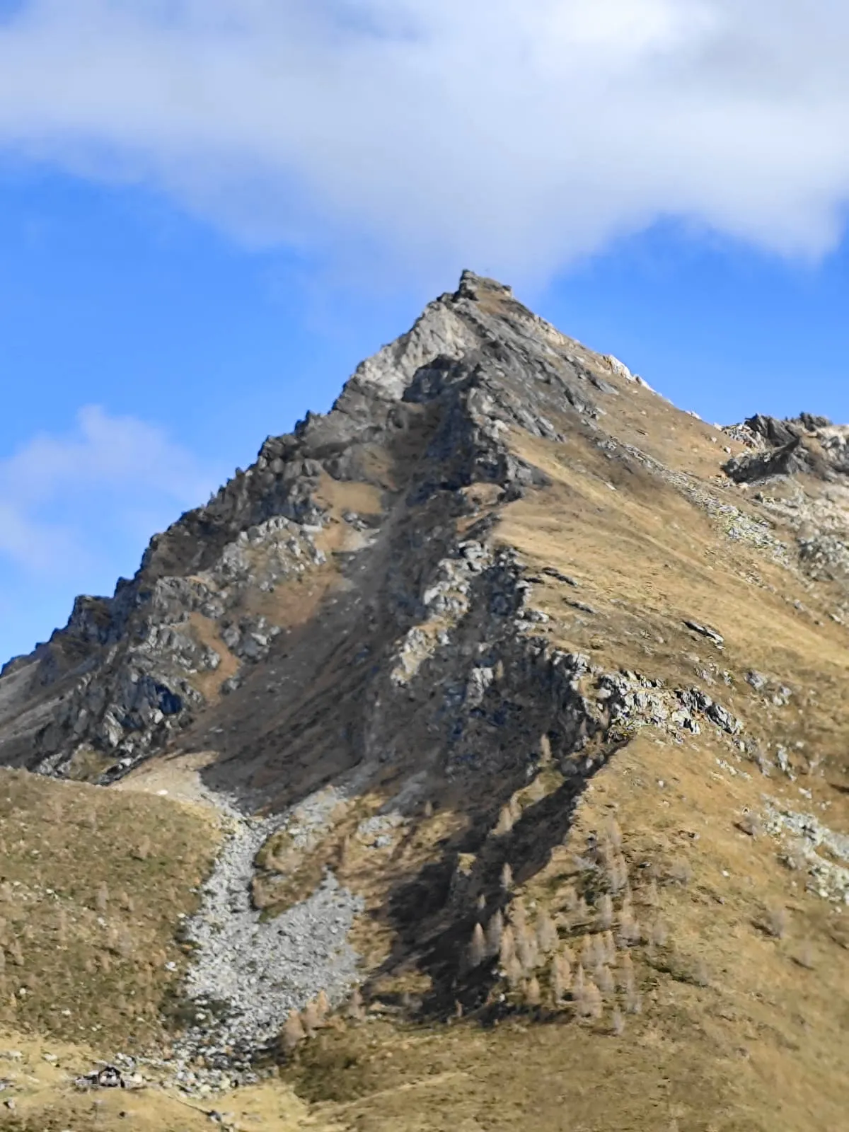
Makernispitze Naturpuur · CC BY-SA 4.0 -
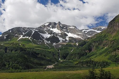
Hoher Sonnblick Tigerente · CC BY 4.0


Climate of Stellkopf
This month · November
A wet month
Day -5° · Night -12° · Rain 104 mm
- Hottest month
- July (day 9°)
- Coldest month
- January (night -16°)
- Wettest month
- July (165 mm)
- Driest month
- February (62 mm)
Bars: average monthly low and high temperature. Below: precipitation. Monthly averages for 1970–2000 at about 18 km resolution, adjusted for elevation. Highlighted months are mild and relatively dry. Source: WorldClim 2.1 (CC BY 4.0).
Show values as a table
| Month | Jan | Feb | Mar | Apr | May | Jun | Jul | Aug | Sep | Oct | Nov | Dec |
|---|---|---|---|---|---|---|---|---|---|---|---|---|
| Average high (°C) | -9° | -8° | -5° | -2° | 3° | 6° | 9° | 9° | 5° | 1° | -5° | -8° |
| Average low (°C) | -16° | -16° | -14° | -11° | -6° | -3° | -1° | -1° | -4° | -7° | -12° | -15° |
| Precipitation (mm) | 66 | 62 | 83 | 100 | 121 | 152 | 165 | 150 | 121 | 109 | 104 | 80 |
How to get to Stellkopf
The nearest airport is Salzburg Airport (SZG), 89 km to the north as the crow flies. The nearest large city is Salzburg, 90 km to the north.
Airports
- Salzburg Airport (SZG) Salzburg 89 kmnorth
- Klagenfurt Airport (KLU) Klagenfurt am Wörthersee 110 kmeast
- Innsbruck Airport (INN) Innsbruck 129 kmwest
Nearby large cities
- Salzburg Population: 157.2K 90 kmnorth
- Klagenfurt Population: 100.3K 108 kmeast
- Innsbruck Population: 132.5K 125 kmwest
- Ljubljana Population: 272.2K 156 kmsoutheast
- Munich Population: 1.5M 166 kmnorthwest
Straight-line distances; road distances are longer. Airport data: OurAirports.
Day trips from Stellkopf
Within 100 km: 205 historic and cultural sites, 4,039 natural sites, 939 lakes, rivers and coasts.
0–25 km435 places
- Vorderer Langtalsee Lake 16 kmW
- Brettersee Lake 16 kmNW
- Sandersee Lake 20 kmNW
- Kachelsee Lake 15 kmNW
25–60 km1,822 places
- Sille River 49 kmSW
- Fürlegsee Lake 33 kmNW
- Wildsee Lake 59 kmNE
- Eissee Lake 47 kmW
60–100 km2,926 places
- Hoher Dachstein Mountain 71 kmNE
- Triglav Mountain 94 kmSE
- Rjavina Mountain 95 kmSE
- Prestreljenik Mountain 79 kmSE
Straight-line distances.
Nearest towns and villages
Nearby attractions & nature
Everything nearby-
Rote Wand Mountain, Mörtschach1.1 km SW
-
Schobertörl Mountain, Flattach2.7 km S
-
Makernispitze Mountain, Flattach2.7 km S
-
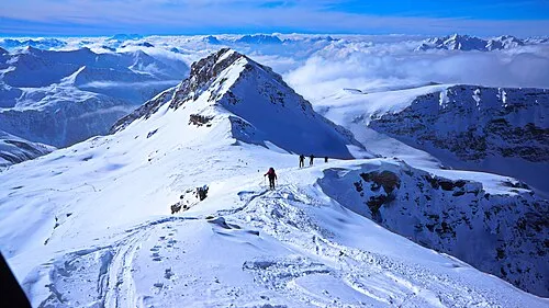 Hilmersberg Mountain, Großkirchheim3.4 km W
-
Weissseekopf Mountain, Flattach2.9 km N
-
Mohar Mountain, Großkirchheim4.3 km SW
-
Schwarzsee Lake, Carinthia2 km NE
-
Weisssee Lake, Flattach2.8 km NE
More nature in Austria
-
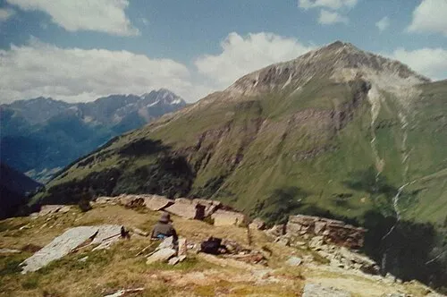 Stanziwurten Mountain, Großkirchheim5.4 km NW
-
Eckkopf Mountain, Großkirchheim3.6 km NW
-
Alteck Mountain, Großkirchheim5 km N
-
Sandkopf Mountain, Großkirchheim7.1 km NW
-
Kreuzspitze Mountain, Großkirchheim12 km SW
-
Graskopf Mountain, Großkirchheim12 km W
Sources & licences
Data last updated: · 2 independent sources