Sandkopf
Located in Großkirchheim, Spittal an der Drau District Coordinates: 47°02′14″ N 12°55′48″ E
- Elevation
- 3,090 m
- above sea level
- Local time
- UTC+01:00
- Europe/Vienna · UTC+01:00
- Airports
- SZG Salzburg Airport84 km
- KLU Klagenfurt Airport116 km
About Sandkopf
Sandkopf is a mountain. Location: Großkirchheim, Spittal an der Drau District. Elevation: 3,090 m. The nearest airport is Salzburg Airport (84 km). Nearby sights include Roter Mann and Stanziwurten.
Photos of Sandkopf
-
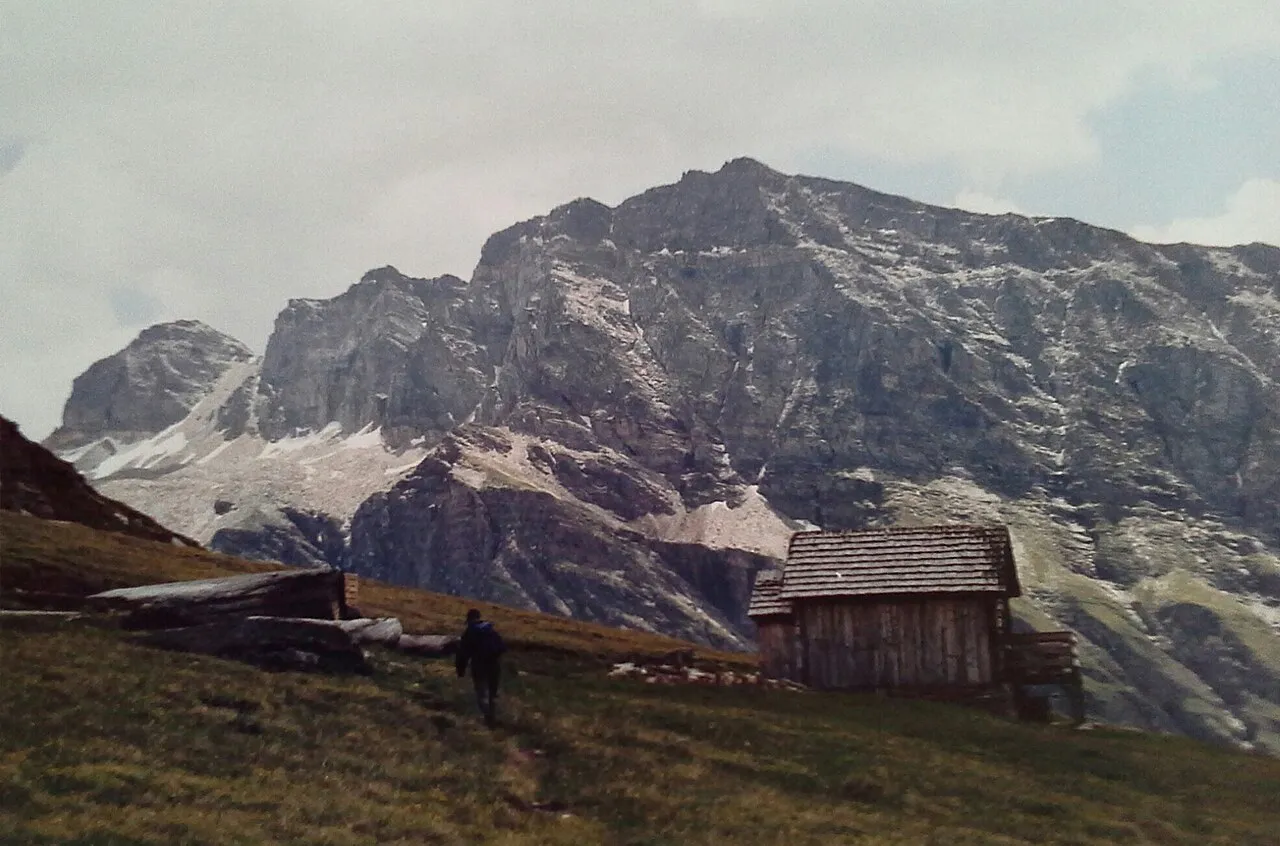
Stellkopf F. Peter Müller · CC BY-SA 4.0 -
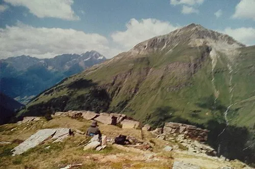
Stanziwurten F. Peter Müller · CC BY-SA 4.0 -
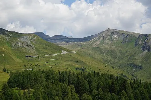
Schareck PantheraLeo1359531 · CC BY-SA 4.0 -
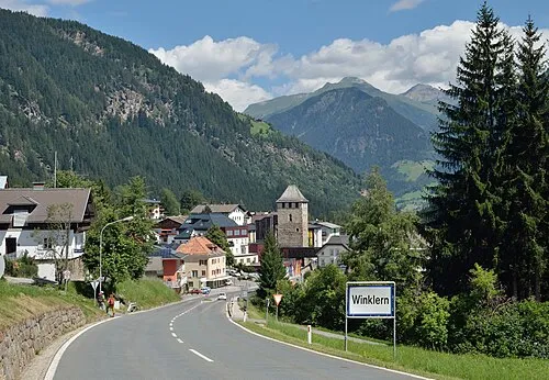
Mohar Herzi Pinki · CC BY-SA 4.0 -
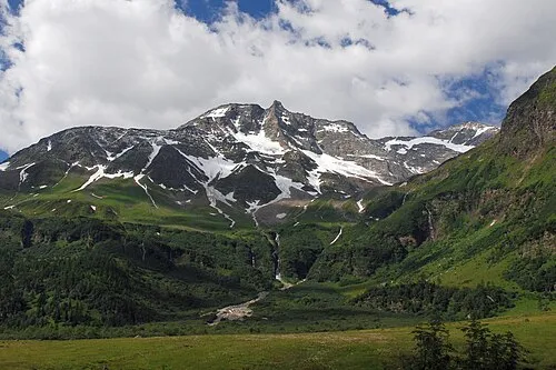
Hoher Sonnblick Tigerente · CC BY 4.0


Climate of Sandkopf
This month · November
A wet month
Day -7° · Night -13° · Rain 120 mm
- Hottest month
- July (day 6°)
- Coldest month
- February (night -17°)
- Wettest month
- July (179 mm)
- Driest month
- February (79 mm)
Bars: average monthly low and high temperature. Below: precipitation. Monthly averages for 1970–2000 at about 18 km resolution, adjusted for elevation. Highlighted months are mild and relatively dry. Source: WorldClim 2.1 (CC BY 4.0).
Show values as a table
| Month | Jan | Feb | Mar | Apr | May | Jun | Jul | Aug | Sep | Oct | Nov | Dec |
|---|---|---|---|---|---|---|---|---|---|---|---|---|
| Average high (°C) | -10° | -10° | -8° | -5° | 0° | 4° | 6° | 6° | 3° | -1° | -7° | -9° |
| Average low (°C) | -17° | -17° | -15° | -12° | -7° | -4° | -2° | -2° | -5° | -8° | -13° | -15° |
| Precipitation (mm) | 85 | 79 | 107 | 120 | 135 | 163 | 179 | 162 | 128 | 114 | 120 | 102 |
How to get to Sandkopf
The nearest airport is Salzburg Airport (SZG), 84 km to the north as the crow flies. The nearest large city is Salzburg, 85 km to the north.
Airports
- Salzburg Airport (SZG) Salzburg 84 kmnorth
- Klagenfurt Airport (KLU) Klagenfurt am Wörthersee 116 kmeast
- Innsbruck Airport (INN) Innsbruck 123 kmwest
Nearby large cities
- Salzburg Population: 157.2K 85 kmnorth
- Klagenfurt Population: 100.3K 115 kmsoutheast
- Innsbruck Population: 132.5K 119 kmwest
- Munich Population: 1.5M 159 kmnorthwest
- Ljubljana Population: 272.2K 163 kmsoutheast
Straight-line distances; road distances are longer. Airport data: OurAirports.
Day trips from Sandkopf
Within 100 km: 208 historic and cultural sites, 4,085 natural sites, 965 lakes, rivers and coasts.
0–25 km568 places
- Vorderer Langtalsee Lake 12 kmW
- Brechlsee Lake 21 kmNW
- Oberer Kleineisersee Lake 24 kmNW
- Unterer Kleineisersee Lake 24 kmNW
25–60 km1,787 places
- Sille River 47 kmSW
- Fürlegsee Lake 26 kmNW
- Eissee Lake 42 kmW
- Brandlsee Lake 25 kmNW
60–100 km2,903 places
- Hoher Dachstein Mountain 71 kmNE
- Herreninsel Island 100 kmNW
- Prestreljenik Mountain 86 kmSE
- Vršič Mountain 92 kmSE
Straight-line distances.
Nearest towns and villages
-
Apriach Village, Heiligenblut4.2 km SW
-
Schachnern Village, Heiligenblut4.2 km SW
-
Mitten Village, Großkirchheim5.7 km SW
-
Rojach Village, Heiligenblut5.3 km SW
-
Heiligenblut am Großglockner Village, Heiligenblut6.6 km W
-
Zirknitz Village, Großkirchheim6.2 km S
Nearby attractions & nature
Everything nearby-
Roter Mann Mountain, Heiligenblut0.6 km NE
-
Stanziwurten Mountain, Großkirchheim2.3 km S
-
Hoher Sonnblick Mountain, Rauris2.8 km NE
-
Goldbergspitze Mountain, Heiligenblut2.2 km NE
-
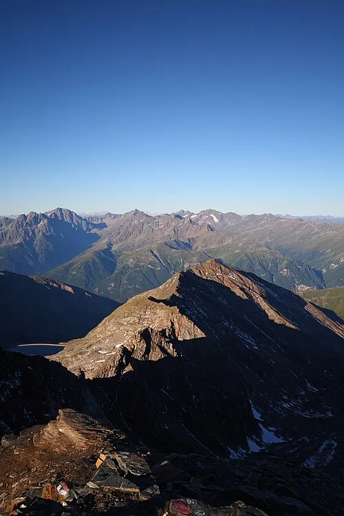 Gjaidtroghöhe Mountain, Heiligenblut3.2 km NW
-
Brettsee Lake, Großkirchheim2 km E
-
Pilatusscharte Mountain, Heiligenblut2.6 km NE
-
Goldzechkopf Mountain, Rauris2.6 km N
More nature in Austria
Sources & licences
Data last updated: