Flattach
Located in Spittal an der Drau District, Carinthia Coordinates: 46°58′03″ N 13°03′42″ E
- Population
- 1,183
- 1.2K
- Elevation
- 1,416 m
- above sea level
- Local time
- UTC+01:00
- Europe/Vienna · UTC+01:00
- Places inside
- 23
- listed under Flattach
About Flattach
Flattach is a municipality. Location: Spittal an der Drau District, Carinthia. Population: 1,183. Elevation: 1,416 m.
In comparison
- No. 26 of 33 places in Spittal an der Drau District by population
- Nearest larger town: Stall, 9 km S
- 59 sights and natural places within 10 km Wurtenbach, Schoberbach
- Listed here: Mountain: 10, Village: 9, Lake: 3, Natural site: 1
Places in Flattach
23 places-
Flattach Village396
-
Außerfragant Village283
-
Kleindorf Village133
-
Flattachberg Village98
-
Laas Village91
-
Schmelzhütten Village88
-
Innerfragant Village47
-
Waben Village35
-
Grafenberg Village29
-
Feldsee Lake
-
Feldseekopf Mountain
-
Grosssee Lake
-
Makernispitze Mountain
-
Mittagsspitze Mountain
-
Schareck Mountain
-
Schobertörl Mountain
-
Schwanspitze Mountain
-
Stellenkopf Mountain
-
Vorderer Gesselkopf Mountain
-
Weisssee Lake
-
Weissseekopf Mountain
-
Wurtenkees Natural site
-
Zeneberg Mountain
Nearby attractions & nature
Everything nearby-
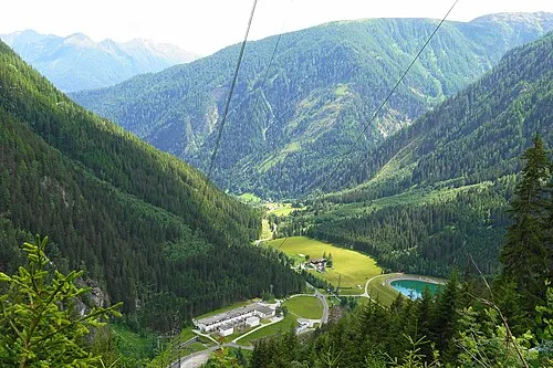 Fragant Tal Natural site, Carinthia0.8 km SE
-
Wurtenbach River, Carinthia0.4 km E
-
Schoberbach River, Carinthia0.5 km SW
-
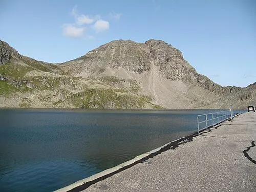 Böseck Mountain, Mallnitz3.6 km NE
-
Kleiner Oschenik See Lake, Carinthia2.4 km NE
-
Astromspitze Mountain, Mallnitz4 km NE
-
Grosser Oschenik See Lake, Carinthia2.9 km NE
-
Goldberggruppe Mountain, Austria4 km NE
Sources & licences
Data last updated: