Stall
Located in Spittal an der Drau District, Carinthia Coordinates: 46°53′29″ N 13°02′23″ E
- Population
- 1,570
- 1.6K
- Elevation
- 946 m
- above sea level
- Local time
- UTC+01:00
- Europe/Vienna · UTC+01:00
- Places inside
- 21
- listed under Stall
About Stall
Stall is a municipality. Location: Spittal an der Drau District, Carinthia. Population: 1,570. Elevation: 946 m.
In comparison
- No. 20 of 33 places in Spittal an der Drau District by population
- Nearest larger town: Rangersdorf, 7 km SW
- 42 sights and natural places within 10 km Wölla Bach, Törlkopf
- Listed here: Village: 14, Mountain: 7
Places in Stall
21 places-
Stall Village505
-
Latzendorf Village170
-
Sonnberg Village126
-
Rakowitzen Village125
-
Schwersberg Village75
-
Wöllatratten Village48
-
Stiefelberg Village34
-
Sagas Village20
-
Gössnitz Village
-
Grischnig Village
-
Gussnigberg Village
-
Hochkreuz Mountain
-
Klenitzen Mountain
-
Kreuzeck Mountain
-
Mellenkopf Mountain
-
Möllkopf Mountain
-
Obere Steinwand Village
-
Pusstratten Village
-
Ruckenkopf Mountain
-
Törlkopf Mountain
-
Untere Steinwand Village
Nearby attractions & nature
Everything nearby-
Wölla Tal Natural site, Carinthia2.9 km SE
-
Wölla Bach River, Carinthia2.1 km NE
-
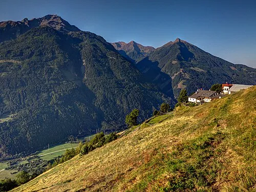 Strieden Mountain, Obervellach5 km E
-
Gössnitzersee Lake, Carinthia3.5 km NE
-
Striedenkopf Mountain, Obervellach6.1 km SE
-
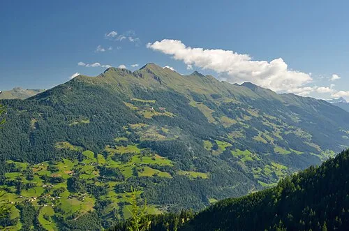 Zellinkopf Mountain, Mörtschach6.7 km W
-
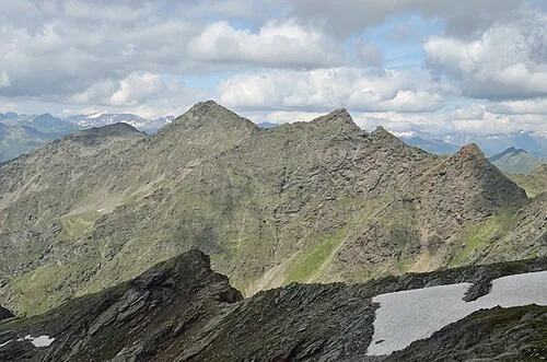 Grosser Griedlkopf Mountain, Rangersdorf6.2 km S
-
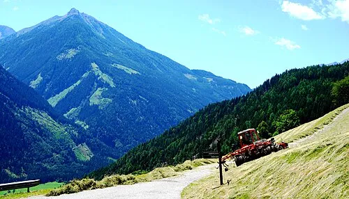 Mittagsspitze Mountain, Flattach5.6 km E
Sources & licences
Data last updated: