Radenthein
Located in Spittal an der Drau District, Carinthia Coordinates: 46°50′07″ N 13°42′11″ E
- Population
- 5,879
- 5.9K
- Elevation
- 1,401 m
- above sea level
- Local time
- UTC+01:00
- Europe/Vienna · UTC+01:00
- Places inside
- 25
- listed under Radenthein
About Radenthein
Radenthein is a municipality. Location: Spittal an der Drau District, Carinthia. Population: 5,879. Elevation: 1,401 m.
In comparison
- No. 3 of 33 places in Spittal an der Drau District by population
- Nearest larger town: Seeboden, 14 km W
- 41 sights and natural places within 10 km Globatschbach, Lang Alpen Tal
- Listed here: Village: 18, Mountain: 7
Places in Radenthein
25 places-
Radenthein Village1.8K
-
Döbriach Village1.3K
-
Untertweng Village721
-
Kaning Village520
-
Sankt Peter in Tweng Village366
-
Erdmannsiedlung Village307
-
Starfach Village162
-
Dabor Village137
-
Hohensass Village99
-
Laufenberg Village84
-
Obertweng Village80
-
Schrott Village74
-
Zödl Village65
-
Frischg Village47
-
Ebene Village24
-
Mitterberg Village14
-
Gridelegg Mountain
-
Pfann Nock Mountain
-
Plattnock Mountain
-
Rosennock Mountain
-
Saunock Mountain
-
Schwarzwald Village
-
Schwarzwaldkogel Mountain
-
Seefischer Village
-
Spitzegg Mountain
Nearby attractions & nature
Everything nearby-
Globatschbach River, Carinthia0.3 km SW
-
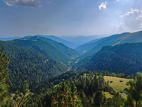 Lang Alpen Tal Natural site, Carinthia1.1 km E
-
Rossbach River, Carinthia1.6 km S
-
Wiesernock Mountain, Bad Kleinkirchheim3.1 km E
-
Priedröf Mountain, Bad Kleinkirchheim3.5 km SE
-
Langennock Mountain, Krems4.5 km NW
-
Koflachgraben Natural site, Carinthia3.5 km N
-
Kanningbach River, Carinthia4 km S
Sources & licences
Data last updated: