Hochvogel
Located in Austria Coordinates: 47°22′50″ N 10°26′12″ E
- Elevation
- 2,592 m
- above sea level
- Local time
- UTC+01:00
- Europe/Vienna · UTC+01:00
About Hochvogel
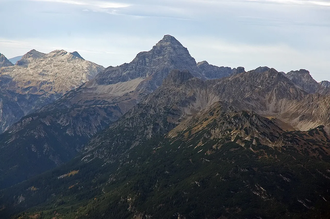
Hochvogel is a mountain. Location: Austria. Elevation: 2,592 m.
The Hochvogel is a 2,592-metre-high (8,504 ft) mountain in the Allgäu Alps. The national border between Germany and Austria runs over the summit. Although only the thirteenth highest summit in the Allgäu Alps, the Hochvogel dominates other parts of Allgäu Alps and the other ranges in the immediate neighbourhood. This is because the majority of the higher peaks are concentrated in the central and western part of the Allgäu Alps.
Read more on Wikipedia Text: Wikipedia contributors · CC BY-SA 4.0 · shortened
At a glance
- Topographic prominence
- 572 m
Source: Wikidata
In comparison
- No. 1096 of 7537 mountains in Austria by elevation
- 154 sights and natural places within 10 km Kreuzspitze, Kreuzkopf
Nearest towns and villages
-
Hinterhornbach Municipality, Politischer Bezirk Reutte2.9 km SE
-
Hinterhornbach Village, Hinterhornbach3 km SE
-
Vorderhornbach Municipality, Politischer Bezirk Reutte5.9 km E
-
Weißenbach am Lech Municipality, Politischer Bezirk Reutte9 km NE
-
Elmen Municipality, Politischer Bezirk Reutte8.7 km SE
-
Elbigenalp Municipality, Politischer Bezirk Reutte9.6 km S
Nearby attractions & nature
Everything nearby-
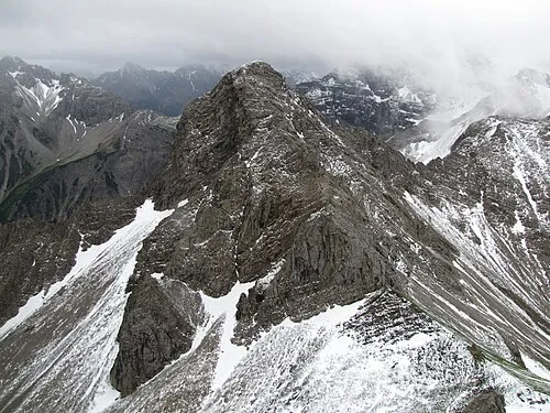 Kesselspitze Mountain, Bad Hindelang, M2.2 km N
-
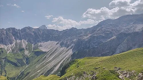 Vorderer Wilder Mountain, Austria2.6 km NW
-
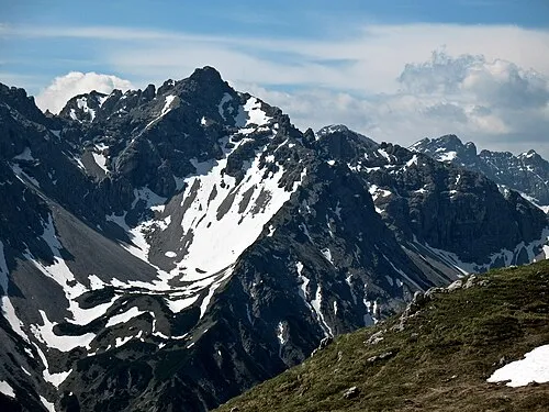 Großer Rosszahn Mountain, Weißenbach am Lech2.8 km NE
-
Kreuzspitze Mountain, Hinterhornbach0.6 km NW
-
Glasfelderkopf Mountain, Austria2.2 km N
-
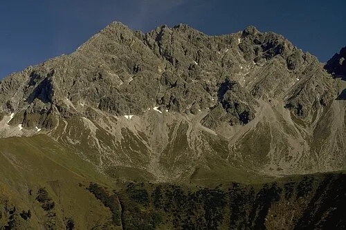 Großer Wilder Mountain, Oberstdorf, Markt3.8 km W
-
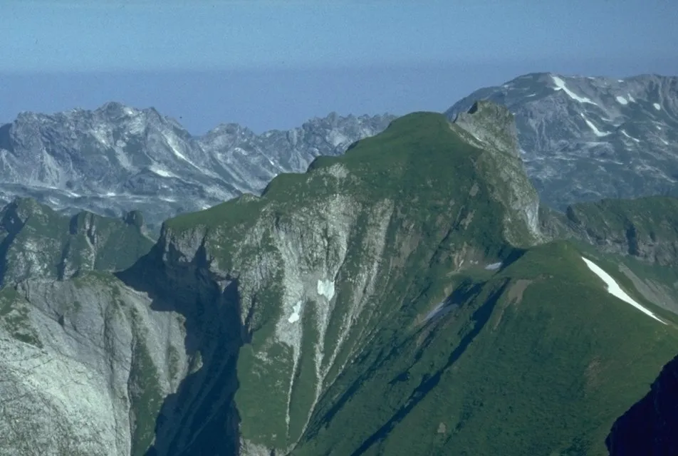 Himmeleck Mountain, Oberstdorf, Markt4 km W
-
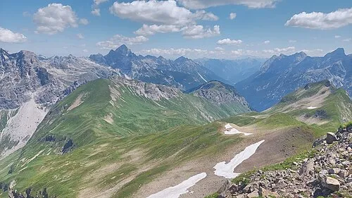 Kanzberg Mountain, Hinterhornbach3.7 km SW
Sources & licences
Data last updated: · 2 independent sources