Großer Wilder
Located in Oberstdorf, Markt, Landkreis Oberallgäu Coordinates: 47°22′13″ N 10°23′20″ E
- Elevation
- 2,379 m
- above sea level
- Local time
- UTC+01:00
- Europe/Berlin · UTC+01:00
- Airports
- ACH Sankt Gallen Altenrhein Airport64 km
- FMM Memmingen Allgau Airport70 km
About Großer Wilder
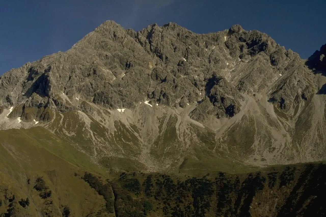
Großer Wilder is a mountain. Location: Oberstdorf, Markt, Landkreis Oberallgäu. Elevation: 2,379 m.
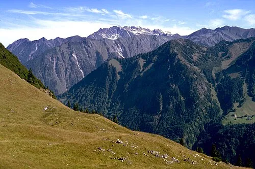
Großer Wilder is a mountain of Bavaria, Germany. The Große Wilde is a mountain in the Allgäu Alps. It has a southern peak (also called Hinterer Wilder) (2359 m), a middle peak (2379 m) and a northern peak (2370.4 m). To the west, the Große Wilde falls down to the Wildenfeld as an impressive rock wall. The summit was climbed by locals from an early age and even the easiest ascent requires climbing skills and experience in pathless scree terrain.
Source: Wikipedia · CC BY-SA 4.0
Photos of Großer Wilder
-

DXR · CC BY-SA 4.0 -

Dguendel · CC BY 4.0 -

Kauk0r · CC BY-SA 3.0 -

Franzfoto · CC BY-SA 3.0 -

Clemens Pohl · CC BY-SA 3.0


Climate of Großer Wilder
This month · November
A wet month
Day -2° · Night -9° · Rain 102 mm
- Hottest month
- July (day 11°)
- Coldest month
- January (night -13°)
- Wettest month
- July (173 mm)
- Driest month
- February (87 mm)
Bars: average monthly low and high temperature. Below: precipitation. Monthly averages for 1970–2000 at about 18 km resolution, adjusted for elevation. Highlighted months are mild and relatively dry. Source: WorldClim 2.1 (CC BY 4.0).
Show values as a table
| Month | Jan | Feb | Mar | Apr | May | Jun | Jul | Aug | Sep | Oct | Nov | Dec |
|---|---|---|---|---|---|---|---|---|---|---|---|---|
| Average high (°C) | -6° | -5° | -3° | 0° | 6° | 9° | 11° | 11° | 8° | 4° | -2° | -5° |
| Average low (°C) | -13° | -13° | -10° | -7° | -3° | 0° | 2° | 3° | 0° | -4° | -9° | -11° |
| Precipitation (mm) | 89 | 87 | 96 | 103 | 122 | 160 | 173 | 159 | 113 | 89 | 102 | 99 |
How to get to Großer Wilder
The nearest airport is Sankt Gallen Altenrhein Airport (ACH), 64 km to the west as the crow flies. For international flights: Memmingen Allgau Airport (FMM) (70 km). The nearest large city is Innsbruck, 77 km to the east.
Airports
- Sankt Gallen Altenrhein Airport (ACH) St. Gallen 64 kmwest
- Memmingen Allgau Airport (FMM) Memmingen 70 kmnorth
- Innsbruck Airport (INN) Innsbruck 73 kmeast
Nearby large cities
- Innsbruck Population: 132.5K 77 kmeast
- Augsburg Population: 301.1K 118 kmnorth
- Ulm Population: 120.5K 118 kmnorth
- Munich Population: 1.5M 123 kmnortheast
- Winterthur Population: 111.8K 126 kmwest
Straight-line distances; road distances are longer. Airport data: OurAirports.
Day trips from Großer Wilder
Within 100 km: 385 historic and cultural sites, 5,377 natural sites, 1,239 lakes, rivers and coasts.
0–25 km699 places
- Vordersee Lake 23 kmS
- Vilsalpsee Lake 14 kmNE
- Traualpsee Lake 13 kmNE
- Rosskarsee Lake 17 kmSE
25–60 km2,500 places
- Weiher Diepoldsau Lake 54 kmW
- Alter Rhein Lake 56 kmW
- Nollen Lake 55 kmW
- Lai da Fasch'Alba Lake 58 kmS
60–100 km3,802 places
- Bayerisches Oberland Mountain 80 kmNE
- Mainau Island 97 kmNW
- Schloss Hirschberg am Haarsee Historic site 79 kmNE
- Dominikanerinsel Konstanz Island 97 kmW
Straight-line distances.
Nearest towns and villages
-
 Oberstdorf Town, Oberstdorf, Markt9.2 km NW
-
Hinterhornbach Municipality, Politischer Bezirk Reutte5.6 km E
-
Hinterhornbach Village, Hinterhornbach5.6 km E
-
 Gerstruben Village, Oberstdorf, Markt5.7 km W
-
Elbigenalp Municipality, Politischer Bezirk Reutte8.4 km S
-
Dietersberg Village, Oberstdorf, Markt6.6 km W
Nearby attractions & nature
Everything nearby-
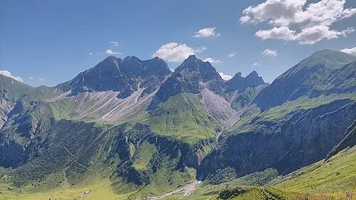 Kleiner Wilder Mountain, Oberstdorf, Markt0.8 km S
-
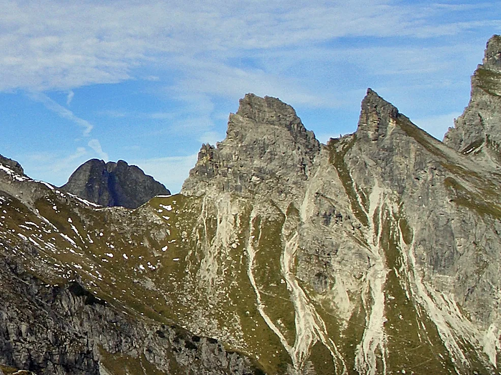 Nördl.Höllhorn Mountain, Oberstdorf, Markt1.2 km S
-
Hinterer Wilder Mountain, Oberstdorf, Markt0.3 km S
-
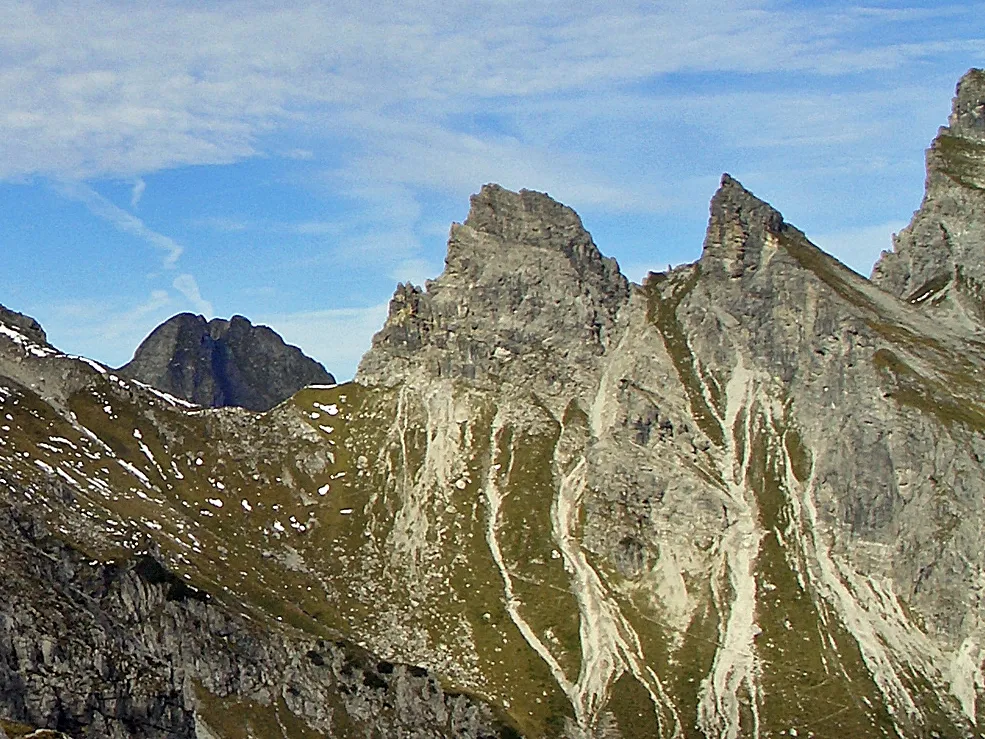 Südl.Höllhorn Mountain, Oberstdorf, Markt1.3 km S
-
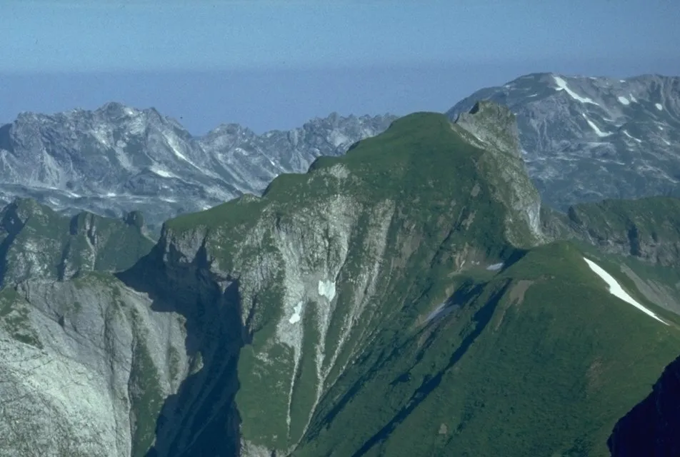 Himmeleck Mountain, Oberstdorf, Markt1.4 km N
-
Jochgern Mountain, Oberstdorf, Markt1.8 km SW
-
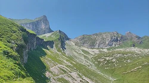 Rotkopf Mountain, Oberstdorf, Markt2.4 km N
-
Stuibenfall Natural site, Bavaria1.5 km W
More nature in Germany
-
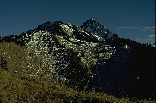 Hüttenkopf Mountain, Oberstdorf, Markt4.1 km W
-
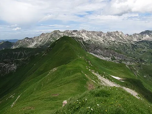 Kleiner Seekopf Mountain, Oberstdorf, Markt4.2 km NW
-
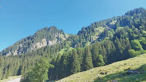 Wannenkopf Mountain, Oberstdorf, Markt4.9 km W
-
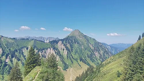 Kegelkopf Mountain, Oberstdorf, Markt5 km W
-
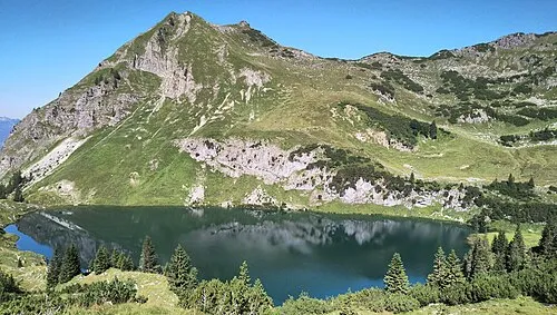 Seeköpfl Mountain, Oberstdorf, Markt5.5 km NW
-
 Riffenkopf Mountain, Oberstdorf, Markt5.5 km W
Sources & licences
Data last updated: · 2 independent sources