Droß
Located in Politischer Bezirk Krems, Lower Austria Coordinates: 48°28′22″ N 15°33′22″ E
- Population
- 979
- 979
- Elevation
- 411 m
- above sea level
- Local time
- UTC+01:00
- Europe/Vienna · UTC+01:00
- Places inside
- 2
- listed under Droß
About Droß
Droß is a municipality. Location: Politischer Bezirk Krems, Lower Austria. Population: 979. Elevation: 411 m.
In comparison
- No. 25 of 30 places in Politischer Bezirk Krems by population
- Nearest larger town: Senftenberg, 2 km S
- 11 sights and natural places within 10 km Waxenberg, Dachsberg
- Listed here: Village: 2
Places in Droß
2 places-
Droß Village959
-
Drosseramt Village
Nearby attractions & nature
Everything nearby-
Waxenberg Mountain, Senftenberg4.3 km W
-
Dachsberg Mountain, Langenlois4.4 km NE
-
Saubügel Mountain, Rohrendorf bei Krems8.2 km SE
-
Reith Berg Mountain, Langenlois7.6 km NE
-
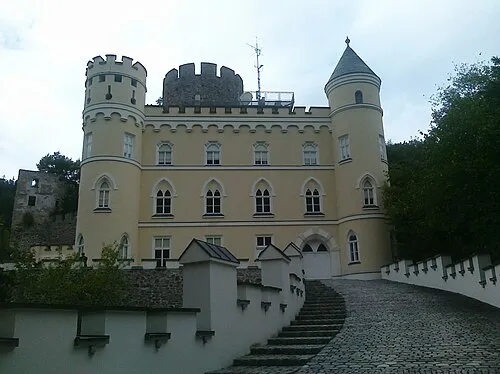 Hartenstein Historic site, Albrechtsberg an der Großen Krems12 km W
-
Krems River, Lower Austria7 km SE
-
Loisbach River, Lower Austria7 km E
-
Weitenberg Mountain, Weißenkirchen in der Wachau8.2 km SW
Sources & licences
Data last updated: