Dunkelsteinerwald
Located in Politischer Bezirk Melk, Lower Austria Coordinates: 48°16′03″ N 15°27′15″ E
- Population
- 2,383
- 2.4K
- Elevation
- 445 m
- above sea level
- Local time
- UTC+01:00
- Europe/Vienna · UTC+01:00
- Places inside
- 36
- listed under Dunkelsteinerwald
About Dunkelsteinerwald
Dunkelsteinerwald is a municipality. Location: Politischer Bezirk Melk, Lower Austria. Population: 2,383. Elevation: 445 m.
In comparison
- No. 10 of 40 places in Politischer Bezirk Melk by population
- Nearest larger town: Loosdorf, 8 km SW
- 11 sights and natural places within 10 km Dunkelsteiner Wald, Hohenegg
- Listed here: Village: 36
Places in Dunkelsteinerwald
36 places-
Mauer bei Melk Village574
-
Gansbach Village501
-
Gerolding Village246
-
Häusling Village98
-
Himberg Village95
-
Kochholz Village91
-
Neuhofen Village91
-
Ursprung Village66
-
Kicking Village63
-
Thal Village58
-
Neu-Gerolding Village57
-
Besenbuch Village48
-
Lottersberg Village39
-
Hessendorf Village36
-
Nölling Village36
-
Umbach Village36
-
Oed Village28
-
Lerchfeld Village25
-
Aichberg Village23
-
Maierhöfen Village22
-
Pfaffing bei Mauer Village22
-
Hohenwarth Village21
-
Pinnenhöfen Village21
-
Heitzing Village19
-
Eckartsberg Village17
-
Krapfenberg Village14
-
Lanzing Village12
-
Dürnbach Village7
-
Bittersbach Village6
-
Nonnenhöfen Village6
-
Bichl Village4
-
Ohnreith Village4
-
Schwaigbichl Village4
-
Berging Village
-
Mayerhöfen Village
-
Obergraben Village
Nearby attractions & nature
Everything nearby-
Hohenegg Historic site, Hafnerbach2.9 km SE
-
Dunkelsteiner Wald Natural site, Lower Austria2.9 km SE
-
Hohenwartberg Mountain, Schönbühel-Aggsbach3.3 km NW
-
Unterer Gansbach River, Austria3.7 km N
-
Ruine Aggstein Historic site, Schönbühel-Aggsbach5.7 km NW
-
Ammering Mountain, Wölbling9 km NE
-
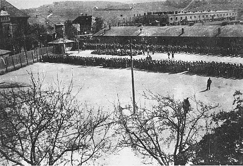 Melk Concentration Camp Historic site, Melk9 km SW
-
Sierning River, Lower Austria7.5 km S
Sources & licences
Data last updated: