Siebenbrunnengraben
Located in Lower Austria, Austria Coordinates: 48°02′58″ N 16°15′10″ E
- Elevation
- 583 m
- above sea level
- Local time
- UTC+01:00
- Europe/Vienna · UTC+01:00
About Siebenbrunnengraben
Siebenbrunnengraben is a natural site. Location: Lower Austria, Austria.
In comparison
- 142 sights and natural places within 10 km Vierjochkogel, Anninger
Nearest towns and villages
-
Gumpoldskirchen Municipality, Politischer Bezirk Mödling2 km E
-
Gumpoldskirchen Village, Gumpoldskirchen1.9 km E
-
Gaaden Municipality, Politischer Bezirk Mödling2.6 km W
-
Pfaffstätten Municipality, Politischer Bezirk Baden2.8 km S
-
Mödling Municipality, Politischer Bezirk Mödling3.8 km NE
-
Hinterbrühl Municipality, Politischer Bezirk Mödling4.4 km NW
Nearby attractions & nature
Everything nearby-
Beital Natural site, Lower Austria0.7 km N
-
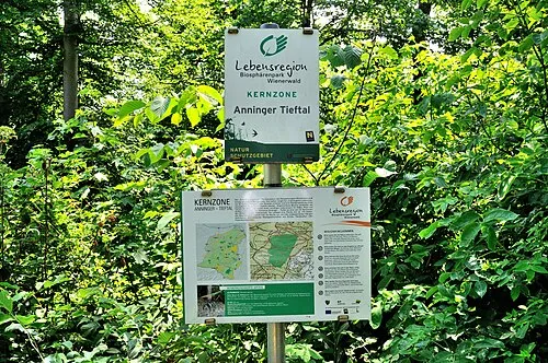 Tieftal Natural site, Lower Austria1.1 km SW
-
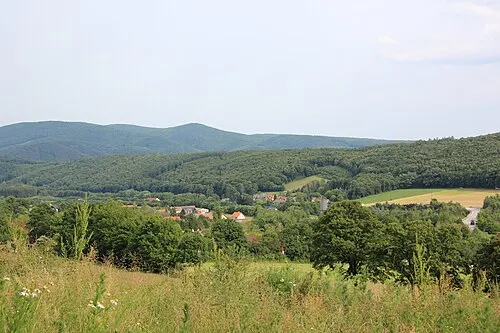 Buchkogel Mountain, Gaaden1.3 km W
-
Harlehner Brunnen Natural site, Lower Austria1.1 km E
-
Vierjochkogel Mountain, Gaaden0.3 km N
-
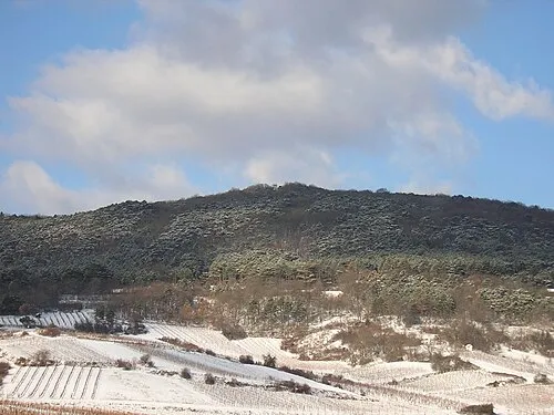 Pfaffstättner Kogel Mountain, Pfaffstätten2.3 km SW
-
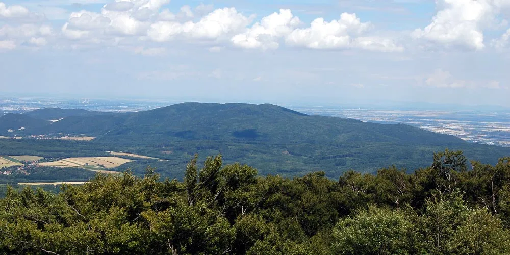 Anninger Mountain, Gaaden0.5 km SW
-
Kleines Kiental Natural site, Lower Austria2.7 km SW
Sources & licences
Data last updated: · 2 independent sources