- Elevation
- 1,500 m
- above sea level
- Local time
- UTC+01:00
- Europe/Vienna · UTC+01:00
- Airports
- SZG Salzburg Airport77 km
- INN Innsbruck Airport110 km
About Käfertal
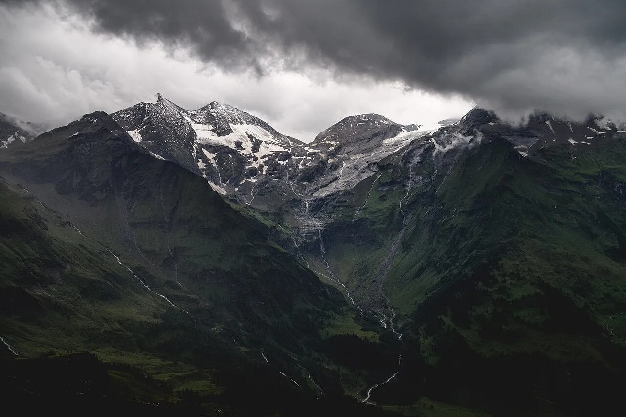
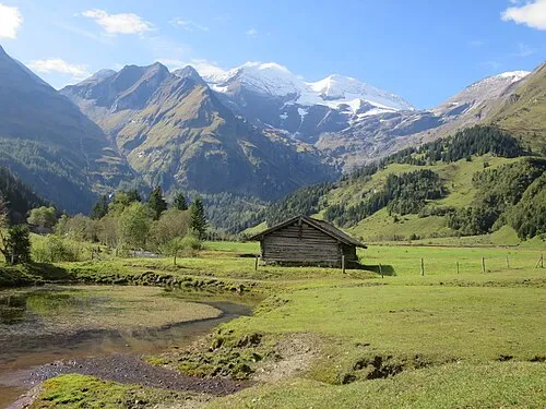
Käfertal is a natural site. Location: State of Salzburg, Austria. The nearest airport is Salzburg Airport (77 km). Nearby sights include Eisbichl and Remsköpfl.
Photos of Käfertal
-

Bybbisch94, Christian Gebhardt · CC BY-SA 4.0 -

Ewald Gabardi · CC BY-SA 3.0 -

Konrad Petrides · Public domain -
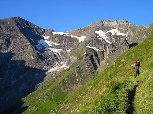
Kleiner Tenn Tigerente · CC BY-SA 4.0 -
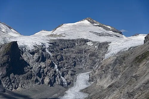
Johannisberg StVeit Maps · CC BY-SA 4.0


Climate of Käfertal
This month · November
A wet month
Day 4° · Night -1° · Rain 126 mm
- Hottest month
- July (day 16°)
- Coldest month
- February (night -6°)
- Wettest month
- July (174 mm)
- Driest month
- February (89 mm)
Bars: average monthly low and high temperature. Below: precipitation. Monthly averages for 1970–2000 at about 18 km resolution, adjusted for elevation. Highlighted months are mild and relatively dry. Source: WorldClim 2.1 (CC BY 4.0).
Show values as a table
| Month | Jan | Feb | Mar | Apr | May | Jun | Jul | Aug | Sep | Oct | Nov | Dec |
|---|---|---|---|---|---|---|---|---|---|---|---|---|
| Average high (°C) | 0° | 0° | 2° | 5° | 10° | 13° | 16° | 16° | 13° | 9° | 4° | 1° |
| Average low (°C) | -6° | -6° | -4° | -1° | 4° | 7° | 9° | 9° | 6° | 4° | -1° | -4° |
| Precipitation (mm) | 96 | 89 | 117 | 126 | 134 | 157 | 174 | 159 | 123 | 113 | 126 | 111 |
How to get to Käfertal
The nearest airport is Salzburg Airport (SZG), 77 km to the north as the crow flies. The nearest large city is Salzburg, 78 km to the north.
Airports
- Salzburg Airport (SZG) Salzburg 77 kmnorth
- Innsbruck Airport (INN) Innsbruck 110 kmwest
- Klagenfurt Airport (KLU) Klagenfurt am Wörthersee 130 kmsoutheast
Nearby large cities
- Salzburg Population: 157.2K 78 kmnorth
- Innsbruck Population: 132.5K 106 kmwest
- Klagenfurt Population: 100.3K 129 kmsoutheast
- Munich Population: 1.5M 145 kmnorthwest
- Linz Population: 204.8K 174 kmnortheast
Straight-line distances; road distances are longer. Airport data: OurAirports.
Day trips from Käfertal
Within 100 km: 214 historic and cultural sites, 4,237 natural sites, 1,050 lakes, rivers and coasts.
0–25 km746 places
- Fürlegsee Lake 12 kmW
- Vorderer Langtalsee Lake 13 kmS
- Brandlsee Lake 13 kmN
- Brechlsee Lake 9 kmN
25–60 km1,744 places
- Sille River 45 kmSW
- Eissee Lake 30 kmW
- Kleiner Paarsee Lake 32 kmNE
- Großer Paarsee Lake 32 kmNE
60–100 km3,011 places
- Hoher Dachstein Mountain 74 kmNE
- Frauenchiemsee Island 88 kmN
- Herreninsel Island 87 kmN
- Prestreljenik Mountain 100 kmSE
Straight-line distances.
Nearest towns and villages
-
Heiligenblut Municipality, Spittal an der Drau District8.1 km S
-
Kaprun Municipality, Zell am See District10 km N
-
Winkl Village, Heiligenblut8.3 km S
-
Ferleiten Village, Fusch an der Grossglocknerstrasse6.2 km NE
-
Heiligenblut am Großglockner Village, Heiligenblut10 km SE
-
Rauris Municipality, Zell am See District14 km E
Nearby attractions & nature
Everything nearby-
Eisbichl Mountain, Fusch an der Grossglocknerstrasse0.7 km E
-
Remsköpfl Mountain, Fusch an der Grossglocknerstrasse1.7 km W
-
Kapuziner Mountain, Heiligenblut2 km S
-
Traunerbach River, State of Salzburg0.7 km E
-
Pfandlbach River, State of Salzburg0.7 km E
-
Schartenkopf Mountain, Fusch an der Grossglocknerstrasse2.2 km S
-
Späherbründl Natural site, State of Salzburg2.2 km S
-
Sinwelleck Mountain, Heiligenblut2.7 km SW
More nature in Austria
-
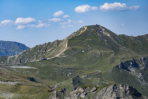 Edelweissspitze Mountain, Rauris4.3 km E
-
 Ferleitental Natural site, State of Salzburg3.9 km NE
-
Kendlkopf Mountain, Fusch an der Grossglocknerstrasse4.7 km E
-
Kloben Mountain, Fusch an der Grossglocknerstrasse2.8 km SE
-
Hohe Dock Mountain, Fusch an der Grossglocknerstrasse2.9 km NW
-
Pfalzkogel Mountain, Fusch an der Grossglocknerstrasse3.2 km E
Sources & licences
Data last updated: · 2 independent sources