- Elevation
- 1,703 m
- above sea level
- Local time
- UTC+01:00
- Europe/Vienna · UTC+01:00
- Airports
- SZG Salzburg Airport76 km
- KLU Klagenfurt Airport90 km
About Kleiner Kesselbach
Kleiner Kesselbach is a river. Location: State of Salzburg, Austria. The nearest airport is Salzburg Airport (76 km). Nearby sights include Riedingbach and Mühlbach.
Photos of Kleiner Kesselbach
-
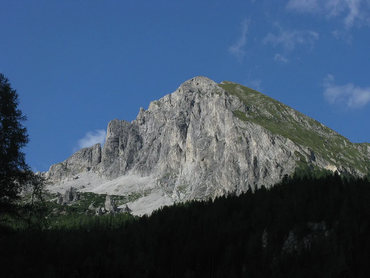
Zwillingwand Kuhni74 · CC BY-SA 4.0 -
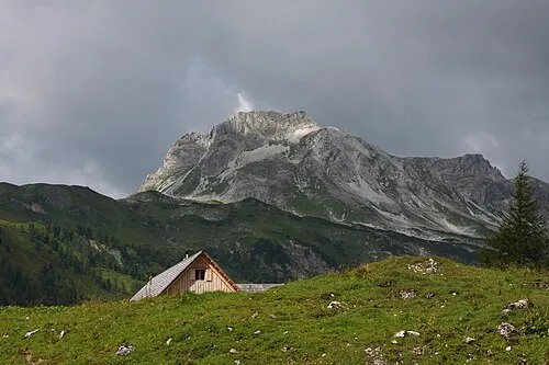
Stampferwand Ewald Gabardi · CC BY-SA 3.0 -
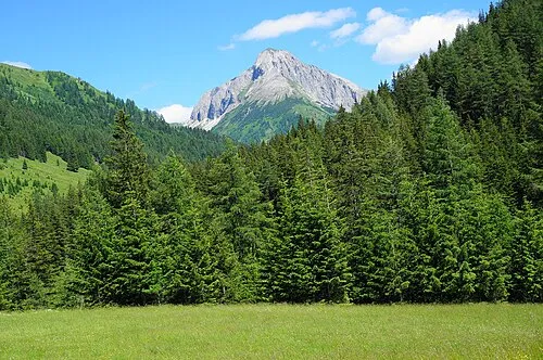
Riedingspitze Naturpuur · CC BY-SA 4.0 -
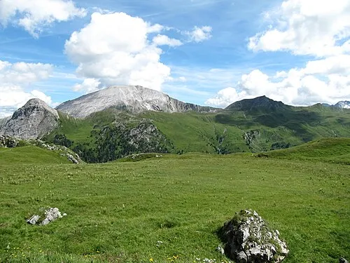
Reicheskogel Limnologus · CC BY-SA 4.0 -
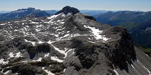
Mosermandl Tigerente · CC BY-SA 3.0


Climate of Kleiner Kesselbach
This month · November
A wet month
Day 2° · Night -5° · Rain 120 mm
- Hottest month
- July (day 15°)
- Coldest month
- February (night -9°)
- Wettest month
- July (195 mm)
- Driest month
- February (77 mm)
Bars: average monthly low and high temperature. Below: precipitation. Monthly averages for 1970–2000 at about 18 km resolution, adjusted for elevation. Highlighted months are mild and relatively dry. Source: WorldClim 2.1 (CC BY 4.0).
Show values as a table
| Month | Jan | Feb | Mar | Apr | May | Jun | Jul | Aug | Sep | Oct | Nov | Dec |
|---|---|---|---|---|---|---|---|---|---|---|---|---|
| Average high (°C) | -2° | -1° | 1° | 3° | 9° | 12° | 15° | 15° | 12° | 8° | 2° | -1° |
| Average low (°C) | -9° | -9° | -7° | -4° | 1° | 4° | 6° | 6° | 3° | 0° | -5° | -7° |
| Precipitation (mm) | 84 | 77 | 106 | 119 | 138 | 181 | 195 | 172 | 140 | 117 | 120 | 106 |
How to get to Kleiner Kesselbach
The nearest airport is Salzburg Airport (SZG), 76 km to the northwest as the crow flies. The nearest large city is Salzburg, 75 km to the northwest.
Airports
- Salzburg Airport (SZG) Salzburg 76 kmnorthwest
- Klagenfurt Airport (KLU) Klagenfurt am Wörthersee 90 kmsoutheast
- Linz-Hörsching Airport (LNZ) Linz 129 kmnortheast
Nearby large cities
- Salzburg Population: 157.2K 75 kmnorthwest
- Klagenfurt Population: 100.3K 90 kmsoutheast
- Linz Population: 204.8K 140 kmnortheast
- Ljubljana Population: 272.2K 150 kmsoutheast
- Graz Population: 303.3K 152 kmeast
Straight-line distances; road distances are longer. Airport data: OurAirports.
Day trips from Kleiner Kesselbach
Within 100 km: 321 historic and cultural sites, 4,067 natural sites, 1,196 lakes, rivers and coasts.
0–25 km400 places
- Untersee Lake 22 kmNE
- Wildsee Lake 18 kmNE
- Schuhflickersee Lake 25 kmW
- Mittersee Lake 22 kmNE
25–60 km1,928 places
- Hoher Dachstein Mountain 35 kmN
- Vorderer Langtalsee Lake 55 kmW
- Seeriessee Lake 29 kmNE
- Brandlsee Lake 52 kmW
60–100 km3,256 places
- Triglav Mountain 94 kmS
- Rjavina Mountain 94 kmS
- Prestreljenik Mountain 91 kmS
- Vršič Mountain 86 kmS
Straight-line distances.
Nearest towns and villages
Nearby attractions & nature
Everything nearby-
Riedingbach River, State of Salzburg<0.1 km N
-
Mühlbach River, State of Salzburg<0.1 km N
-
Kesselbach River, State of Salzburg<0.1 km N
-
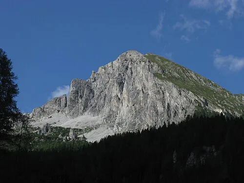 Zwillingwand Mountain, Zederhaus2.2 km NE
-
Guglspitze Mountain, Zederhaus2.5 km E
-
Labspitze Mountain, Zederhaus2.7 km NE
-
Stampferwand Mountain, Tweng3.9 km N
-
Pleissnitzkogel Mountain, Zederhaus3.9 km S
Sources & licences
Data last updated: