Steinwald
Located in State of Salzburg, Austria Coordinates: 47°21′00″ N 13°06′00″ E
- Elevation
- 1,497 m
- above sea level
- Local time
- UTC+01:00
- Europe/Vienna · UTC+01:00
About Steinwald
Steinwald is a natural site. Location: State of Salzburg, Austria.
In comparison
- 77 sights and natural places within 10 km Hollereggwald, Filzkogel
Airports nearest to Steinwald
- Salzburg Airport (SZG) Salzburg 50 km
- Klagenfurt Airport (KLU) Klagenfurt am Wörthersee 123 km
- Linz-Hörsching Airport (LNZ) Linz 128 km
Straight-line distance; airports with scheduled flights only. Source: OurAirports (public domain).
Nearest towns and villages
-
Schattau Village, Goldegg1.9 km S
-
Viehlehen Village, Sankt Veit im Pongau<0.1 km N
-
Goldegg Municipality, St. Johann im Pongau District3.5 km SW
-
Enkerbichl Village, Goldegg2.2 km SW
-
Viellehen Village, Sankt Veit im Pongau1.1 km S
-
Mühlbach am Hochkönig Village, Mühlbach am Hochkönig3.8 km NE
Nearby attractions & nature
Everything nearby-
Hollereggwald Natural site, State of Salzburg<0.1 km N
-
Filzkogel Mountain, Goldegg1.3 km W
-
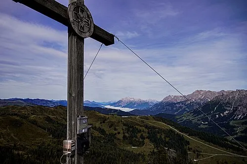 Schneeberg Mountain, Mühlbach am Hochkönig3.1 km NW
-
Hochegg Mountain, Goldegg2.5 km W
-
Brennerköpfl Mountain, Mühlbach am Hochkönig2.2 km NE
-
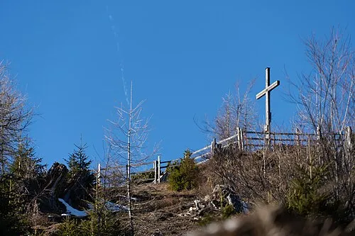 Hochglocker Mountain, St. Johann im Pongau3.8 km E
-
Schleichkogel Mountain, St. Johann im Pongau5.4 km E
-
Hengstbachwald Natural site, State of Salzburg4.2 km NE
More nature in Austria
-
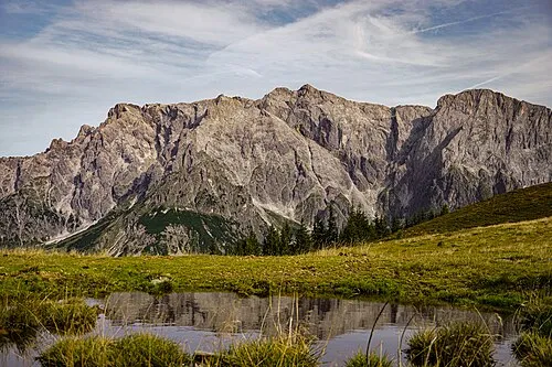 Hochkönig Mountain, Mühlbach am Hochkönig8.3 km N
-
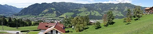 Palfner Kogel Mountain, Bischofshofen7.3 km NE
-
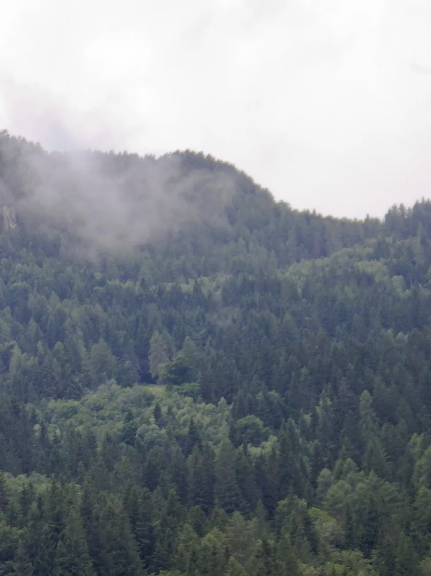 Rauchkögerl Mountain, Lend8.3 km SW
-
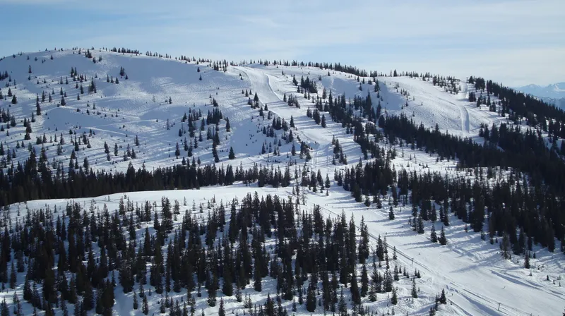 Hochkeil Mountain, Bischofshofen6.7 km NE
-
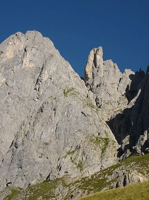 Gamsleitenkopf Mountain, Mühlbach am Hochkönig7.5 km N
-
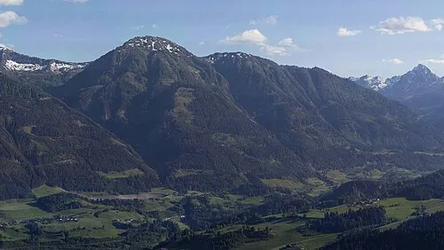 Hasseck Mountain, Sankt Veit im Pongau7.8 km S
Sources & licences
Data last updated: