- Elevation
- 1,754 m
- above sea level
- Local time
- UTC+01:00
- Europe/Vienna · UTC+01:00
- Airports
- SZG Salzburg Airport76 km
- INN Innsbruck Airport97 km
About Tauernmoosbach
Tauernmoosbach is a river. Location: State of Salzburg, Austria. The nearest airport is Salzburg Airport (76 km). Nearby sights include Grünsee and Dorfer Öd.
Photos of Tauernmoosbach
-
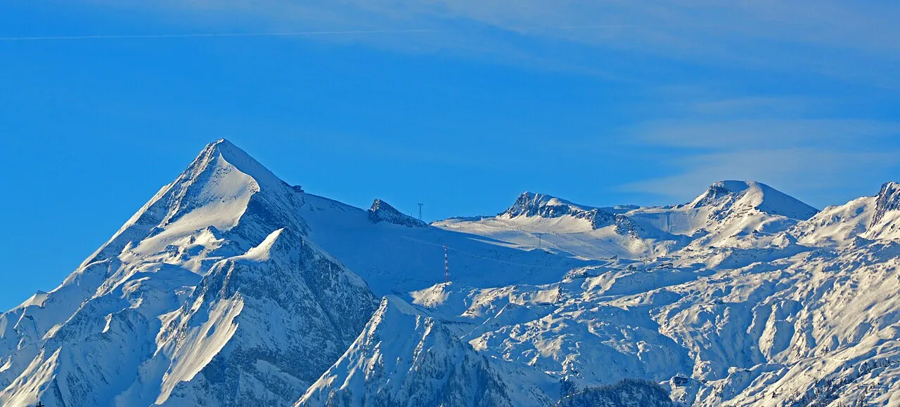
Hohe Kammer Wald1siedel · CC BY-SA 3.0 -
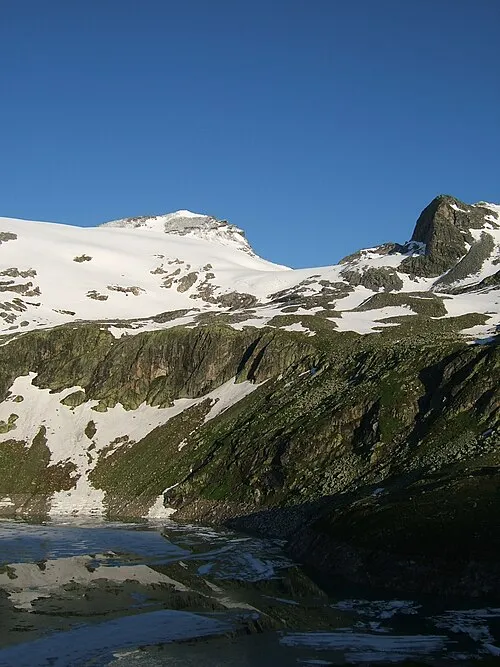
Stubacher Sonnblick Cactus26 · CC BY-SA 3.0 -
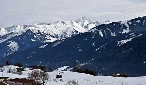
Lerchwand Herzi Pinki · CC BY-SA 4.0 -
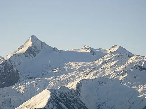
Kitzsteinhorn Spiderfox · CC BY 3.0 -
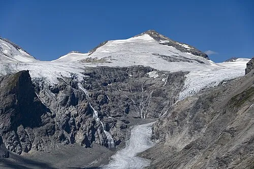
Johannisberg StVeit Maps · CC BY-SA 4.0


Climate of Tauernmoosbach
This month · November
A cold month
Day 2° · Night -5° · Rain 91 mm
- Hottest month
- July (day 16°)
- Coldest month
- January (night -9°)
- Wettest month
- July (170 mm)
- Driest month
- February (64 mm)
Bars: average monthly low and high temperature. Below: precipitation. Monthly averages for 1970–2000 at about 18 km resolution, adjusted for elevation. Highlighted months are mild and relatively dry. Source: WorldClim 2.1 (CC BY 4.0).
Show values as a table
| Month | Jan | Feb | Mar | Apr | May | Jun | Jul | Aug | Sep | Oct | Nov | Dec |
|---|---|---|---|---|---|---|---|---|---|---|---|---|
| Average high (°C) | -2° | -1° | 2° | 5° | 10° | 13° | 16° | 16° | 12° | 8° | 2° | -1° |
| Average low (°C) | -9° | -9° | -6° | -3° | 1° | 4° | 7° | 7° | 4° | 0° | -5° | -8° |
| Precipitation (mm) | 67 | 64 | 84 | 89 | 115 | 152 | 170 | 151 | 109 | 88 | 91 | 80 |
How to get to Tauernmoosbach
The nearest airport is Salzburg Airport (SZG), 76 km to the northeast as the crow flies. The nearest large city is Salzburg, 77 km to the northeast.
Airports
- Salzburg Airport (SZG) Salzburg 76 kmnortheast
- Innsbruck Airport (INN) Innsbruck 97 kmwest
- Bolzano Airport (BZO) Bolzano (BZ) 126 kmsouthwest
Nearby large cities
- Salzburg Population: 157.2K 77 kmnortheast
- Innsbruck Population: 132.5K 93 kmwest
- Munich Population: 1.5M 133 kmnorthwest
- Klagenfurt Population: 100.3K 142 kmsoutheast
- Linz Population: 204.8K 178 kmnortheast
Straight-line distances; road distances are longer. Airport data: OurAirports.
Day trips from Tauernmoosbach
Within 100 km: 224 historic and cultural sites, 4,354 natural sites, 1,075 lakes, rivers and coasts.
0–25 km841 places
- Fürlegsee Lake 4 kmS
- Vorderer Langtalsee Lake 22 kmSE
- Eissee Lake 21 kmSW
- Brandlsee Lake 14 kmNE
25–60 km1,698 places
- Sille River 45 kmS
- Kleiner Paarsee Lake 40 kmE
- Großer Paarsee Lake 40 kmE
- Schuhflickersee Lake 42 kmE
60–100 km3,114 places
- Hoher Dachstein Mountain 82 kmNE
- Frauenchiemsee Island 80 kmN
- Herreninsel Island 79 kmN
- Piz Gralba Mountain 95 kmSW
Straight-line distances.
Nearest towns and villages
-
Enzingerboden Village, Uttendorf0.9 km NE
-
Uttendorf Municipality, Zell am See District5.1 km N
-
Schneiderau Village, Uttendorf3.9 km N
-
Kaprun Municipality, Zell am See District9.5 km NE
-
Niedernsill Municipality, Zell am See District11 km N
-
Fellern Village, Uttendorf5.7 km N
Nearby attractions & nature
Everything nearby-
Grünsee Lake, Uttendorf0.9 km S
-
Dorfer Öd Natural site, State of Salzburg3.1 km NW
-
Sprengkogel Mountain, Uttendorf1.3 km E
-
Magaiskopf Mountain, Uttendorf1.3 km W
-
Winterkogel Mountain, Uttendorf1.3 km W
-
Teufelsmühle Mountain, Uttendorf1.3 km W
-
Weißenbach River, State of Salzburg1.9 km S
-
Schötterbäche River, State of Salzburg2.2 km SE
Sources & licences
Data last updated: