- Elevation
- 2,454 m
- above sea level
- Local time
- UTC+01:00
- Europe/Vienna · UTC+01:00
- Airports
- SZG Salzburg Airport67 km
- KLU Klagenfurt Airport116 km
About Kramkogel
Kramkogel is a mountain. Location: Rauris, Zell am See District. Elevation: 2,454 m. The nearest airport is Salzburg Airport (67 km). Nearby sights include Schwarzwand and Gamskogel.
Photos of Kramkogel
-
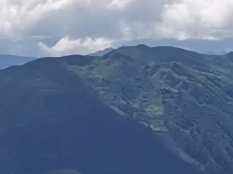
Mooseck Höhe Mateus2019 · CC BY-SA 3.0 -
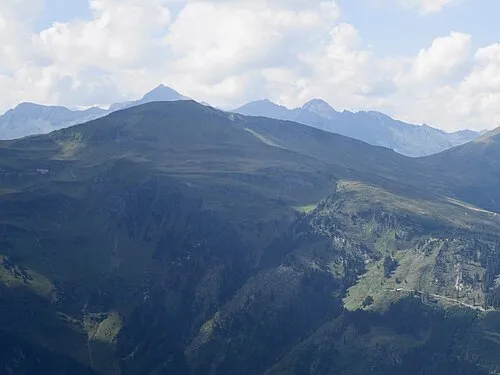
Kalkbretterkopf Naturpuur · CC BY-SA 4.0 -
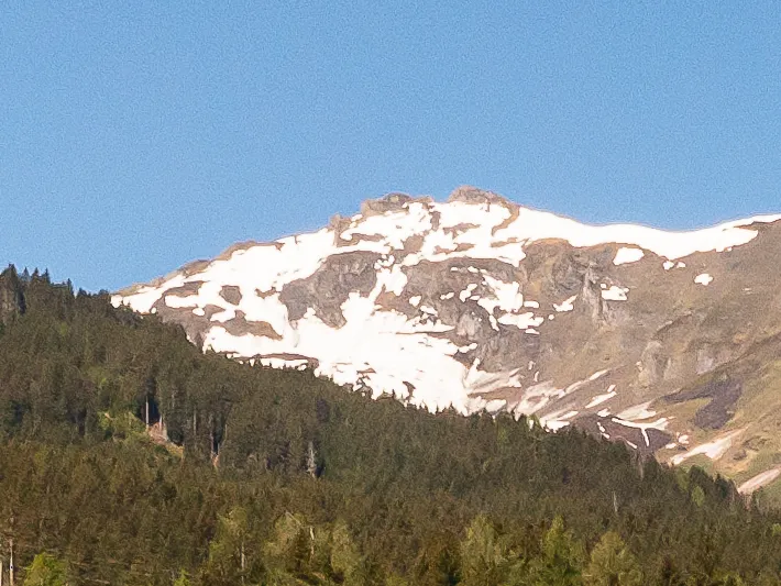
Gamskogel Lwoerndl · CC BY-SA 4.0 -
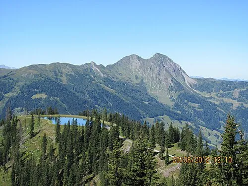
Bernkogel Petr Havliček · CC BY-SA 3.0


Climate of Kramkogel
This month · November
A cold month
Day -3° · Night -11° · Rain 94 mm
- Hottest month
- July (day 11°)
- Coldest month
- January (night -15°)
- Wettest month
- July (177 mm)
- Driest month
- February (64 mm)
Bars: average monthly low and high temperature. Below: precipitation. Monthly averages for 1970–2000 at about 18 km resolution, adjusted for elevation. Highlighted months are mild and relatively dry. Source: WorldClim 2.1 (CC BY 4.0).
Show values as a table
| Month | Jan | Feb | Mar | Apr | May | Jun | Jul | Aug | Sep | Oct | Nov | Dec |
|---|---|---|---|---|---|---|---|---|---|---|---|---|
| Average high (°C) | -7° | -6° | -3° | 0° | 6° | 9° | 11° | 11° | 7° | 3° | -3° | -6° |
| Average low (°C) | -15° | -14° | -12° | -9° | -4° | -1° | 1° | 1° | -2° | -6° | -11° | -14° |
| Precipitation (mm) | 70 | 64 | 82 | 92 | 114 | 160 | 177 | 158 | 119 | 95 | 94 | 84 |
How to get to Kramkogel
The nearest airport is Salzburg Airport (SZG), 67 km to the north as the crow flies. The nearest large city is Salzburg, 68 km to the north.
Airports
- Salzburg Airport (SZG) Salzburg 67 kmnorth
- Klagenfurt Airport (KLU) Klagenfurt am Wörthersee 116 kmsoutheast
- Innsbruck Airport (INN) Innsbruck 128 kmwest
Nearby large cities
- Salzburg Population: 157.2K 68 kmnorth
- Klagenfurt Population: 100.3K 115 kmsoutheast
- Innsbruck Population: 132.5K 125 kmwest
- Munich Population: 1.5M 152 kmnorthwest
- Linz Population: 204.8K 156 kmnortheast
Straight-line distances; road distances are longer. Airport data: OurAirports.
Day trips from Kramkogel
Within 100 km: 237 historic and cultural sites, 4,219 natural sites, 1,072 lakes, rivers and coasts.
0–25 km462 places
- Brandlsee Lake 21 kmW
- Brechlsee Lake 18 kmW
- Brettersee Lake 19 kmSW
- Kachelsee Lake 23 kmSW
25–60 km2,176 places
- Hoher Dachstein Mountain 54 kmNE
- Fürlegsee Lake 32 kmW
- Vorderer Langtalsee Lake 28 kmSW
- Seeriessee Lake 57 kmE
60–100 km2,890 places
- Frauenchiemsee Island 89 kmNW
- Herreninsel Island 89 kmNW
- Prestreljenik Mountain 98 kmS
- Vršič Mountain 100 kmSE
Straight-line distances.
Nearest towns and villages
-
Vorstandrevier Village, Rauris4.3 km NW
-
Wörtherberg Village, Rauris4.6 km NW
-
Bad Hofgastein Municipality, St. Johann im Pongau District5.2 km SE
-
Rauris Village, Rauris5.3 km NW
-
Bad Hofgastein Village, Bad Hofgastein5.1 km E
-
Bucheben Village, Rauris5.8 km SW
Nearby attractions & nature
Everything nearby-
Schwarzwand Mountain, Dorfgastein1.5 km E
-
Gamskogel Mountain, Rauris2.9 km SW
-
Jedlkopf Mountain, Dorfgastein2.4 km NE
-
Mooseck Höhe Mountain, Rauris5.2 km N
-
Mauskarkopf Mountain, Bad Hofgastein3.9 km S
-
Forsterbach River, Rauris4 km W
-
Gasteinertal Natural site, State of Salzburg4.9 km E
-
Bernkogel Mountain, Dorfgastein7.1 km N
More nature in Austria
-
Kalkbretterkopf Mountain, Rauris7.7 km S
-
Hüttwinkltal Natural site, Rauris6.3 km SW
-
Hirschkopf Mountain, Rauris8.7 km NW
-
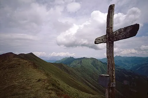 Breitebenkopf Mountain, Rauris9.2 km W
-
Katzenkopf Mountain, Rauris5.7 km N
-
Grubereck Mountain, Rauris6.2 km N
Sources & licences
Data last updated: