Zechnerschlag Kogel
Located in Breitenau am Hochlantsch, Bruck-Mürzzuschlag District Coordinates: 47°22′00″ N 15°32′00″ E
- Elevation
- 1,378 m
- above sea level
- Local time
- UTC+01:00
- Europe/Vienna · UTC+01:00
- Airports
- GRZ Graz Airport42 km
- MBX Maribor Edvard Rusjan Airport99 km
About Zechnerschlag Kogel
Zechnerschlag Kogel is a mountain. Location: Breitenau am Hochlantsch, Bruck-Mürzzuschlag District. Elevation: 1,378 m. The best months to visit are August. The nearest airport is Graz Airport (42 km). Nearby sights include Plankogel and Streberkogel.
Photos of Zechnerschlag Kogel
-
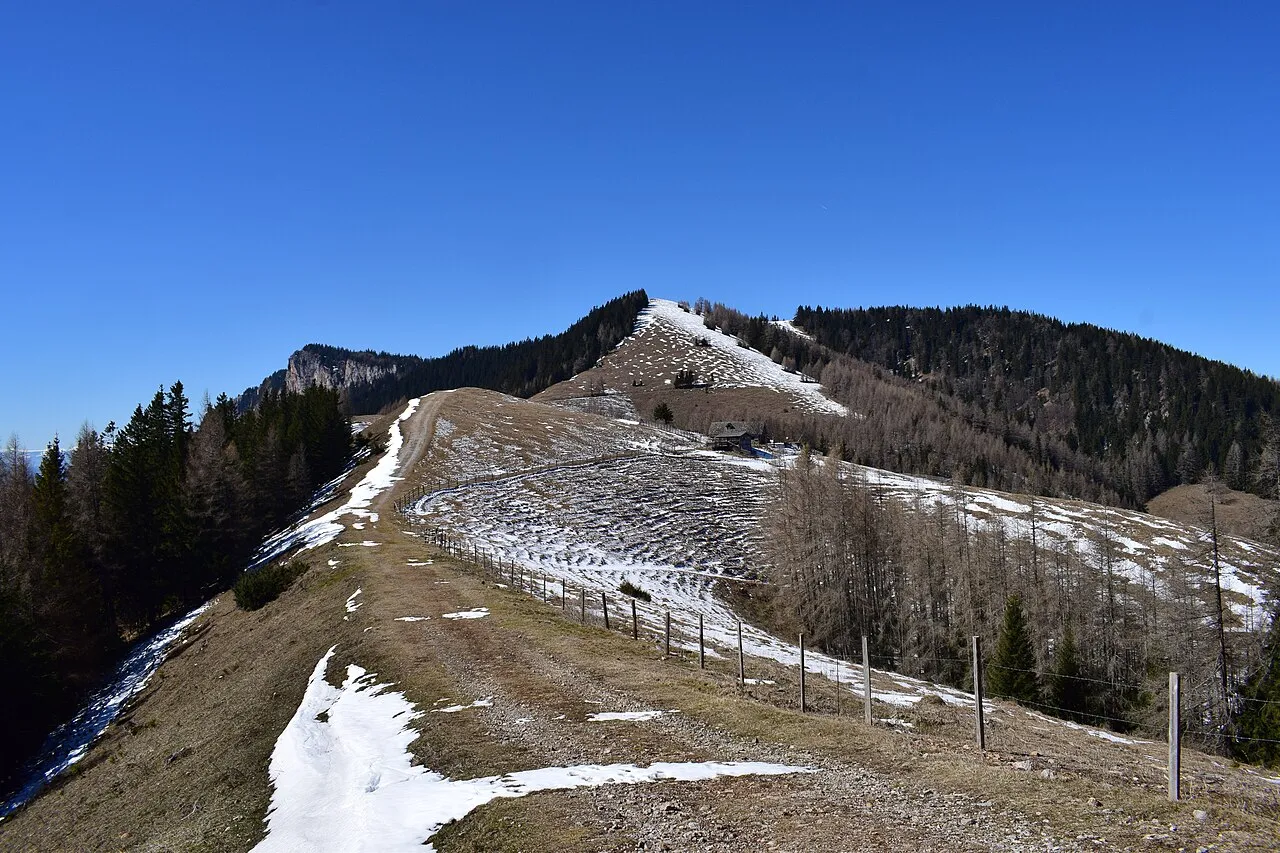
Tyrnauer Alpe Schreckgespenst · CC BY-SA 4.0 -
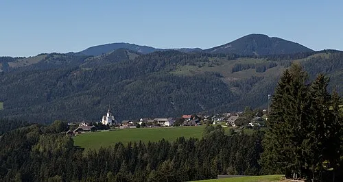
Schrottenkogel Christian Pirkl · CC BY-SA 4.0 -
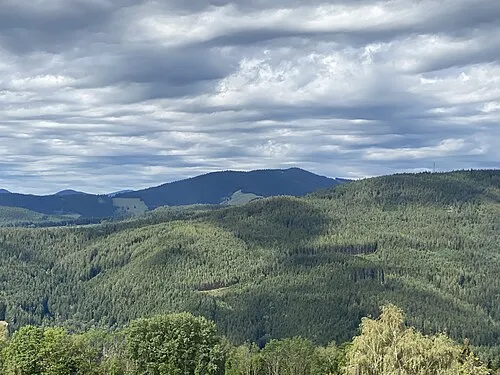
Sauernkogel Funke · CC BY-SA 4.0 -
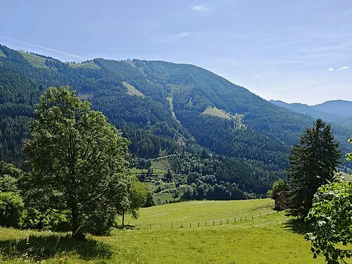
Hochschlag Schreckgespenst · CC BY-SA 4.0 -
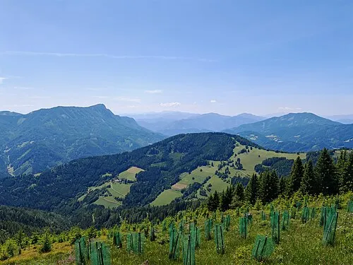
Dornerkogel Schreckgespenst · CC BY-SA 4.0


Climate of Zechnerschlag Kogel
Best months for sightseeingBest months for sightseeing: August.
This month · November
A cold month
Day 3° · Night -5° · Rain 80 mm
- Hottest month
- August (day 18°)
- Coldest month
- January (night -9°)
- Wettest month
- July (153 mm)
- Driest month
- January (57 mm)
Bars: average monthly low and high temperature. Below: precipitation. Monthly averages for 1970–2000 at about 18 km resolution, adjusted for elevation. Highlighted months are mild and relatively dry. Source: WorldClim 2.1 (CC BY 4.0).
Show values as a table
| Month | Jan | Feb | Mar | Apr | May | Jun | Jul | Aug | Sep | Oct | Nov | Dec |
|---|---|---|---|---|---|---|---|---|---|---|---|---|
| Average high (°C) | -1° | 0° | 4° | 7° | 13° | 16° | 18° | 18° | 14° | 9° | 3° | 0° |
| Average low (°C) | -9° | -8° | -5° | -2° | 3° | 6° | 8° | 8° | 4° | 0° | -5° | -7° |
| Precipitation (mm) | 57 | 57 | 79 | 84 | 110 | 139 | 153 | 131 | 107 | 83 | 80 | 72 |
Other places to visit in this season: August
How to get to Zechnerschlag Kogel
The nearest airport is Graz Airport (GRZ), 42 km to the south as the crow flies. The nearest large city is Graz, 34 km to the south.
Airports
- Graz Airport (GRZ) Feldkirchen bei Graz 42 kmsouth
- Maribor Edvard Rusjan Airport (MBX) Maribor 99 kmsouth
- Vienna International Airport (VIE) Vienna 113 kmnortheast
Nearby large cities
- Graz Population: 303.3K 34 kmsouth
- Klagenfurt Population: 100.3K 125 kmsouthwest
- Linz Population: 204.8K 140 kmnorthwest
- Bratislava Population: 423.7K 147 kmnortheast
- Győr Population: 129.3K 162 kmeast
Straight-line distances; road distances are longer. Airport data: OurAirports.
Day trips from Zechnerschlag Kogel
Within 100 km: 281 historic and cultural sites, 1,764 natural sites, 584 lakes, rivers and coasts.
0–25 km231 places
- Granegg Mountain 16 kmN
- Zlatten Berg Mountain 18 kmW
- Zeiseleck Mountain 16 kmE
- Troiseck Mountain 23 kmNW
25–60 km782 places
- Waldteiche Lake 46 kmS
- Türnsee Lake 45 kmNW
- Teufelssee Lake 51 kmNW
- Sackwiesensee Lake 43 kmNW
60–100 km1,616 places
- Ribnica Lake Lake 98 kmS
- Pohorje Mountain 93 kmS
- Klamm Natural site 93 kmW
- Jezero Pernica Lake 88 kmS
Straight-line distances.
Nearest towns and villages
-
Mitterbach Village, Gasen1.6 km NE
-
Gasen Municipality, Politischer Bezirk Weiz3.8 km NE
-
Gasen Village, Gasen3.1 km NE
-
Sankt Kathrein am Offenegg Municipality, Politischer Bezirk Weiz6.2 km SE
-
Sankt Kathrein am Offenegg II Viertel Village, Sankt Kathrein am Offenegg5.1 km SE
-
Strassegg Village, Breitenau am Hochlantsch3.7 km N
Nearby attractions & nature
Everything nearby-
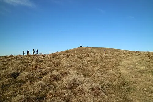 Plankogel Mountain, Sankt Kathrein am Offenegg2.3 km SE
-
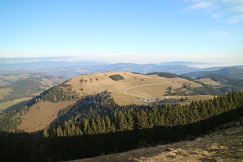 Streberkogel Mountain, Sankt Kathrein am Offenegg3.5 km E
-
Osser Mountain, Fladnitz an der Teichalm3.1 km SW
-
Hochschlag Mountain, Breitenau am Hochlantsch4.5 km NW
-
Reschenkogel Mountain, Gasen4.2 km N
-
Frießenkogel Mountain, Breitenau am Hochlantsch4.3 km W
-
Schrottenkogel Mountain, Passail5.6 km S
-
Feichtkogel Mountain, Gasen5.2 km NE
More nature in Austria
-
Dornerkogel Mountain, Breitenau am Hochlantsch6.3 km NW
-
Grosser Friess Kogel Mountain, Breitenau am Hochlantsch5 km W
-
Aibel Mountain, Breitenau am Hochlantsch7.1 km NW
-
Gräbischgraben Natural site, Breitenau am Hochlantsch10 km NW
Sources & licences
Data last updated: · 2 independent sources