Kapfenberg
Located in Bruck-Mürzzuschlag District, Styria Coordinates: 47°27′14″ N 15°16′13″ E
- Population
- 23,004
- 23K
- Elevation
- 552 m
- above sea level
- Local time
- UTC+01:00
- Europe/Vienna · UTC+01:00
- Places inside
- 22
- listed under Kapfenberg
About Kapfenberg
Kapfenberg is a municipality. Location: Bruck-Mürzzuschlag District, Styria. Population: 23,004. Elevation: 552 m.
In comparison
- Most populous of 19 places in Bruck-Mürzzuschlag District
- Nearest larger town: Leoben, 16 km SW
- 26 sights and natural places within 10 km Thörl Graben, Emberg
- Listed here: Neighbourhood: 9, Village: 9, Mountain: 3, Town: 1
Places in Kapfenberg
22 places-
Hafendorf Neighbourhood6.5K
-
Deuchendorf Town5.5K
-
Kapfenberg Village3.3K
-
Sankt Martin Neighbourhood2.4K
-
Diemlach Neighbourhood2K
-
Parschlug Village1.1K
-
Göritz Village614
-
Winkl Neighbourhood463
-
Arndorf Neighbourhood338
-
Krottendorf Neighbourhood180
-
Schörgendorf Village123
-
Einöd Neighbourhood94
-
Pötschach Village86
-
Pötschen Neighbourhood48
-
Stegg Neighbourhood37
-
Pönegg Village9
-
Emberg Mountain
-
Emberg bei Kapfenberg Village
-
Floning Mountain
-
Radelsdorf Village
-
Siebenbrunn Village
-
Zöberer Höhe Mountain
Nearby attractions & nature
Everything nearby-
Thörl Graben Natural site, Styria2.1 km NW
-
Thörlbach River, Styria3.2 km SE
-
Laming Bach River, Styria4.2 km S
-
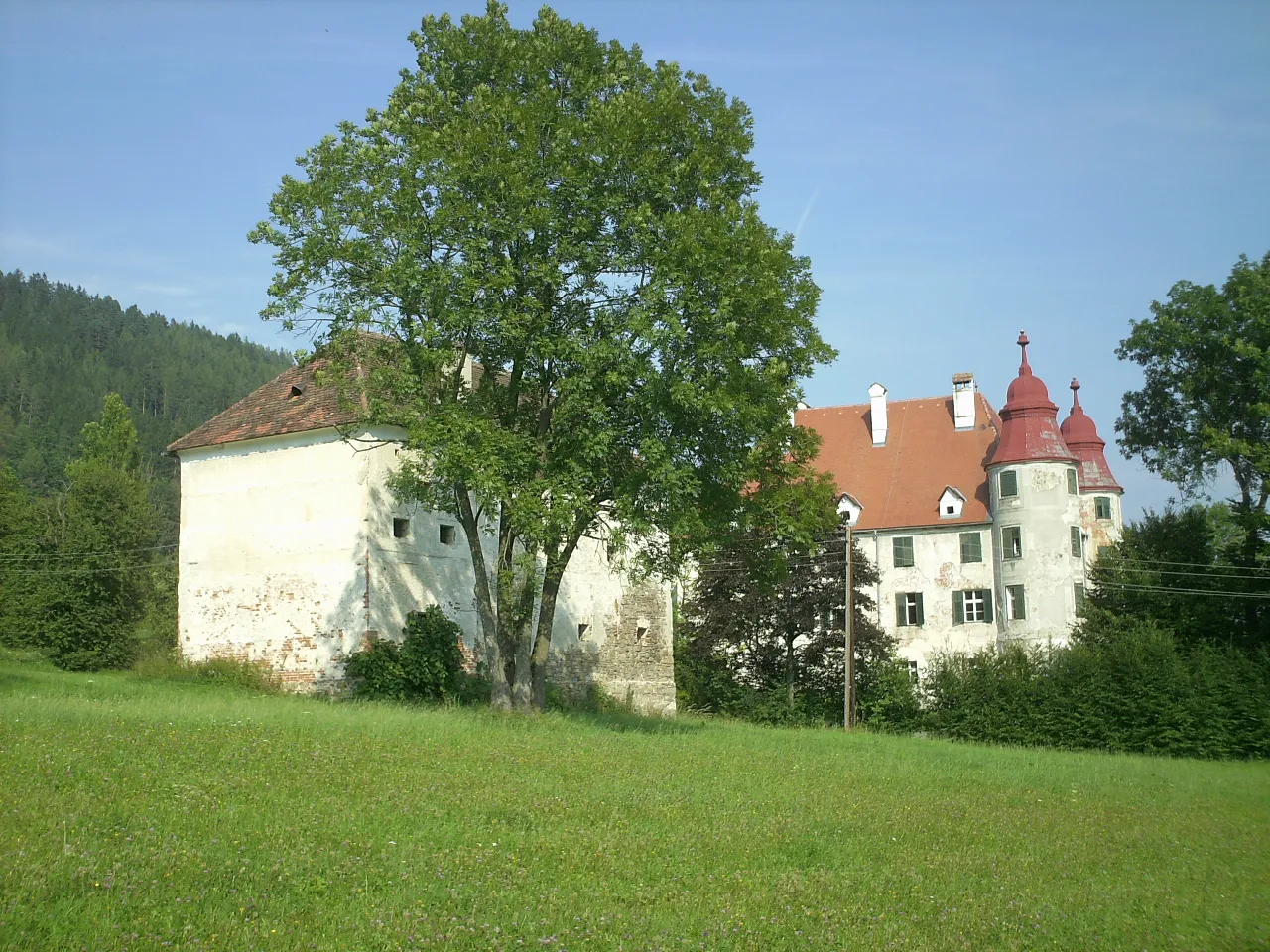 Schloss Nechelheim Historic site, Sankt Lorenzen im Mürztal6.8 km NE
-
Madereck Mountain, Bruck an der Mur5.8 km SW
-
Hochanger Mountain, Bruck an der Mur8 km S
-
Sankt Ruprecht Attraction, Bruck an der Mur6.1 km S
-
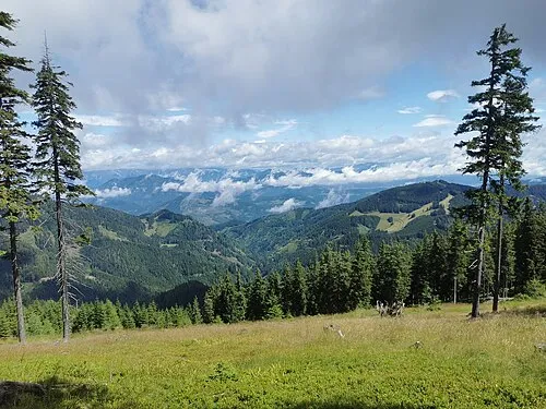 Utschgraben Natural site, Styria8.8 km SW
Sources & licences
Data last updated: