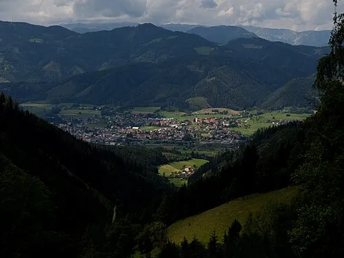
Kindberg
Located in Bruck-Mürzzuschlag District, Styria Coordinates: 47°31′03″ N 15°26′36″ E
- Population
- 8,130
- 8.1K
- Elevation
- 734 m
- above sea level
- Local time
- UTC+01:00
- Europe/Vienna · UTC+01:00
- Places inside
- 24
- listed under Kindberg
About Kindberg
Kindberg is a municipality. Location: Bruck-Mürzzuschlag District, Styria. Population: 8,130. Elevation: 734 m.
In comparison
- No. 4 of 19 places in Bruck-Mürzzuschlag District by population
- Nearest larger town: Kapfenberg, 15 km SW
- 35 sights and natural places within 10 km Schloss Oberkindberg, Möstling Graben
- Listed here: Village: 14, Mountain: 7, Historic site: 2, Town: 1
Places in Kindberg
24 places-
Kindberg Town5.2K
-
Mürzhofen Village921
-
Wieden Village495
-
Leopersdorf Village470
-
Edelsdorf Village373
-
Allerheiligen im Mürztal Village268
-
Jasnitz Village209
-
Sölsnitz Village114
-
Althadersdorf Village
-
Aumühl Village
-
Fladenbach Village
-
Gschwandkogel Mountain
-
Hadersdorf Village
-
Hedlalpe Mountain
-
Herzogberg Mountain
-
Kindthal Village
-
Kindthalgraben Village
-
Meiseleck Mountain
-
Schloss Hart Historic site
-
Schloss Oberkindberg Historic site
-
Schwarzkogel Mountain
-
Serkogel Mountain
-
Töllmar Kogel Mountain
-
Trassnitz Village
Nearby attractions & nature
Everything nearby-
Möstling Graben Natural site, Styria1.9 km NW
-
 Mürztal Natural site, Styria2.8 km SW
-
Spreglitz Graben Natural site, Styria4.3 km E
-
Lutschaun Mountain, Sankt Barbara im Mürztal4.7 km NE
-
Mürzgraben Natural site, Styria4.9 km W
-
Sonnberg Alpe Mountain, Styria5.7 km SE
-
Troiseck Mountain, Turnau4.9 km NW
-
Stanz Bach River, Styria4.3 km SW
Sources & licences
Data last updated: