Handalpe
Located in Deutschlandsberg, Deutschlandsberg District Coordinates: 46°51′00″ N 15°01′00″ E
- Elevation
- 1,801 m
- above sea level
- Local time
- UTC+01:00
- Europe/Vienna · UTC+01:00
- Airports
- GRZ Graz Airport36 km
- KLU Klagenfurt Airport57 km
About Handalpe
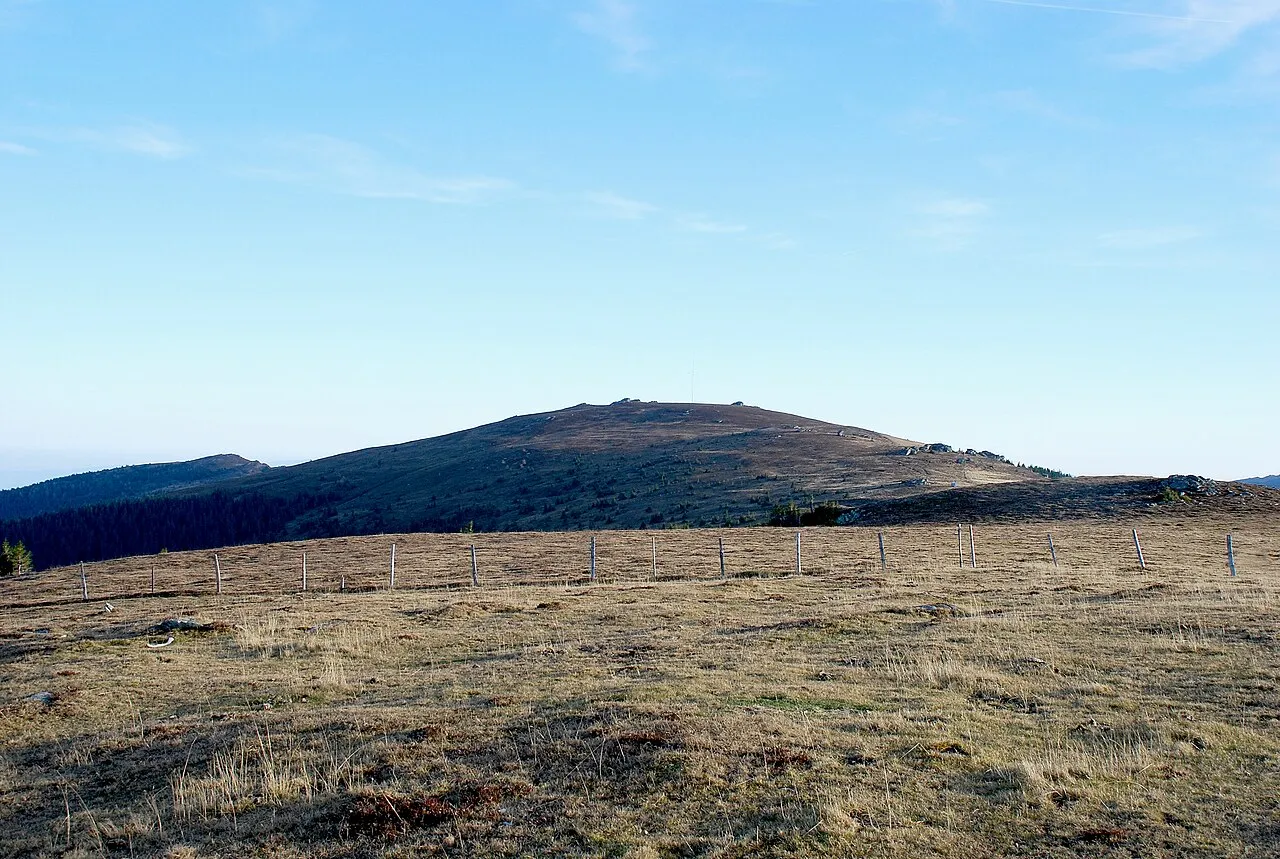
Handalpe is a mountain. Location: Deutschlandsberg, Deutschlandsberg District. Elevation: 1,801 m.
The Handalm is a mountain located in the middle of Koralpe, standing at an elevation of 1853 meters. It is situated to the north of the Weinebene. The Brandhöhe (1886 m), located south of the Handalm and itself a pre-peak of the Moschkogel (1916 m), is the next-highest peak. The Handalm's prominence is 183 meters (Weinebenstraße) and its isolation 2.5 kilometers.
Source: Wikipedia · CC BY-SA 4.0
At a glance
- Topographic prominence
- 183 m
Source: Wikidata
Climate of Handalpe
This month · November
A cold month
Day 0° · Night -7° · Rain 89 mm
- Hottest month
- July (day 16°)
- Coldest month
- January (night -12°)
- Wettest month
- July (155 mm)
- Driest month
- January (47 mm)
Bars: average monthly low and high temperature. Below: precipitation. Monthly averages for 1970–2000 at about 18 km resolution, adjusted for elevation. Highlighted months are mild and relatively dry. Source: WorldClim 2.1 (CC BY 4.0).
Show values as a table
| Month | Jan | Feb | Mar | Apr | May | Jun | Jul | Aug | Sep | Oct | Nov | Dec |
|---|---|---|---|---|---|---|---|---|---|---|---|---|
| Average high (°C) | -4° | -2° | 1° | 5° | 11° | 14° | 16° | 16° | 12° | 7° | 0° | -3° |
| Average low (°C) | -12° | -11° | -8° | -5° | 0° | 3° | 5° | 5° | 2° | -3° | -7° | -11° |
| Precipitation (mm) | 47 | 53 | 78 | 91 | 110 | 149 | 155 | 140 | 115 | 96 | 89 | 71 |
How to get to Handalpe
The nearest airport is Graz Airport (GRZ), 36 km to the northeast as the crow flies. The nearest large city is Graz, 40 km to the northeast.
Airports
- Graz Airport (GRZ) Feldkirchen bei Graz 36 kmnortheast
- Klagenfurt Airport (KLU) Klagenfurt am Wörthersee 57 kmsouthwest
- Maribor Edvard Rusjan Airport (MBX) Maribor 66 kmsoutheast
Nearby large cities
- Graz Population: 303.3K 40 kmnortheast
- Klagenfurt Population: 100.3K 60 kmsouthwest
- Zagreb Population: 663.6K 137 kmsoutheast
- Linz Population: 204.8K 171 kmnorth
- Rijeka Population: 108K 175 kmsouth
Straight-line distances; road distances are longer. Airport data: OurAirports.
Nearest towns and villages
-
Posch Alpe Village, Deutschlandsberg1.9 km E
-
Weinebene Village, Frantschach-St. Gertraud1.1 km S
-
Frantschach-St. Gertraud Municipality, Politischer Bezirk Wolfsberg6.3 km W
-
Osterwitz Village, Deutschlandsberg5.7 km E
-
Kloster Village, Deutschlandsberg6.3 km NE
-
Rettenbach Village, Deutschlandsberg6.2 km NE
Nearby attractions & nature
Everything nearby-
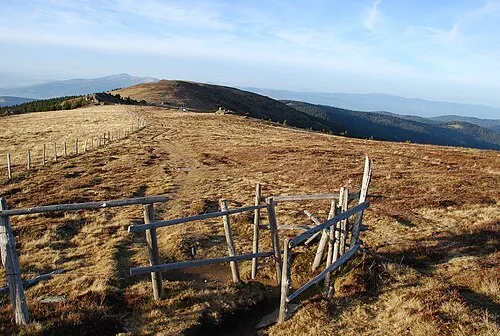 Weberkogel Mountain, Frantschach-St. Gertraud1.1 km NW
-
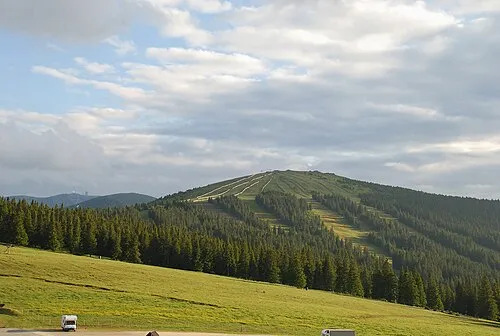 Brandhöhe Mountain, Frantschach-St. Gertraud2.2 km SW
-
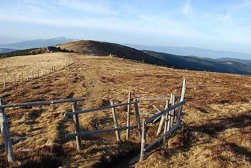 Wildbach Alpe Mountain, Frantschach-St. Gertraud2.2 km NW
-
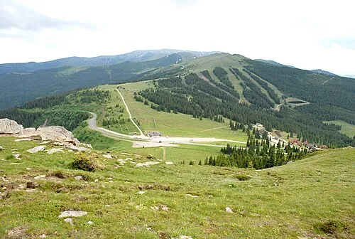 Weineben Mountain, Carinthia3.5 km SW
-
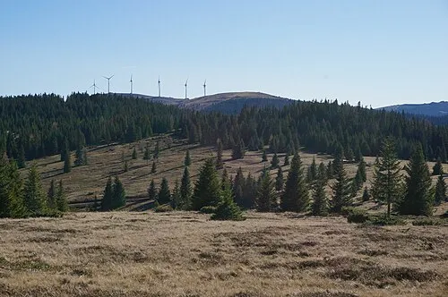 Bärofen Mountain, Frantschach-St. Gertraud4.5 km NW
-
Moschkogel Mountain, Carinthia3.6 km SW
-
Koralpe Mountain, Austria3.9 km N
-
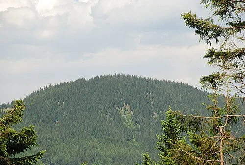 Schwarzkogel Mountain, Deutschlandsberg6.7 km NE
More nature in Austria
-
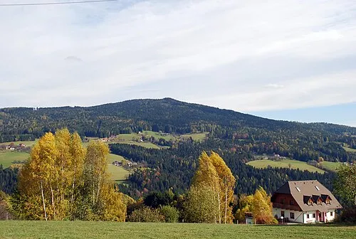 Rosenkogel Mountain, Deutschlandsberg9.6 km NE
-
Reinischkogel Mountain, Deutschlandsberg11 km NE
Sources & licences
Data last updated: · 2 independent sources