Frantschach-St. Gertraud
Located in Politischer Bezirk Wolfsberg, Carinthia Coordinates: 46°51′31″ N 14°56′07″ E
- Population
- 2,632
- 2.6K
- Elevation
- 1,168 m
- above sea level
- Local time
- UTC+01:00
- Europe/Vienna · UTC+01:00
- Places inside
- 23
- listed under Frantschach-St. Gertraud
- Airports
- GRZ Graz Airport41 km
- KLU Klagenfurt Airport52 km
About Frantschach-St. Gertraud
Frantschach-St. Gertraud is a municipality. Location: Politischer Bezirk Wolfsberg, Carinthia. Population: 2,632. Elevation: 1,168 m. The best months to visit are June–August. The nearest airport is Graz Airport (41 km). Nearby sights include Prössinggraben and Schoberkogel.
Photos of Frantschach-St. Gertraud
-
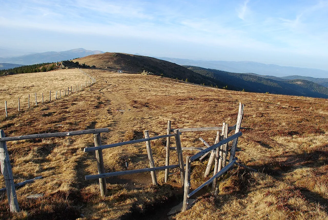
Wildbach Alpe Josef Moser · CC BY-SA 3.0 -
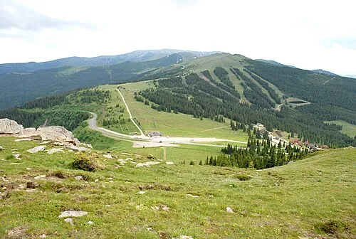
Weineben Josef Moser · CC BY-SA 3.0 -
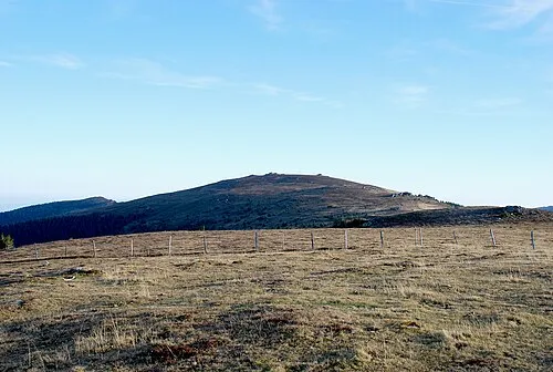
Handalpe Josef Moser · CC BY-SA 3.0 -
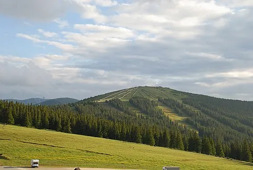
Brandhöhe Josef Moser · CC BY-SA 3.0 -
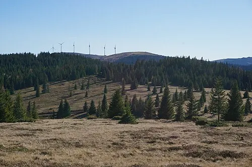
Bärofen Naturpuur · CC BY-SA 4.0


Climate of Frantschach-St. Gertraud
Best months for sightseeingBest months for sightseeing: June–August.
This month · November
A cold month
Day 4° · Night -3° · Rain 90 mm
- Hottest month
- July (day 20°)
- Coldest month
- January (night -8°)
- Wettest month
- July (151 mm)
- Driest month
- January (47 mm)
Bars: average monthly low and high temperature. Below: precipitation. Monthly averages for 1970–2000 at about 18 km resolution, adjusted for elevation. Highlighted months are mild and relatively dry. Source: WorldClim 2.1 (CC BY 4.0).
Show values as a table
| Month | Jan | Feb | Mar | Apr | May | Jun | Jul | Aug | Sep | Oct | Nov | Dec |
|---|---|---|---|---|---|---|---|---|---|---|---|---|
| Average high (°C) | 0° | 2° | 6° | 9° | 15° | 18° | 20° | 20° | 16° | 11° | 4° | 0° |
| Average low (°C) | -8° | -8° | -4° | -1° | 4° | 7° | 9° | 9° | 5° | 1° | -3° | -7° |
| Precipitation (mm) | 47 | 53 | 77 | 88 | 105 | 145 | 151 | 135 | 113 | 97 | 90 | 71 |
How to get to Frantschach-St. Gertraud
The nearest airport is Graz Airport (GRZ), 41 km to the east as the crow flies. The nearest large city is Graz, 45 km to the northeast.
Airports
- Graz Airport (GRZ) Feldkirchen bei Graz 41 kmeast
- Klagenfurt Airport (KLU) Klagenfurt am Wörthersee 52 kmsouthwest
- Maribor Edvard Rusjan Airport (MBX) Maribor 71 kmsoutheast
Nearby large cities
- Graz Population: 303.3K 45 kmnortheast
- Klagenfurt Population: 100.3K 55 kmsouthwest
- Ljubljana Population: 272.2K 96 kmsouth
- Zagreb Population: 663.6K 141 kmsoutheast
- Linz Population: 204.8K 168 kmnorth
Straight-line distances; road distances are longer. Airport data: OurAirports.
Day trips from Frantschach-St. Gertraud
Within 100 km: 279 historic and cultural sites, 1,720 natural sites, 659 lakes, rivers and coasts.
0–25 km125 places
- Raucheck Mountain 5 kmS
- Moschkogel Mountain 6 kmSE
- Zoderkogel Mountain 5 kmSW
- Wildbach Alpe Mountain 5 kmE
25–60 km773 places
- Ribnica Lake Lake 47 kmSE
- Pohorje Mountain 54 kmSE
- Rogla Mountain 54 kmSE
- Raduha Mountain 51 kmS
60–100 km1,760 places
- Lake Bled Lake 85 kmSW
- Triglav Mountain 100 kmSW
- Šmarna gora Mountain 89 kmSW
- Rjavina Mountain 96 kmSW
Straight-line distances.
Places in Frantschach-St. Gertraud
23 places- 1 Zellach 613
- 2 Frantschach 400
- 3 Sankt Gertraud 355
- 4 Untergösel 239
- 5 Vorderwölch 182
- 6 Kamp 176
- 7 Hintergumitsch 150
- 8 Limberg 108
- 9 Obergösel 103
- 10 Kamperkogel 52
- 11 Hinterwölch 49
- 12 Praken 5
Bar: population relative to the most populous place in this list.
Cities & villages4
- Frass · Village
- Kasperle · Village
- Scherbartl · Village
- Weinebene · Village
Mountains & nature7
- Bärofen · Mountain
- Brandhöhe · Mountain
- Koralpe · Mountain
- Roschachkogel · Mountain
- Weberkogel · Mountain
- Wildbach Alpe · Mountain
- Zarfelkogel · Mountain
Nearby attractions & nature
Everything nearby-
Prössinggraben Natural site, Carinthia2.9 km W
-
Schoberkogel Mountain, Wolfsberg3.9 km SW
-
Handalpe Mountain, Deutschlandsberg6.3 km E
-
Weineben Mountain, Carinthia6 km SE
-
Gunegg Mountain, Wolfsberg4.4 km N
-
Zoderkogel Mountain, Wolfsberg4.9 km SW
-
Raucheck Mountain, Wolfsberg4.9 km S
-
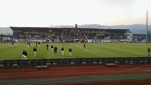 Lavanttal-Arena Landmark, Wolfsberg7.3 km SW
Sources & licences
Data last updated: