Fürstenfeld
Located in Hartberg-Fürstenfeld District, Styria Coordinates: 47°02′52″ N 16°05′16″ E
- Population
- 8,472
- 8.5K
- Elevation
- 260 m
- above sea level
- Local time
- UTC+01:00
- Europe/Vienna · UTC+01:00
- Places inside
- 12
- listed under Fürstenfeld
About Fürstenfeld
Fürstenfeld is a municipality. Location: Hartberg-Fürstenfeld District, Styria. Population: 8,472. Elevation: 260 m.
In comparison
- Most populous of 36 places in Hartberg-Fürstenfeld District
- Nearest larger town: Szentgotthárd, 18 km SE
- 12 sights and natural places within 10 km Saifenbach, Hühner Bach
- Listed here: Village: 10, River: 1, Town: 1
Places in Fürstenfeld
12 places-
Fürstenfeld Town6.3K
-
Übersbach Village668
-
Altenmarkt bei Fürstenfeld Village631
-
Stadtbergen Village336
-
Hartl Village213
-
Rittschein Village169
-
Speltenbach Village151
-
Kleinkögeln Village
-
Maierhofen Village
-
Rohrbach Village
-
Saifenbach River
-
Welsdorf Village
Nearby attractions & nature
Everything nearby-
Hühner Bach River, Styria4.6 km NW
-
Feistritz River, Austria4.9 km SE
-
Hartberg Mountain, Loipersdorf bei Fürstenfeld7.5 km S
-
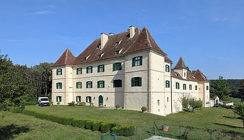 Schloß Hohenbrugg Historic site, Fehring11 km S
-
Ilz Bach River, Styria6.7 km W
-
Höfberg Mountain, Fehring9.5 km S
-
Binder Berg Mountain, Jennersdorf7.9 km SE
-
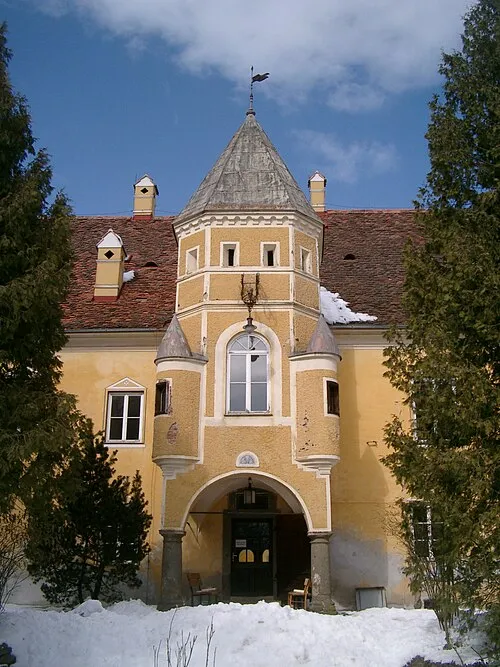 Schloß Johnsdorf Historic site, Fehring12 km SW
Sources & licences
Data last updated: