Ilz
Located in Hartberg-Fürstenfeld District, Styria Coordinates: 47°05′30″ N 15°55′47″ E
- Population
- 3,720
- 3.7K
- Elevation
- 319 m
- above sea level
- Local time
- UTC+01:00
- Europe/Vienna · UTC+01:00
- Places inside
- 19
- listed under Ilz
About Ilz
Ilz is a municipality. Location: Hartberg-Fürstenfeld District, Styria. Population: 3,720. Elevation: 319 m.
In comparison
- No. 6 of 36 places in Hartberg-Fürstenfeld District by population
- Nearest larger town: Riegersburg, 9 km S
- 5 sights and natural places within 10 km Gschmaier Bach, Schloss Uhlheim
- Listed here: Village: 18, Neighbourhood: 1
Places in Ilz
19 places-
Ilz Village1.2K
-
Nestelbach im Ilztal Village543
-
Neudorf bei Ilz Village492
-
Hochenegg Village334
-
Kleegraben Village241
-
Reigersberg Village154
-
Dörfl Village148
-
Nestelberg im Ilztal Village122
-
Buchberg bei Ilz Village112
-
Dambach Village96
-
Leithen Neighbourhood89
-
Eichberg bei Hartmannsdorf Village87
-
Kalsdorf bei Ilz Village63
-
Mutzenfeld Village63
-
Aschau Village
-
Feistritz Village
-
Oberreigersberg Village
-
Sachsenberg Village
-
Unterreigersberg Village
Nearby attractions & nature
Everything nearby-
Gschmaier Bach River, Styria1 km S
-
Schloss Uhlheim Historic site, Gersdorf an der Feistritz2.4 km W
-
Ilz Bach River, Styria7.1 km SE
-
Mayerbach River, Styria7.6 km SW
-
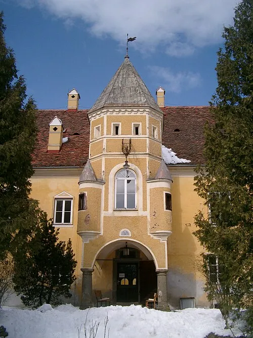 Schloß Johnsdorf Historic site, Fehring14 km S
-
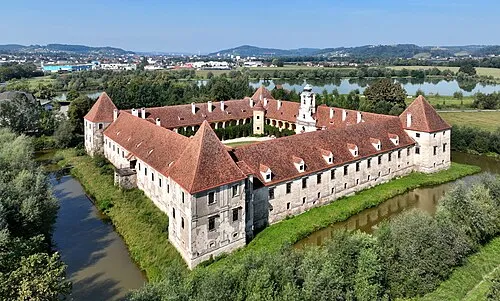 Schloß Hainfeld Historic site, Feldbach16 km S
-
Hühner Bach River, Styria8.3 km E
-
Schießlkogel Mountain, Fehring13 km S
Sources & licences
Data last updated: