Hochreichhart
Located in Wald am Schoberpaß, Leoben District Coordinates: 47°21′49″ N 14°40′55″ E
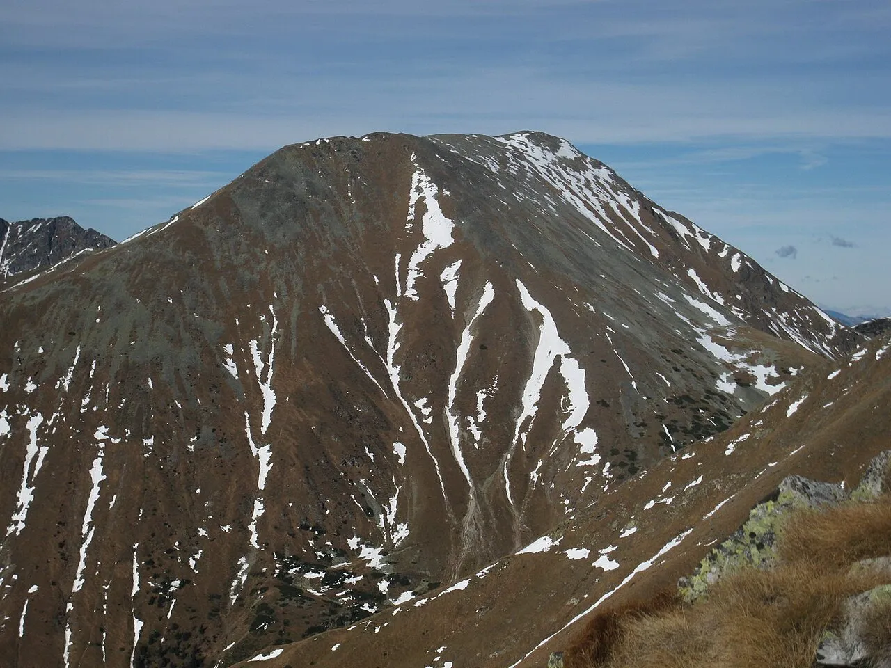
- Elevation
- 2,416 m
- above sea level
- Local time
- UTC+01:00
- Europe/Vienna · UTC+01:00
- Airports
- GRZ Graz Airport71 km
- KLU Klagenfurt Airport84 km
About Hochreichhart
Hochreichhart is a mountain. Location: Wald am Schoberpaß, Leoben District. Elevation: 2,416 m. The nearest airport is Graz Airport (71 km). Nearby sights include Maieranger Kogel and Feistererhorn.
At a glance
- Topographic prominence
- 336 m
Source: Wikidata
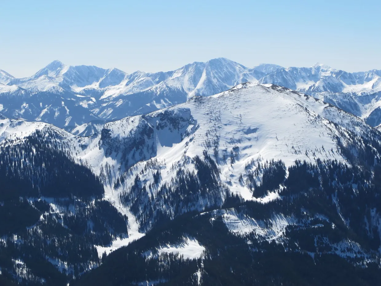
Photos of Hochreichhart
-

Walter Kropf · CC BY-SA 4.0 -

Schreckgespenst · CC BY-SA 4.0 -

Schreckgespenst · CC BY-SA 4.0 -

Schreckgespenst · CC BY-SA 4.0 -

Schreckgespenst · CC BY-SA 4.0


Climate of Hochreichhart
This month · November
A cold month
Day -4° · Night -11° · Rain 96 mm
- Hottest month
- July (day 11°)
- Coldest month
- January (night -15°)
- Wettest month
- July (172 mm)
- Driest month
- February (67 mm)
Bars: average monthly low and high temperature. Below: precipitation. Monthly averages for 1970–2000 at about 18 km resolution, adjusted for elevation. Highlighted months are mild and relatively dry. Source: WorldClim 2.1 (CC BY 4.0).
Show values as a table
| Month | Jan | Feb | Mar | Apr | May | Jun | Jul | Aug | Sep | Oct | Nov | Dec |
|---|---|---|---|---|---|---|---|---|---|---|---|---|
| Average high (°C) | -7° | -7° | -4° | 0° | 6° | 9° | 11° | 11° | 7° | 3° | -4° | -7° |
| Average low (°C) | -15° | -15° | -12° | -9° | -4° | -1° | 1° | 1° | -2° | -6° | -11° | -14° |
| Precipitation (mm) | 68 | 67 | 97 | 101 | 119 | 157 | 172 | 145 | 123 | 96 | 96 | 89 |
How to get to Hochreichhart
The nearest airport is Graz Airport (GRZ), 71 km to the southeast as the crow flies. The nearest large city is Graz, 66 km to the southeast.
Airports
- Graz Airport (GRZ) Feldkirchen bei Graz 71 kmsoutheast
- Klagenfurt Airport (KLU) Klagenfurt am Wörthersee 84 kmsouth
- Linz-Hörsching Airport (LNZ) Linz 104 kmnorth
Nearby large cities
- Graz Population: 303.3K 66 kmsoutheast
- Klagenfurt Population: 100.3K 87 kmsouth
- Linz Population: 204.8K 109 kmnorth
- Salzburg Population: 157.2K 132 kmwest
- Zagreb Population: 663.6K 199 kmsoutheast
Straight-line distances; road distances are longer. Airport data: OurAirports.
Day trips from Hochreichhart
Within 100 km: 302 historic and cultural sites, 2,800 natural sites, 830 lakes, rivers and coasts.
0–25 km336 places
- Treffnersee Lake 21 kmNW
- Gemeinsee Lake 24 kmNW
- Grüner See Lake 24 kmNW
- Geißrinksee Lake 23 kmW
25–60 km1,267 places
- Klamm Natural site 32 kmNW
- Wildsee Lake 37 kmS
- Glohbuckensee Lake 27 kmNW
- Kleiner Reitersee Lake 27 kmW
60–100 km2,329 places
- Hoher Dachstein Mountain 82 kmW
- Seeriessee Lake 70 kmW
- Untersee Lake 82 kmW
- Wildsee Lake 78 kmW
Straight-line distances.
Nearest towns and villages
-
Gaal Municipality, Murtal District6.2 km S
-
Liesing Village, Wald am Schoberpaß6.4 km N
-
Pisching Village, Kalwang7.1 km NE
-
Wald am Schoberpaß Village, Wald am Schoberpaß9.5 km N
-
Mautern in Steiermark Municipality, Leoben District9.7 km E
-
Kalwang Village, Kalwang8.9 km NE
Nearby attractions & nature
Everything nearby-
Maieranger Kogel Mountain, Gaal2 km SE
-
Feistererhorn Mountain, Mautern in Steiermark2.6 km NE
-
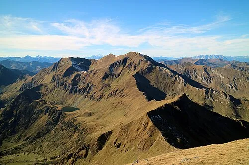 Hohenwart Mountain, Gaal3.4 km S
-
Grieskogel Mountain, Wald am Schoberpaß3.3 km NW
-
Hahnreich Mountain, Carinthia4.3 km N
-
Geierhaupt Mountain, Wald am Schoberpaß3.7 km W
-
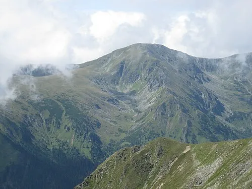 Pletzen Mountain, Gaal6 km SW
-
Seckauer Zinken Mountain, Gaal5.1 km SE
More nature in Austria
-
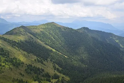 Großer Schober Mountain, Wald am Schoberpaß8.6 km NW
-
Schrimpf Kogel Mountain, Wald am Schoberpaß5.4 km NW
-
Kerschkern Mountain, Wald am Schoberpaß5.8 km NW
-
Baierhubermauer Mountain, Wald am Schoberpaß9.7 km N
-
Kleiner Schober Mountain, Wald am Schoberpaß8.6 km NW
-
 Leobner Mountain, Wald am Schoberpaß14 km N
Sources & licences
Data last updated: · 2 independent sources