Anger
Located in Politischer Bezirk Weiz, Styria Coordinates: 47°16′29″ N 15°41′30″ E
- Population
- 4,165
- 4.2K
- Elevation
- 470 m
- above sea level
- Local time
- UTC+01:00
- Europe/Vienna · UTC+01:00
- Places inside
- 15
- listed under Anger
About Anger
Anger is a municipality. Location: Politischer Bezirk Weiz, Styria. Population: 4,165. Elevation: 470 m.
In comparison
- No. 7 of 31 places in Politischer Bezirk Weiz by population
- Nearest larger town: Birkfeld, 8 km N
- 20 sights and natural places within 10 km Hoher Zetz, Hohe Zetz
- Listed here: Village: 13, Mountain: 2
Places in Anger
15 places-
Baierdorf-Umgebung Village903
-
Anger Village854
-
Oberfeistritz Village740
-
Naintsch Village487
-
Fresen Village452
-
Viertelfeistritz Village317
-
Offenegg Village106
-
Baierdorf Dorf Village
-
Edelschachen Village
-
Heilbrunn Village
-
Keppeldorf Village
-
Offner Berg Mountain
-
Rabenwaldkogel Mountain
-
Schatt Village
-
Steg Village
Nearby attractions & nature
Everything nearby-
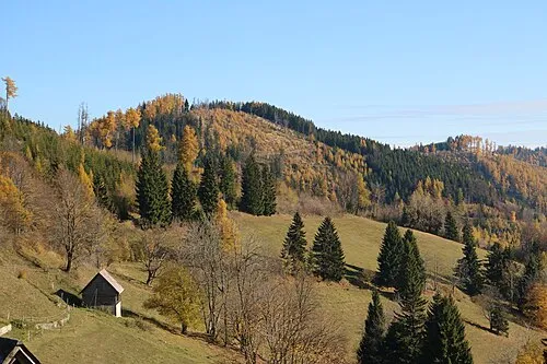 Hoher Zetz Mountain, Thannhausen3.3 km W
-
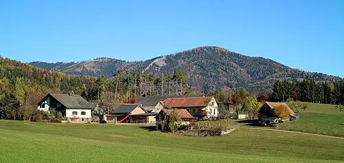 Hohe Zetz Mountain, Thannhausen3.3 km W
-
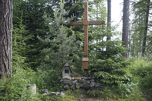 Raasberg Mountain, Thannhausen3.6 km SW
-
Schloss Frondsberg Historic site, Birkfeld4.3 km N
-
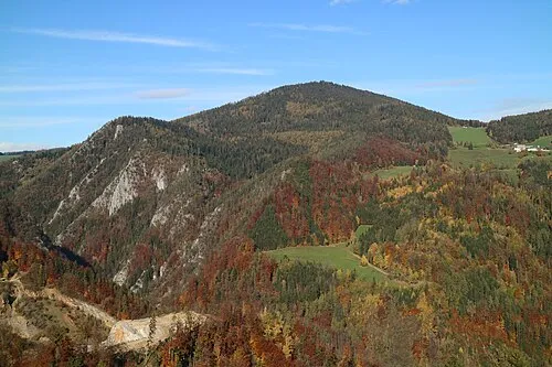 Patschaberg Mountain, Naas6.7 km W
-
Pommesberg Mountain, Sankt Kathrein am Offenegg7.6 km NW
-
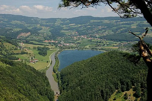 Buchkogel Mountain, Stubenberg8.2 km E
-
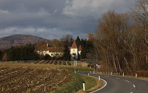 Schloss Münichhofen Historic site, Sankt Ruprecht an der Raab8.3 km S
Sources & licences
Data last updated: