Buchkogel
Located in Stubenberg, Hartberg-Fürstenfeld District Coordinates: 47°16′00″ N 15°48′00″ E
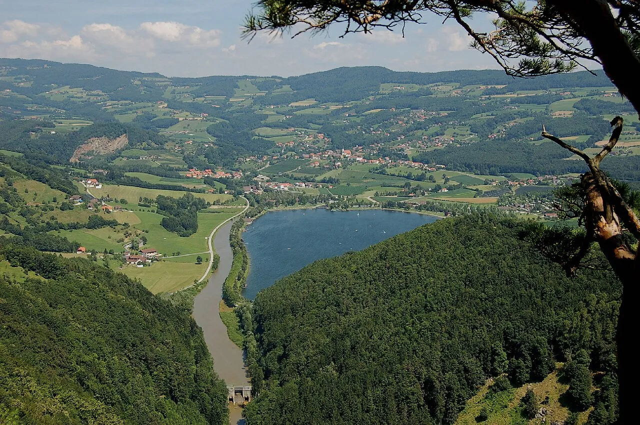
- Elevation
- 907 m
- above sea level
- Local time
- UTC+01:00
- Europe/Vienna · UTC+01:00
About Buchkogel
Buchkogel is a mountain. Location: Stubenberg, Hartberg-Fürstenfeld District. Elevation: 907 m.
In comparison
- No. 5846 of 7537 mountains in Austria by elevation
- 13 sights and natural places within 10 km Sankt Pongratz, Saifen Bach
Nearest towns and villages
-
Zeil Village, Stubenberg1.4 km SE
-
Stubenberg Village, Stubenberg2.5 km S
-
Pöllau Municipality, Hartberg-Fürstenfeld District4.3 km NE
-
Pollau Town, Pöllau4.5 km NE
-
Vockenberg Village, Stubenberg4.3 km SE
-
Freienberg Village, Stubenberg4.3 km S
Nearby attractions & nature
Everything nearby-
Schielleiten Mountain, Stubenberg3.9 km S
-
Saifen Bach River, Styria3.9 km N
-
Rabenwaldkogel Mountain, Anger6.3 km NW
-
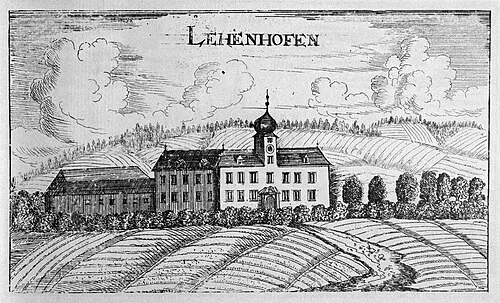 Schloss Lehenshofen Historic site, Pöllau3.9 km N
-
Kulmberg Mountain, Puch bei Weiz6.7 km SW
-
Schloss Schielleiten Historic site, Stubenberg3.9 km S
-
Annenkogel Mountain, Hartberg Umgebung8.6 km NE
-
Sternbauer Kogel Mountain, Pöllau7.4 km N
Sources & licences
Data last updated: · 2 independent sources