Pöllau
Located in Hartberg-Fürstenfeld District, Styria Coordinates: 47°17′45″ N 15°50′11″ E
- Population
- 6,057
- 6.1K
- Elevation
- 412 m
- above sea level
- Local time
- UTC+01:00
- Europe/Vienna · UTC+01:00
- Places inside
- 20
- listed under Pöllau
About Pöllau
Pöllau is a municipality. Location: Hartberg-Fürstenfeld District, Styria. Population: 6,057. Elevation: 412 m.
In comparison
- No. 3 of 36 places in Hartberg-Fürstenfeld District by population
- Nearest larger town: Hartberg, 11 km E
- 17 sights and natural places within 10 km Saifen Bach, Schloss Lehenshofen
- Listed here: Village: 13, Mountain: 4, Attraction: 1, Historic site: 1
Places in Pöllau
20 places-
Pollau Town6K
-
Obersaifen Village831
-
Rabenwald Village600
-
Prätis Village569
-
Winzendorf Village490
-
Hinteregg Village484
-
Köppelreith Village421
-
Schönau bei Pöllau Village375
-
Dörfl Village
-
Halt Village
-
Hintereck Mountain
-
Oberhochegg Village
-
Safenthal Village
-
Sankt Pongratz Attraction
-
Schloss Lehenshofen Historic site
-
Sternbauer Kogel Mountain
-
Unterhochegg Village
-
Wachholz Mountain
-
Winkl Boden Village
-
Zeiseleck Mountain
Nearby attractions & nature
Everything nearby-
Saifen Bach River, Styria1.6 km W
-
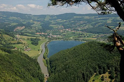 Buchkogel Mountain, Stubenberg4.3 km SW
-
Annenkogel Mountain, Hartberg Umgebung4.9 km E
-
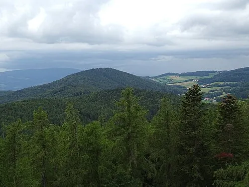 Wullmenstein Mountain, Hartberg Umgebung6.2 km E
-
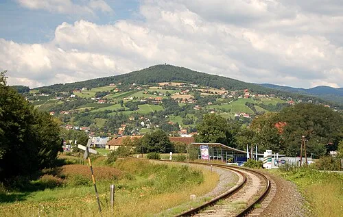 Ringkogel Mountain, Hartberg8.6 km E
-
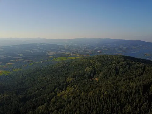 Pongratzer Kogel Mountain, Vorau7.5 km NE
-
Masenberg Mountain, Pöllauberg6.5 km NE
-
Pucheggberg Mountain, Grafendorf bei Hartberg8.3 km NE
Sources & licences
Data last updated: