Tannheimer Gebirge
Located in Austria Coordinates: 47°31′00″ N 10°37′00″ E
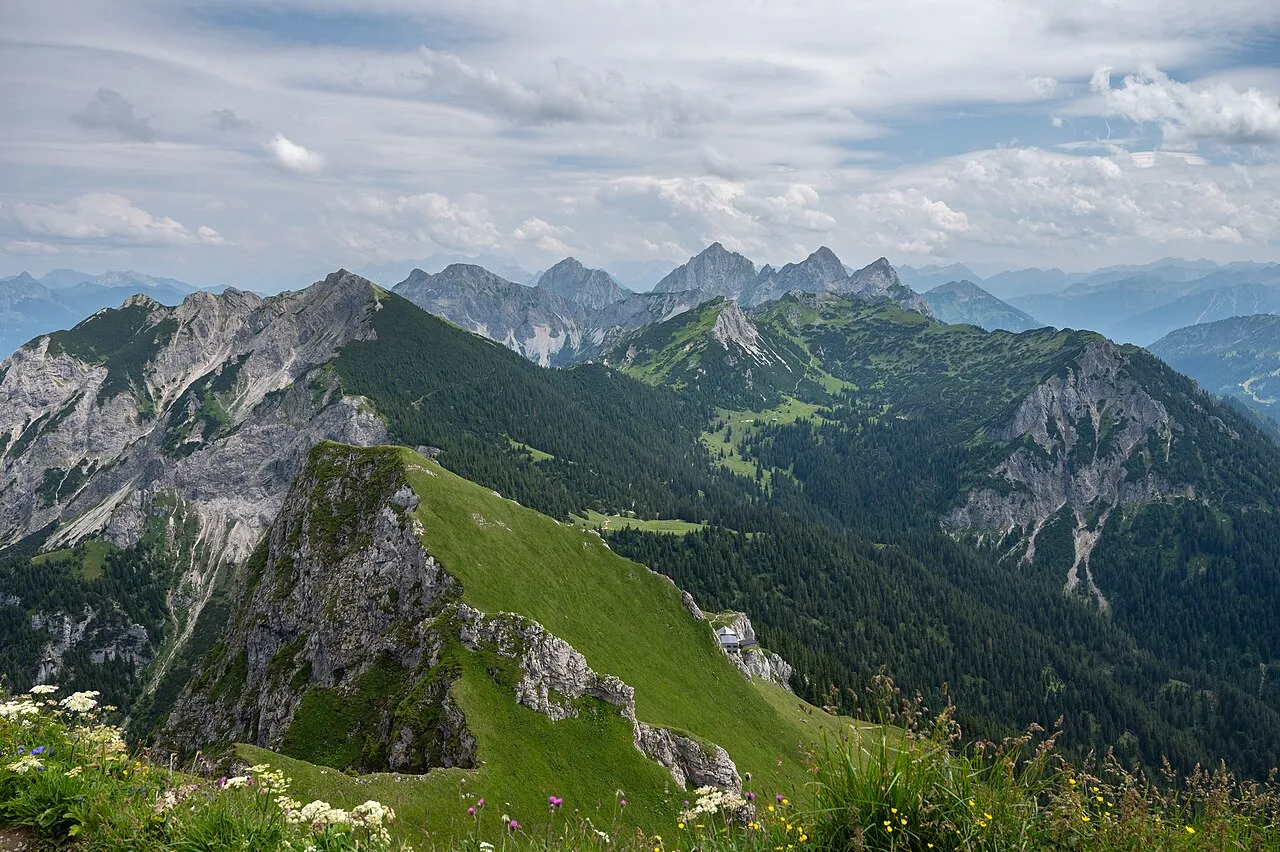
- Elevation
- 1,726 m
- above sea level
- Local time
- UTC+01:00
- Europe/Vienna · UTC+01:00
About Tannheimer Gebirge
Tannheimer Gebirge is a mountain. Location: Austria. Elevation: 1,726 m.
The Tannheim Mountains (German: Tannheimer Berge) are a sub-group of the Allgäu Alps in the Bavarian-Tyrolean border region. Their name is derived from the village of Tannheim in the Tannheim Valley in the Austrian state of Tyrol. The highest peaks in the Tannheim Mountains are the Kellenspitze (2,238 m) and Gimpel (2,176 m); both can easily be ascended from Nesselwängle in the Tannheim valley.
Read more on Wikipedia Text: Wikipedia contributors · CC BY-SA 4.0 · shortened
In comparison
- No. 3913 of 7537 mountains in Austria by elevation
- 141 sights and natural places within 10 km Schlicke, Kleiner Schlicke
Nearest towns and villages
-
Vils Municipality, Politischer Bezirk Reutte2.6 km N
-
Musau Municipality, Politischer Bezirk Reutte2.9 km E
-
Vils Village, Vils3.9 km N
-
Grän Municipality, Politischer Bezirk Reutte4.6 km W
-
Nesselwängle Village, Nesselwängle3.7 km S
-
Nesselwängle Municipality, Politischer Bezirk Reutte4.5 km S
Nearby attractions & nature
Everything nearby-
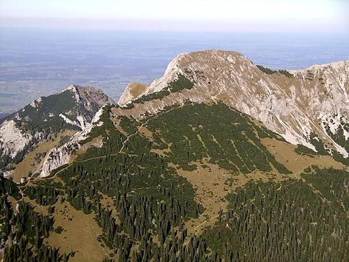 Großer Schlicke Mountain, Musau0.5 km E
-
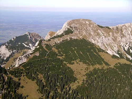 Schlicke Mountain, Vils<0.1 km N
-
Kleiner Schlicke Mountain, Musau0.4 km S
-
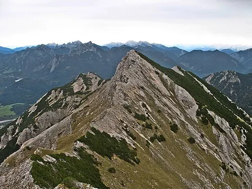 Karretschrofen Mountain, Musau1.1 km E
-
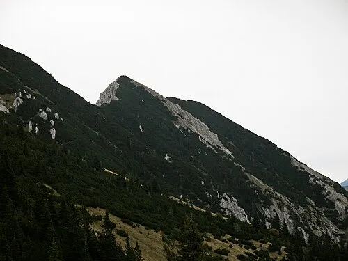 Bugschrofen Mountain, Musau1.2 km E
-
Karrettal Natural site, Tyrol0.9 km NE
-
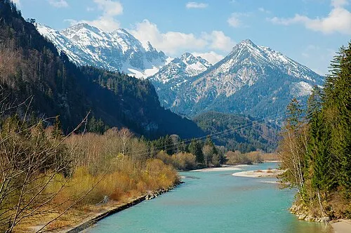 Vilser Kegel Mountain, Vils1.5 km N
-
Hahnenkopf Mountain, Musau0.9 km SW
More nature in Austria
-
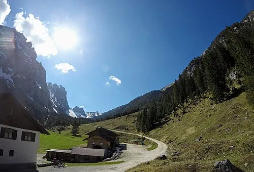 Raintal Natural site, Tyrol2.9 km E
-
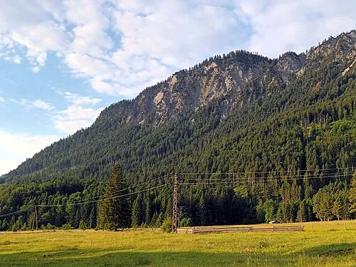 Musauer Berg Mountain, Musau3.3 km E
-
Alptal Natural site, Tyrol2.2 km N
-
Sandtal Natural site, Tyrol2.2 km N
-
Hundsarschjoch Mountain, Vils1.1 km N
-
Läuferspitze Mountain, Grän1.7 km SW
Sources & licences
Data last updated: · 2 independent sources