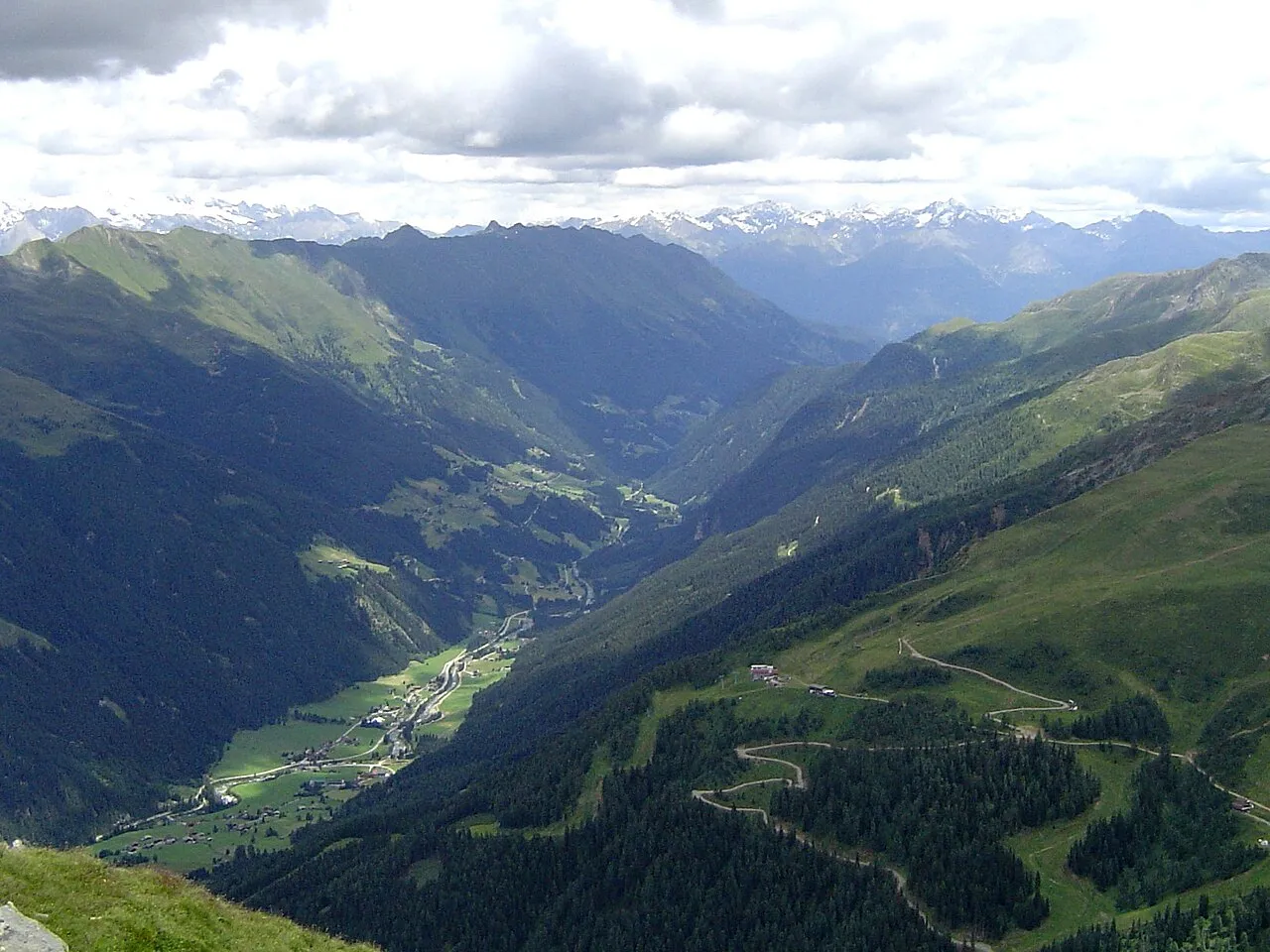
Defereggen
Located in Tyrol, Austria Coordinates: 46°54′56″ N 12°20′24″ E
- Elevation
- 1,379 m
- above sea level
- Local time
- UTC+01:00
- Europe/Vienna · UTC+01:00
About Defereggen
Defereggen is a natural site. Location: Tyrol, Austria.
The Defereggen Valley (German: Defereggental), or simply Defereggen (German pronunciation: [ˈdɛfəʁɛɡn̩] ), is the middle of the three East Tyrolean high mountain valleys running from east to west. Its parallel-running neighbours are the Puster Valley and the Virgen Valley. The Defereggen Valley is linked by a road called the Defereggentalstraße. Its name is derived from the Celtic word dubar (black, dark) or from the Slavic dober (good).
Read more on Wikipedia Text: Wikipedia contributors · CC BY-SA 4.0 · shortened
At a glance
- Length
- 35 km
Source: Wikidata
In comparison
- 47 sights and natural places within 10 km Tögischer Bach, Langschneid
Nearest towns and villages
-
Unterrotte Village, St. Jakob in Defereggen0.5 km W
-
Innerrotte Village, St. Jakob in Defereggen0.5 km NW
-
Außerrotte Village, St. Jakob in Defereggen1 km E
-
Feistritz Village, St. Jakob in Defereggen1.4 km E
-
Innere Großrotte Village, St. Jakob in Defereggen0.5 km W
-
Tögisch Village, St. Jakob in Defereggen0.8 km E
Nearby attractions & nature
Everything nearby-
Tögischer Bach River, Tyrol0.8 km E
-
Langschneid Mountain, St. Jakob in Defereggen2.4 km SW
-
Defereggengebirge Mountain, Italy5.5 km S
-
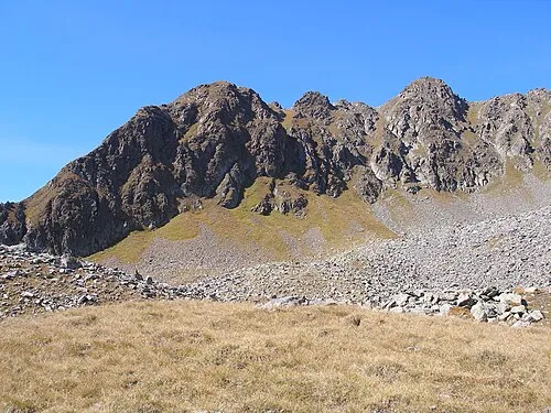 Kastal Mountain, St. Veit in Defereggen3.5 km NE
-
Oberseitsee Lake, Tyrol5.7 km NW
-
Steingrubenhöhe Mountain, St. Jakob in Defereggen3.9 km N
-
Gschritt Mountain, St. Jakob in Defereggen4 km SW
-
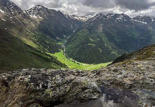 Arntal Natural site, Tyrol7 km SE
More nature in Austria
-
Weißes Beil Mountain, St. Jakob in Defereggen4.2 km NW
-
Rote Spitze Mountain, Innervillgraten4.4 km S
-
Weiße Spitze Mountain, St. Veit in Defereggen4.5 km SE
-
Mullitztörl Mountain, Virgen5.2 km NE
-
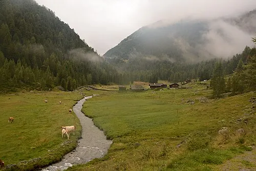 Trojer Alm Mountain, St. Jakob in Defereggen5.3 km NW
-
Blindis Spitze Mountain, St. Jakob in Defereggen5.7 km N
Sources & licences
Data last updated: · 2 independent sources