Inntal
Located in Tyrol, Austria Coordinates: 47°16′52″ N 10°59′11″ E
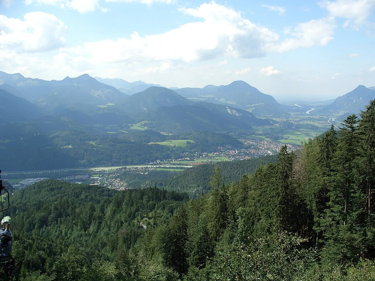
- Elevation
- 635 m
- above sea level
- Local time
- UTC+01:00
- Europe/Vienna · UTC+01:00
About Inntal
Inntal is a natural site. Location: Tyrol, Austria.
The Inntal is the valley containing the Inn river in Switzerland, Austria and Germany. The valley has a total length of 517 km and the biggest city located in Inntal is Innsbruck. The valley is divided into the following sections based on regional and national frontiers: Engadin (Switzerland) Tyrolean Inntal (Tirol, Austria) Bavarian Inntal (Bavaria, Germany) Upper Austrian Inntal (Upper Austria, Austria)
Read more on Wikipedia Text: Wikipedia contributors · CC BY-SA 4.0 · shortened
In comparison
- 42 sights and natural places within 10 km Lehnbach, Achberg
Nearest towns and villages
Nearby attractions & nature
Everything nearby-
Lehnbach River, Tyrol0.3 km NW
-
Achberg Mountain, Mieming3.1 km NE
-
Faltergarten Mountain, Silz3.8 km SW
-
Faltegartenköpfl Mountain, Silz4.6 km SW
-
Grünberg Mountain, Obsteig5.3 km W
-
Pirchkogel Mountain, Stams5.4 km S
-
Jöchle Mountain, Obsteig6.4 km NW
-
Schloss Klamm Historic site, Obsteig3.5 km NW
Sources & licences
Data last updated: · 2 independent sources