Rifflerkar Spitze
Located in Kaunertal, Landeck Coordinates: 46°54′00″ N 10°41′00″ E
- Elevation
- 3,102 m
- above sea level
- Local time
- UTC+01:00
- Europe/Vienna · UTC+01:00
About Rifflerkar Spitze
Rifflerkar Spitze is a mountain. Location: Kaunertal, Landeck. Elevation: 3,102 m.
In comparison
- No. 236 of 7537 mountains in Austria by elevation
- 67 sights and natural places within 10 km Roter Schragen, Glockturm
Airports nearest to Rifflerkar Spitze
- Innsbruck Airport (INN) Innsbruck 64 km
- Bolzano Airport (BZO) Bolzano (BZ) 69 km
- Sankt Gallen Altenrhein Airport (ACH) St. Gallen 107 km
Straight-line distance; airports with scheduled flights only. Source: OurAirports (public domain).
Nearest towns and villages
-
Pfunds Municipality, Landeck9.5 km NW
-
Nauders Municipality, Landeck11 km W
-
Tösens Municipality, Landeck11 km N
-
Pfunds Village, Pfunds13 km NW
-
Ried im Oberinntal Municipality, Landeck14 km N
-
Curon Venosta/Graun im Vinschgau Municipality, South Tyrol15 km SW
Nearby attractions & nature
Everything nearby-
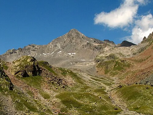 Glockturm Mountain, Kaunertal1.5 km SW
-
Roter Schragen Mountain, Pfunds1.3 km W
-
Habicht Mountain, Kaunertal1.6 km S
-
Turm Mountain, Kaunertal1.7 km SW
-
Arzkarkopf Mountain, Kaunertal2.5 km SW
-
Bruchkopf Mountain, Pfunds2.5 km W
-
Kaiserspitze Mountain, Pfunds2.8 km NW
-
Nasse Wand Mountain, Curon Venosta/Graun im Vinschgau3.4 km S
More nature in Austria
-
Adams Kogl Mountain, Kaunertal3.9 km N
-
Nörderberg Mountain, Kaunertal4.5 km SE
-
Hohes Riff Mountain, Kaunertal9.4 km N
-
Blick Kopf Mountain, Kaunertal6.5 km E
-
Hintere Ölgrubenspitzen Mountain, Kaunertal6.6 km E
-
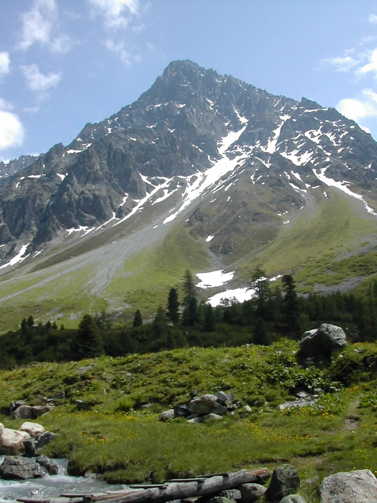 Schwabenkopf Mountain, Kaunertal15 km NE
Sources & licences
Data last updated: · 2 independent sources