Langenfeld
Located in Politischer Bezirk Imst, Tyrol Coordinates: 47°04′00″ N 10°58′00″ E
- Population
- 4,611
- 4.6K
- Elevation
- 1,179 m
- above sea level
- Local time
- UTC+01:00
- Europe/Vienna · UTC+01:00
- Places inside
- 37
- listed under Langenfeld
About Langenfeld
Langenfeld is a municipality. Location: Politischer Bezirk Imst, Tyrol. Population: 4,611. Elevation: 1,179 m.
In comparison
- No. 2 of 24 places in Politischer Bezirk Imst by population
- Nearest larger town: Imst, 26 km NW
- 40 sights and natural places within 10 km Fischbach, Gamskogl
- Listed here: Mountain: 20, Village: 17
Places in Langenfeld
37 places-
Längenfeld Village4.6K
-
Au Village
-
Bockkogel Mountain
-
Breiter Grieskogel Mountain
-
Burgstein Village
-
Dorf Village
-
Gamskogl Mountain
-
Gänsekragen Mountain
-
Gries Village
-
Großer Gaislehnkogel Mountain
-
Hahlkogl Mountain
-
Hauerkogl Mountain
-
Hinterer Brunnenkogel Mountain
-
Huben Village
-
Im Brand Village
-
Kleiner Gaislen Kogl Mountain
-
Lehn Village
-
Lochkogel Mountain
-
Murkarspitze Mountain
-
Oberastlehn Village
-
Oberlängenfeld Village
-
Oberried Village
-
Puitkogel Mountain
-
Runhof Village
-
Schermer Spitze Mountain
-
Schrankogel Mountain
-
Schwarzkopf Mountain
-
Unterastlehn Village
-
Unterlängenfeld Village
-
Vorderer Brunnenkogel Mountain
-
Vorderer Sulzkogel Mountain
-
Westlicher Daunkogel Mountain
-
Wilde Leck Mountain
-
Windacher Daunkogel Mountain
-
Winkle Village
-
Winklen Village
-
Winnebach Village
Nearby attractions & nature
Everything nearby-
Fischbach River, Tyrol<0.1 km N
-
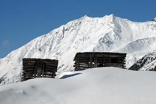 Hörndle Mountain, Umhausen4.5 km NE
-
Sulztal Natural site, Tyrol3.8 km E
-
Ötztal Natural site, Tyrol4.2 km NW
-
Pollesbach River, Tyrol3.9 km S
-
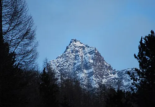 Strahlkogl Mountain, Umhausen6.7 km NE
-
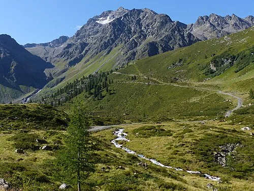 Blockkogl Mountain, Umhausen6.6 km W
-
Grastalsee Lake, Tyrol4.5 km NE
Sources & licences
Data last updated: