Strahlkogl
Located in Umhausen, Politischer Bezirk Imst Coordinates: 47°07′00″ N 11°01′00″ E
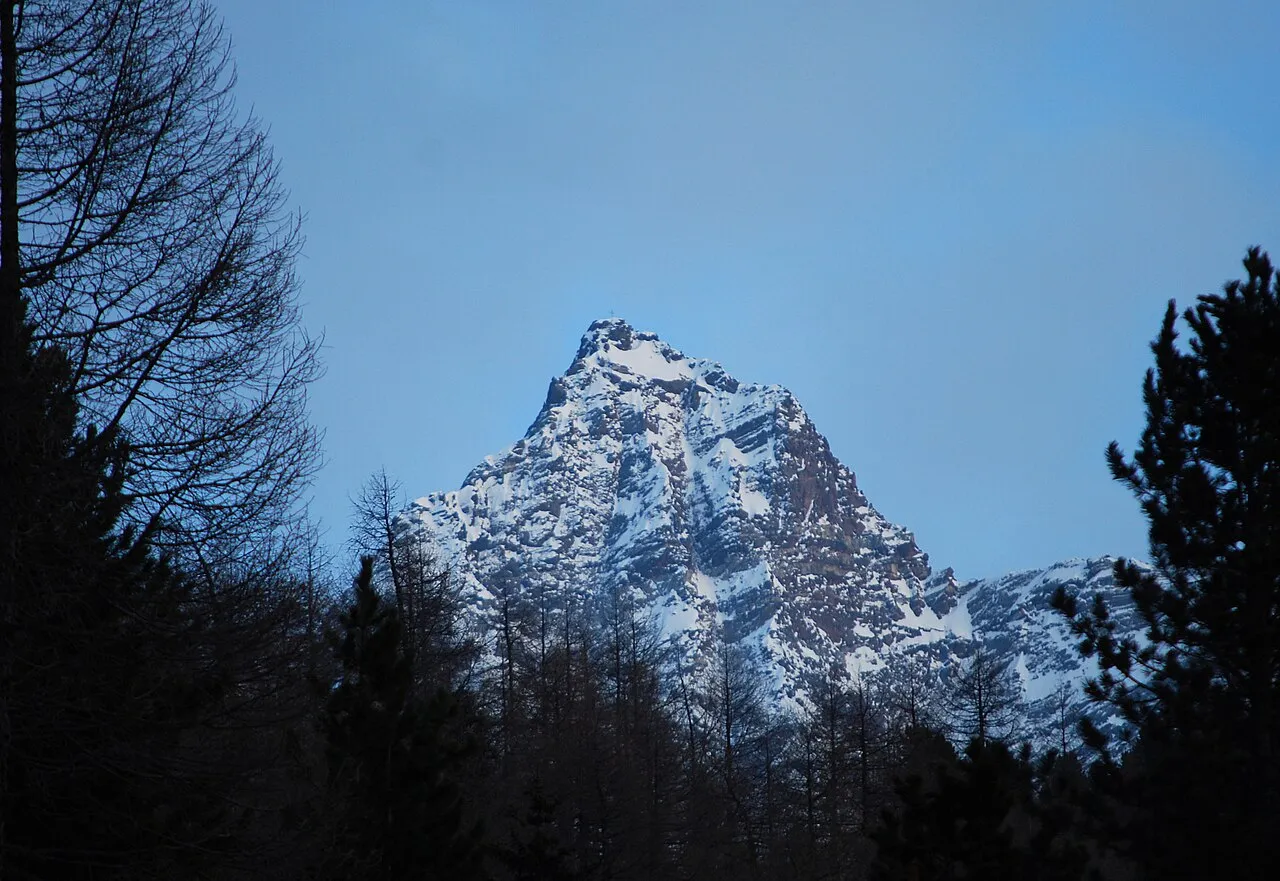
- Elevation
- 2,484 m
- above sea level
- Local time
- UTC+01:00
- Europe/Vienna · UTC+01:00
- Airports
- INN Innsbruck Airport29 km
- BZO Bolzano Airport77 km
About Strahlkogl
Strahlkogl is a mountain. Location: Umhausen, Politischer Bezirk Imst. Elevation: 2,484 m.
The Strahlkogel, at 3,288 m (AA), is the highest peak in the Larstiger Mountains (Larstiger Berge), a subgroup of the Stubai Alps in the Austrian state of Tyrol. The Strahlkogel is also the highest mountain in the municipality of Umhausen. Its name comes from its great, white, light-reflecting, quartz layers, which allegedly cause the mountain to "radiate" (strahlen). It has the shape of a well-proportioned, steep and pointed pyramid.
Source: Wikipedia · CC BY-SA 4.0
Photos of Strahlkogl
-

Björn S · CC BY-SA 2.0 -

Marille123 · CC BY-SA 4.0 -

GabrielHerz · CC BY-SA 4.0 -

Svíčková · CC BY-SA 3.0 -

Svíčková · CC BY-SA 3.0


Climate of Strahlkogl
This month · November
A wet month
Day -2° · Night -7° · Rain 102 mm
- Hottest month
- August (day 10°)
- Coldest month
- February (night -12°)
- Wettest month
- July (136 mm)
- Driest month
- February (80 mm)
Bars: average monthly low and high temperature. Below: precipitation. Monthly averages for 1970–2000 at about 18 km resolution, adjusted for elevation. Highlighted months are mild and relatively dry. Source: WorldClim 2.1 (CC BY 4.0).
Show values as a table
| Month | Jan | Feb | Mar | Apr | May | Jun | Jul | Aug | Sep | Oct | Nov | Dec |
|---|---|---|---|---|---|---|---|---|---|---|---|---|
| Average high (°C) | -6° | -6° | -4° | -1° | 4° | 7° | 10° | 10° | 7° | 3° | -2° | -4° |
| Average low (°C) | -12° | -12° | -10° | -7° | -3° | 0° | 3° | 3° | 0° | -3° | -7° | -10° |
| Precipitation (mm) | 88 | 80 | 105 | 107 | 104 | 129 | 136 | 122 | 91 | 80 | 102 | 96 |
How to get to Strahlkogl
The nearest airport is Innsbruck Airport (INN), 29 km to the northeast as the crow flies. The nearest large city is Innsbruck, 33 km to the northeast.
Airports
- Innsbruck Airport (INN) Innsbruck 29 kmnortheast
- Bolzano Airport (BZO) Bolzano (BZ) 77 kmsouth
- Memmingen Allgau Airport (FMM) Memmingen 113 kmnorthwest
Nearby large cities
- Innsbruck Population: 132.5K 33 kmnortheast
- Munich Population: 1.5M 121 kmnorth
- Augsburg Population: 301.1K 140 kmnorth
- Ulm Population: 120.5K 162 kmnorthwest
- Salzburg Population: 157.2K 171 kmnortheast
Straight-line distances; road distances are longer. Airport data: OurAirports.
Day trips from Strahlkogl
Within 100 km: 189 historic and cultural sites, 5,298 natural sites, 1,051 lakes, rivers and coasts.
0–25 km304 places
- Wilder See Lake 11 kmW
- Wannensee Lake 19 kmS
- Taxersee Lake 15 kmNE
- Seekar See Lake 17 kmS
25–60 km1,983 places
- Kapfkopf Mountain 47 kmW
- Vesilspitze Mountain 57 kmW
- Bürkelkopf Mountain 53 kmW
- Punta di Rassas Mountain 60 kmSW
60–100 km4,251 places
- Bayerisches Oberland Mountain 65 kmNE
- Schloss Hirschberg am Haarsee Historic site 79 kmN
- Lake Davos Lake 94 kmW
- Gotschnaseeli Lake 94 kmW
Straight-line distances.
Nearest towns and villages
-
Niederthai Village, Umhausen4 km W
-
Längenfeld Village, Langenfeld5.9 km SW
-
Langenfeld Municipality, Politischer Bezirk Imst6.7 km SW
-
Umhausen Village, Umhausen7 km W
-
Sennhof Village, Umhausen4.2 km NW
-
 Köfels Village, Umhausen7.6 km W
Nearby attractions & nature
Everything nearby-
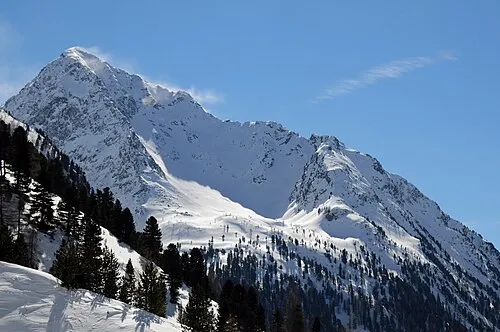 Neederkogl Mountain, Umhausen2.2 km NW
-
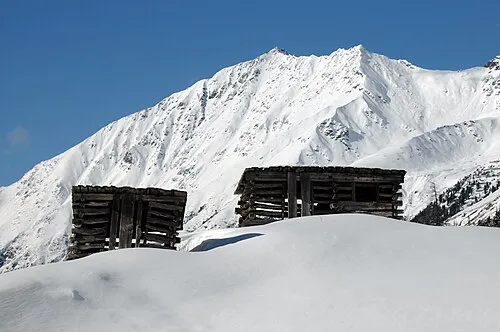 Hörndle Mountain, Umhausen2.2 km SW
-
Breiter Grieskogel Mountain, Langenfeld1.9 km S
-
Brand Mountain, Umhausen2.4 km NW
-
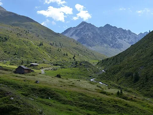 Zwieseltal Natural site, Tyrol3.9 km N
-
Grastalsee Lake, Tyrol2.2 km SW
-
Gänsekragen Mountain, Langenfeld3.4 km SE
-
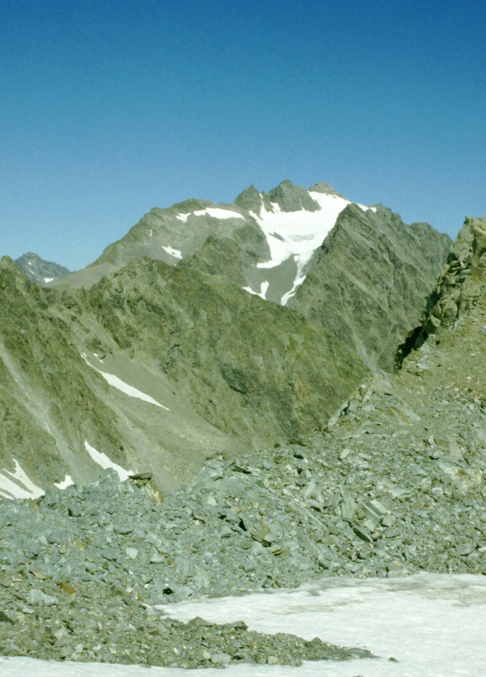 Hoher Seeblaskogel Mountain, St. Sigmund im Sellrain5 km SE
More nature in Austria
-
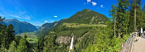 Narrenkogel Mountain, Umhausen5.4 km W
-
Poschachkogel Mountain, Umhausen4.6 km NW
-
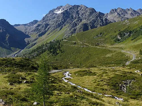 Blockkogl Mountain, Umhausen11 km W
-
Hohe Wasserfalle Mountain, Umhausen6.7 km NW
-
Hochreichkopf Mountain, Umhausen7 km NW
-
Schartenkopf Mountain, Umhausen7 km N
Sources & licences
Data last updated: · 2 independent sources