Narrenkogel
Located in Umhausen, Politischer Bezirk Imst Coordinates: 47°08′00″ N 10°57′00″ E
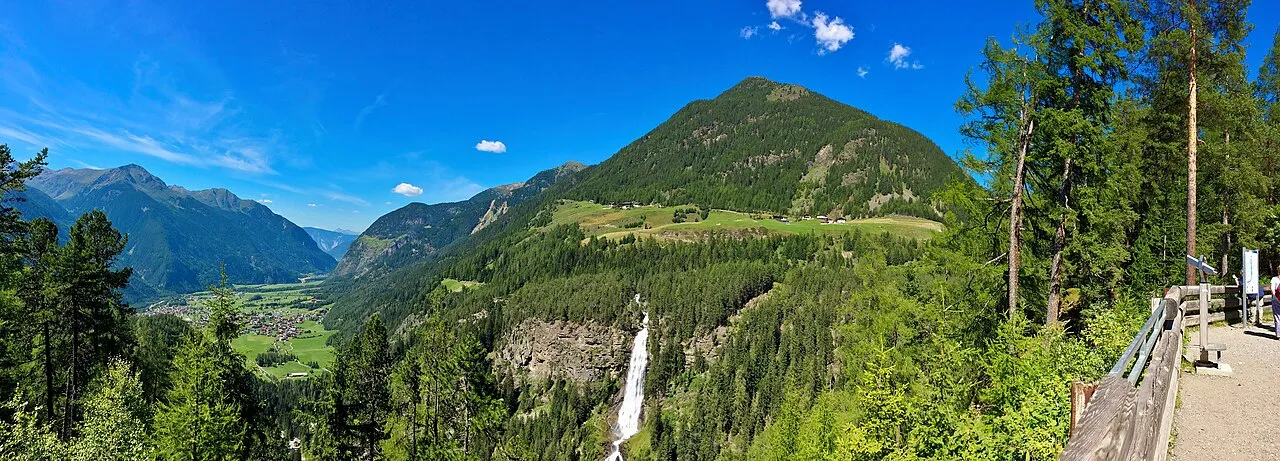
- Elevation
- 2,309 m
- above sea level
- Local time
- UTC+01:00
- Europe/Vienna · UTC+01:00
- Airports
- INN Innsbruck Airport33 km
- BZO Bolzano Airport80 km
About Narrenkogel
Narrenkogel is a mountain. Location: Umhausen, Politischer Bezirk Imst. Elevation: 2,309 m. The nearest airport is Innsbruck Airport (33 km). Nearby sights include Stuibenfall and Hairlachbach.
Photos of Narrenkogel
-
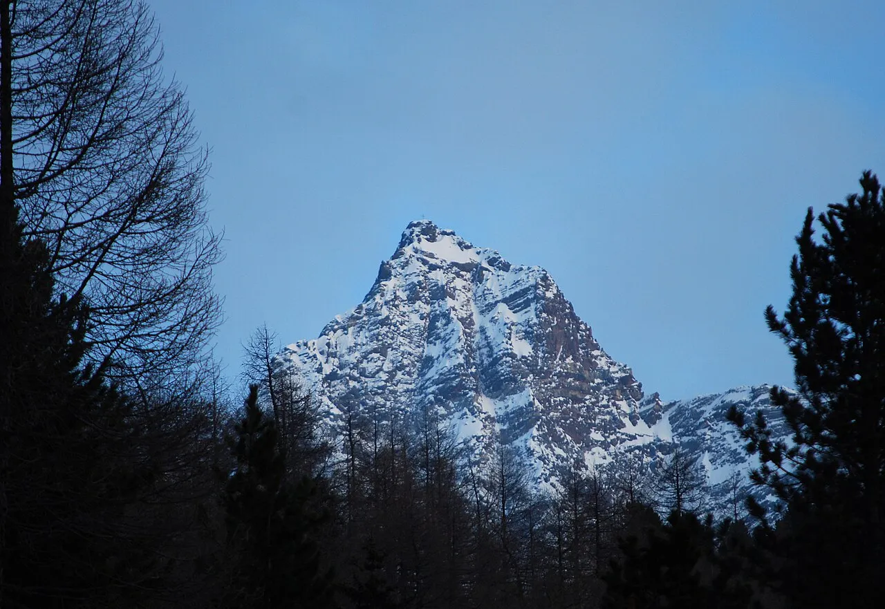
Strahlkogl Svíčková · CC BY-SA 3.0 -
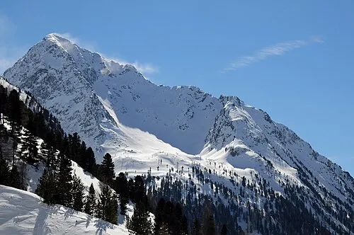
Neederkogl Henk Monster · CC BY 3.0 -
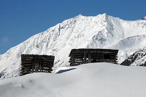
Hörndle Henk Monster · CC BY 3.0 -
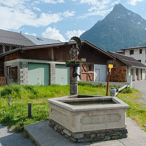
Hauerkogl Ailura · CC BY-SA 3.0 at -
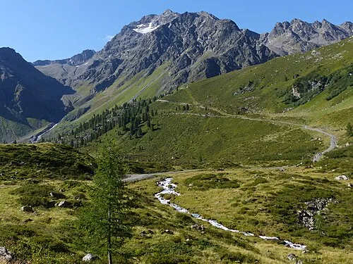
Blockkogl Whgler · CC BY-SA 4.0


Climate of Narrenkogel
This month · November
A cold month
Day -1° · Night -7° · Rain 78 mm
- Hottest month
- July (day 12°)
- Coldest month
- January (night -11°)
- Wettest month
- July (126 mm)
- Driest month
- February (60 mm)
Bars: average monthly low and high temperature. Below: precipitation. Monthly averages for 1970–2000 at about 18 km resolution, adjusted for elevation. Highlighted months are mild and relatively dry. Source: WorldClim 2.1 (CC BY 4.0).
Show values as a table
| Month | Jan | Feb | Mar | Apr | May | Jun | Jul | Aug | Sep | Oct | Nov | Dec |
|---|---|---|---|---|---|---|---|---|---|---|---|---|
| Average high (°C) | -5° | -4° | -2° | 1° | 6° | 10° | 12° | 12° | 9° | 5° | -1° | -4° |
| Average low (°C) | -11° | -11° | -9° | -6° | -1° | 1° | 4° | 4° | 1° | -2° | -7° | -10° |
| Precipitation (mm) | 65 | 60 | 77 | 82 | 93 | 119 | 126 | 116 | 84 | 71 | 78 | 73 |
How to get to Narrenkogel
The nearest airport is Innsbruck Airport (INN), 33 km to the northeast as the crow flies. The nearest large city is Innsbruck, 37 km to the northeast.
Airports
- Innsbruck Airport (INN) Innsbruck 33 kmnortheast
- Bolzano Airport (BZO) Bolzano (BZ) 80 kmsouth
- Memmingen Allgau Airport (FMM) Memmingen 109 kmnorthwest
Nearby large cities
- Innsbruck Population: 132.5K 37 kmnortheast
- Munich Population: 1.5M 121 kmnortheast
- Augsburg Population: 301.1K 138 kmnorth
- Ulm Population: 120.5K 158 kmnorthwest
- Winterthur Population: 111.8K 173 kmwest
Straight-line distances; road distances are longer. Airport data: OurAirports.
Day trips from Narrenkogel
Within 100 km: 207 historic and cultural sites, 5,318 natural sites, 1,066 lakes, rivers and coasts.
0–25 km277 places
- Wilder See Lake 8 kmSW
- Wannensee Lake 22 kmSE
- Taxersee Lake 17 kmNE
- Seekar See Lake 20 kmSE
25–60 km2,180 places
- Kapfkopf Mountain 43 kmW
- Vesilspitze Mountain 53 kmSW
- Bürkelkopf Mountain 48 kmW
- Punta di Rassas Mountain 57 kmSW
60–100 km4,134 places
- Bayerisches Oberland Mountain 66 kmNE
- Schloss Hirschberg am Haarsee Historic site 78 kmN
- Lake Davos Lake 90 kmW
- Gotschnaseeli Lake 89 kmW
Straight-line distances.
Nearest towns and villages
-
Umhausen Village, Umhausen1.7 km W
-
Niederthai Village, Umhausen1.5 km SE
-
Niederthei Village, Umhausen<0.1 km N
-
 Köfels Village, Umhausen3.1 km SW
-
Sennhof Village, Umhausen1.3 km E
-
Östen Village, Umhausen4.5 km NW
Nearby attractions & nature
Everything nearby-
Stuibenfall Natural site, Tyrol<0.1 km N
-
Hairlachbach River, Tyrol1.3 km W
-
Poschachkogel Mountain, Umhausen2.4 km NE
-
Neederkogl Mountain, Umhausen3.8 km E
-
Brand Mountain, Umhausen3 km E
-
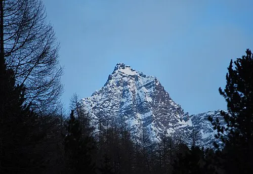 Strahlkogl Mountain, Umhausen5.4 km E
-
Wenderkogl Mountain, Umhausen3.8 km W
-
Hohe Wasserfalle Mountain, Umhausen3.9 km N
More nature in Austria
-
Hörndle Mountain, Umhausen5.3 km SE
-
Blockkogl Mountain, Umhausen7.5 km SW
-
Hochreichkopf Mountain, Umhausen4.4 km N
-
Hohe Warte Mountain, Umhausen4.6 km N
-
Acherkogel Mountain, Umhausen5.6 km N
-
Achplatte Mountain, Umhausen6.2 km N
Sources & licences
Data last updated: · 2 independent sources