Waidring
Located in Politischer Bezirk Kitzbühel, Tyrol Coordinates: 47°35′11″ N 12°34′37″ E
- Population
- 2,019
- 2K
- Elevation
- 791 m
- above sea level
- Local time
- UTC+01:00
- Europe/Vienna · UTC+01:00
- Places inside
- 6
- listed under Waidring
About Waidring
Waidring is a municipality. Location: Politischer Bezirk Kitzbühel, Tyrol. Population: 2,019. Elevation: 791 m.
In comparison
- No. 11 of 20 places in Politischer Bezirk Kitzbühel by population
- Nearest larger town: Reit im Winkl, 9 km NW
- 36 sights and natural places within 10 km Steinplatte, Hochgründberg
- Listed here: Village: 4, Mountain: 2
Places in Waidring
6 places-
Waidring Village2K
-
Hausergasse Village
-
Rothorn Mountain
-
Steinplatte Mountain
-
Strub Village
-
Winkl Village
Nearby attractions & nature
Everything nearby-
Hochgründberg Mountain, Kirchdorf in Tirol4 km SW
-
Ulrichshorn Mountain, St. Ulrich am Pillersee4.4 km SE
-
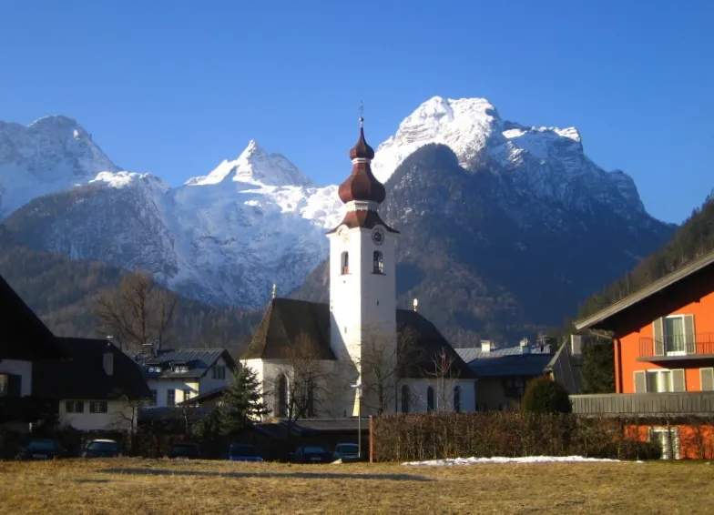 Breithorn Mountain, Lofer5.9 km SE
-
Hinterhorn Mountain, St. Ulrich am Pillersee5 km SE
-
Scheibelberg Mountain, Carinthia5.3 km N
-
Schönbühel Mountain, Lofer5.3 km E
-
Kirchberg Mountain, Kirchdorf in Tirol6.8 km SW
-
Grubhörndl Mountain, Lofer6.9 km E
Sources & licences
Data last updated: