Große Gamswiesenspitze
Located in Amlach, Politischer Bezirk Lienz Coordinates: 46°45′59″ N 12°46′59″ E
- Elevation
- 2,486 m
- above sea level
- Local time
- UTC+01:00
- Europe/Vienna · UTC+01:00
- Airports
- SZG Salzburg Airport115 km
- BZO Bolzano Airport117 km
About Große Gamswiesenspitze
Große Gamswiesenspitze is a mountain. Location: Amlach, Politischer Bezirk Lienz. Elevation: 2,486 m. The nearest airport is Salzburg Airport (115 km). Nearby sights include Wildsender and Weissstein.
Photos of Große Gamswiesenspitze
-
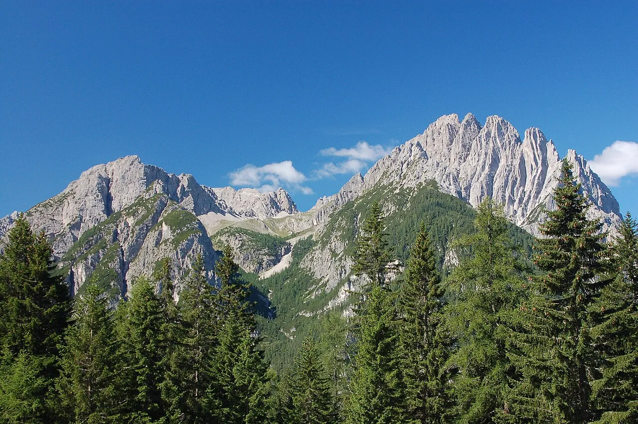
Spitzkofel Michael Kranewitter, Vienna · CC BY 2.5 -
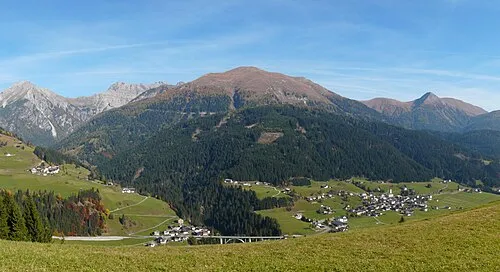
Riebenkofel Ironbernietyrol · CC BY-SA 4.0 -
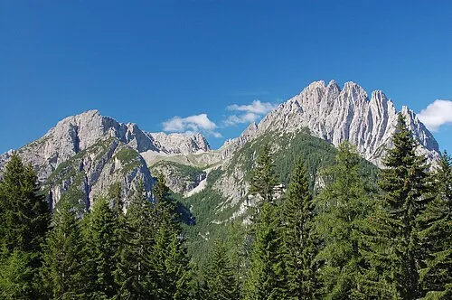
Lienzer Dolomiten Michael Kranewitter, Vienna · CC BY 2.5 -
Kreuzkofel Michael Kranewitter, Vienna · CC BY 2.5 -
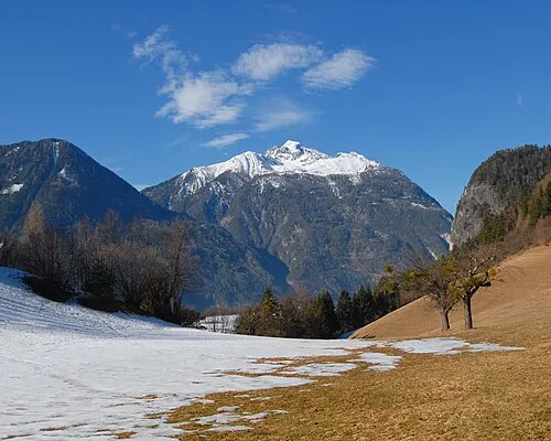
Hochstadel Mihael Grmek · CC BY-SA 3.0


Climate of Große Gamswiesenspitze
This month · November
A cold month
Day -3° · Night -10° · Rain 96 mm
- Hottest month
- July (day 11°)
- Coldest month
- January (night -14°)
- Wettest month
- July (151 mm)
- Driest month
- February (54 mm)
Bars: average monthly low and high temperature. Below: precipitation. Monthly averages for 1970–2000 at about 18 km resolution, adjusted for elevation. Highlighted months are mild and relatively dry. Source: WorldClim 2.1 (CC BY 4.0).
Show values as a table
| Month | Jan | Feb | Mar | Apr | May | Jun | Jul | Aug | Sep | Oct | Nov | Dec |
|---|---|---|---|---|---|---|---|---|---|---|---|---|
| Average high (°C) | -7° | -6° | -3° | 1° | 6° | 9° | 11° | 11° | 8° | 3° | -3° | -7° |
| Average low (°C) | -14° | -14° | -11° | -8° | -4° | 0° | 2° | 2° | -1° | -5° | -10° | -13° |
| Precipitation (mm) | 56 | 54 | 71 | 89 | 114 | 139 | 151 | 138 | 112 | 104 | 96 | 68 |
How to get to Große Gamswiesenspitze
The nearest airport is Salzburg Airport (SZG), 115 km to the north as the crow flies. The nearest large city is Salzburg, 117 km to the north.
Airports
- Salzburg Airport (SZG) Salzburg 115 kmnorth
- Bolzano Airport (BZO) Bolzano (BZ) 117 kmwest
- Trieste Airport (TRS) Ronchi dei Legionari/Trieste 117 kmsoutheast
Nearby large cities
- Salzburg Population: 157.2K 117 kmnorth
- Klagenfurt Population: 100.3K 117 kmeast
- Innsbruck Population: 132.5K 119 kmnorthwest
- Ljubljana Population: 272.2K 154 kmsoutheast
- Munich Population: 1.5M 178 kmnorthwest
Straight-line distances; road distances are longer. Airport data: OurAirports.
Day trips from Große Gamswiesenspitze
Within 100 km: 128 historic and cultural sites, 3,535 natural sites, 643 lakes, rivers and coasts.
0–25 km292 places
- Wolayersee Lake 18 kmS
- Wagenitzsee Lake 18 kmN
- Unterer Ganitzsee Lake 21 kmNW
- Geigensee Lake 24 kmNW
25–60 km1,662 places
- Sille River 27 kmW
- Fürlegsee Lake 43 kmN
- Vorderer Langtalsee Lake 26 kmN
- Eissee Lake 45 kmNW
60–100 km2,352 places
- Lake Bohinj Lake 99 kmSE
- Triglav Mountain 92 kmSE
- Rjavina Mountain 94 kmSE
- Prestreljenik Mountain 69 kmSE
Straight-line distances.
Nearest towns and villages
Nearby attractions & nature
Everything nearby-
Wildsender Mountain, Amlach1.4 km SE
-
Weissstein Mountain, Amlach1.9 km N
-
Laserzwand Mountain, Tristach1.6 km NE
-
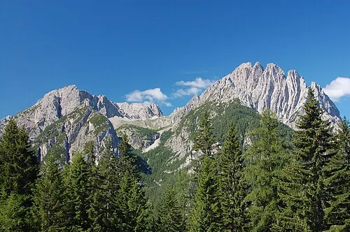 Spitzkofel Mountain, Amlach3 km W
-
Roter Turm Mountain, Tristach1.9 km E
-
Kreuzkofel Mountain, Amlach3.4 km W
-
Weittalspitze Mountain, Tyrol2.3 km SW
-
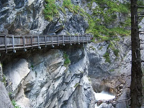 Galitzenklamm Natural site, Tyrol3 km NW
Sources & licences
Data last updated: