Spitzkofel
Located in Amlach, Politischer Bezirk Lienz Coordinates: 46°46′23″ N 12°44′41″ E
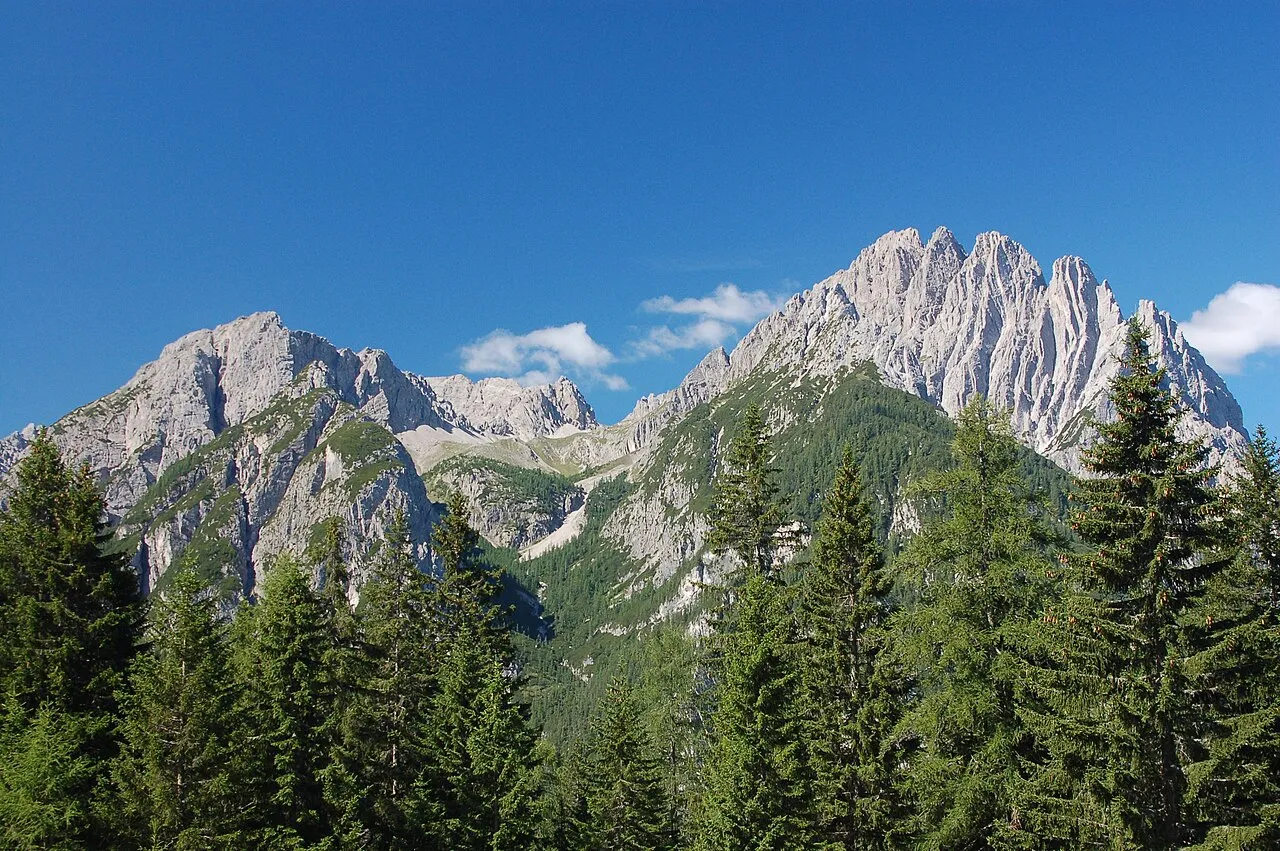
- Elevation
- 2,717 m
- above sea level
- Local time
- UTC+01:00
- Europe/Vienna · UTC+01:00
About Spitzkofel
Spitzkofel is a mountain. Location: Amlach, Politischer Bezirk Lienz. Elevation: 2,717 m.
Spitzkofel (2,717 m) is a mountain of the Lienz Dolomites in East Tyrol, Austria. The local mountain for the village of Leisach in the Lienz District, Spitzkofel is the most rugged peak of the Lienz Dolomites. It was probably first claimed in 1798 and is still a popular hiking peak, with excellent views from its summit towards the main town of Lienz, across the Lienz Dolomites, Austria's highest peak Großglockner, Großvenediger and the Carnic Alps.
Read more on Wikipedia Text: Wikipedia contributors · CC BY-SA 4.0 · shortened
In comparison
- No. 801 of 7537 mountains in Austria by elevation
- 43 sights and natural places within 10 km Kreuzkofel, Galitzenklamm
Airports nearest to Spitzkofel
- Bolzano Airport (BZO) Bolzano (BZ) 114 km
- Salzburg Airport (SZG) Salzburg 115 km
- Trieste Airport (TRS) Ronchi dei Legionari/Trieste 119 km
Straight-line distance; airports with scheduled flights only. Source: OurAirports (public domain).
Nearest towns and villages
-
Leisach Municipality, Politischer Bezirk Lienz1.9 km W
-
Leisach-Gries Village, Leisach3.2 km N
-
Burgfrieden Village, Leisach3.4 km NW
-
Tristach Municipality, Politischer Bezirk Lienz4.8 km NE
-
Amlach Village, Amlach5 km N
-
Leisach Village, Leisach4.4 km N
Nearby attractions & nature
Everything nearby-
 Kreuzkofel Mountain, Amlach1.8 km S
-
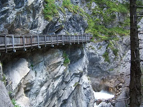 Galitzenklamm Natural site, Tyrol2.6 km NE
-
 Lienzer Dolomiten Mountain, Carinthia2.6 km S
-
Weissstein Mountain, Amlach3.2 km E
-
Große Gamswiesenspitze Mountain, Amlach3 km E
-
Weittalspitze Mountain, Tyrol3.1 km SE
-
Rauchkofel Mountain, Tristach4.3 km NE
-
Galitzen Bach River, Tyrol3 km N
Sources & licences
Data last updated: · 2 independent sources